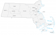
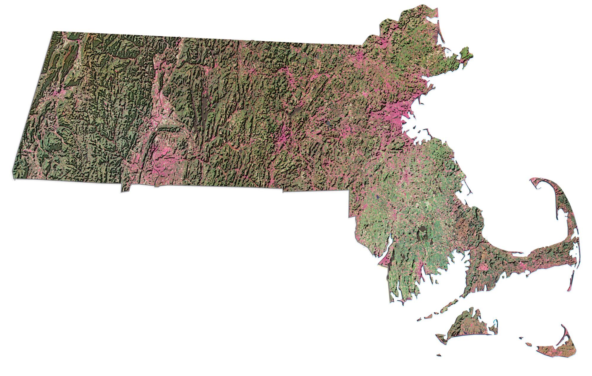
Map of Massachusetts – Cities and Roads

About the map
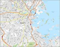
This Massachusetts map contains cities, roads, rivers, and lakes. For example, Boston, Springfield, and Worcester are some of the major cities shown in this map of Massachusetts.
Massachusetts is like the “Library of America“. It has the best university in all of the United States, Harvard University. Also, Massachusetts has Cape Cod known for its beaches and small-town vibes.
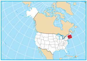
Massachusetts’ entire eastern coast is the North Atlantic Ocean, which includes Cape Cod Bay. It borders New Hampshire, Vermont, New York, Connecticut, and Rhode Island. The state also belongs to the New England region of the United States in the Northeastern United States.
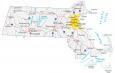
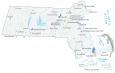
Massachusetts map collection
You are free to use our map of Massachusetts for educational and commercial uses. Attribution is required. How to attribute?
State capital
Boston
Major cities and towns
Boston
Lowell
Springfield
Worcester
Cambridge
Chicopee
Brockton
Fall River
Fitchburg
Gloucester
Haverhill
Holyoke
Lawrence
New Bedford
Northampton
Pittsfield
Salem
Taunton
Westfield
Quincy
Framingham
Marlborough
Woburn
Malden Lynn
Newton
Brookline
Franklin
North Adams
Provincetown
Hyannis
Greenfield
Stockbridge
Goshen
Easthampton
Amherst
Athol
Ware
Auburn
Falmouth
Barnstable
Wareham
Plymouth
Scituate
Interstate highways
Interstate-90 (I-90)
Interstate-91 (I-91)
Interstate-93 (I-93)
Interstate-95 (I-95)
Interstate-90 (I-90)
Interstate-190 (I-190)
Interstate-195 (I-195)
Interstate-395 (I-395)
Interstate-495 (I-495)
Lakes, rivers and water features
Cape Cod Bay
Nantucket Sound
Long Island Sound
Buzzards Bay
Connecticut River
Quabbin Reservoir
Landmarks in Massachusetts
Mount Greylock
Martha’s Vineyard
Nantucket Island
Cape Cod
Cape Ann