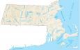
Map of Boston, Massachusetts

Map of Boston
Do you want a map of Boston, Massachusetts? Yes? Because we have quite a set of maps, which includes major highways and roads, things to do, landmarks, and an interactive map. Just download and print.
Boston has a rich history as it was a center of conflict during the American Revolution. But now, it’s best known for its baseball, marathon, the bar from Cheers (the Bull & Finch Pub), and much more!
From the famed Harvard University to the historical churches and parks, this city has it all. This Boston map collection provides maps of New England’s most historic city.
Jump To: Interactive Map | Printable Road Map | 10 Things to Do | Reference Map
Boston map collection
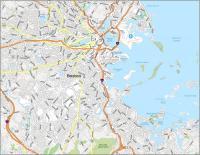
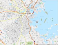
Interactive Map of Boston
This Boston interactive map shows you everything you need to know. From the best places to eat to the best places to shop, this map will help you find what you want quickly. Explore the city of Boston in so many ways to find out what’s going on in Boston and the surrounding area.
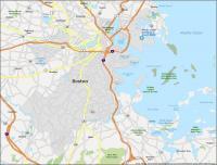
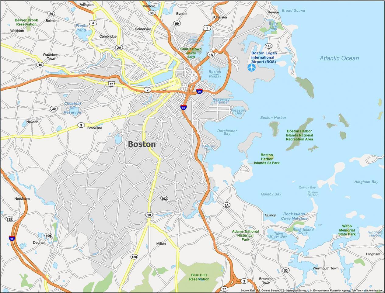
Boston Road Map
Find your way around with this road map of Boston. This handy tool can help you navigate around Boston with major highways like I-90 and I-93. This map will help when traveling in unfamiliar areas or when you’re just trying to get around the city. Try this Massachusetts road map if you’re looking to get around outside of Boston.
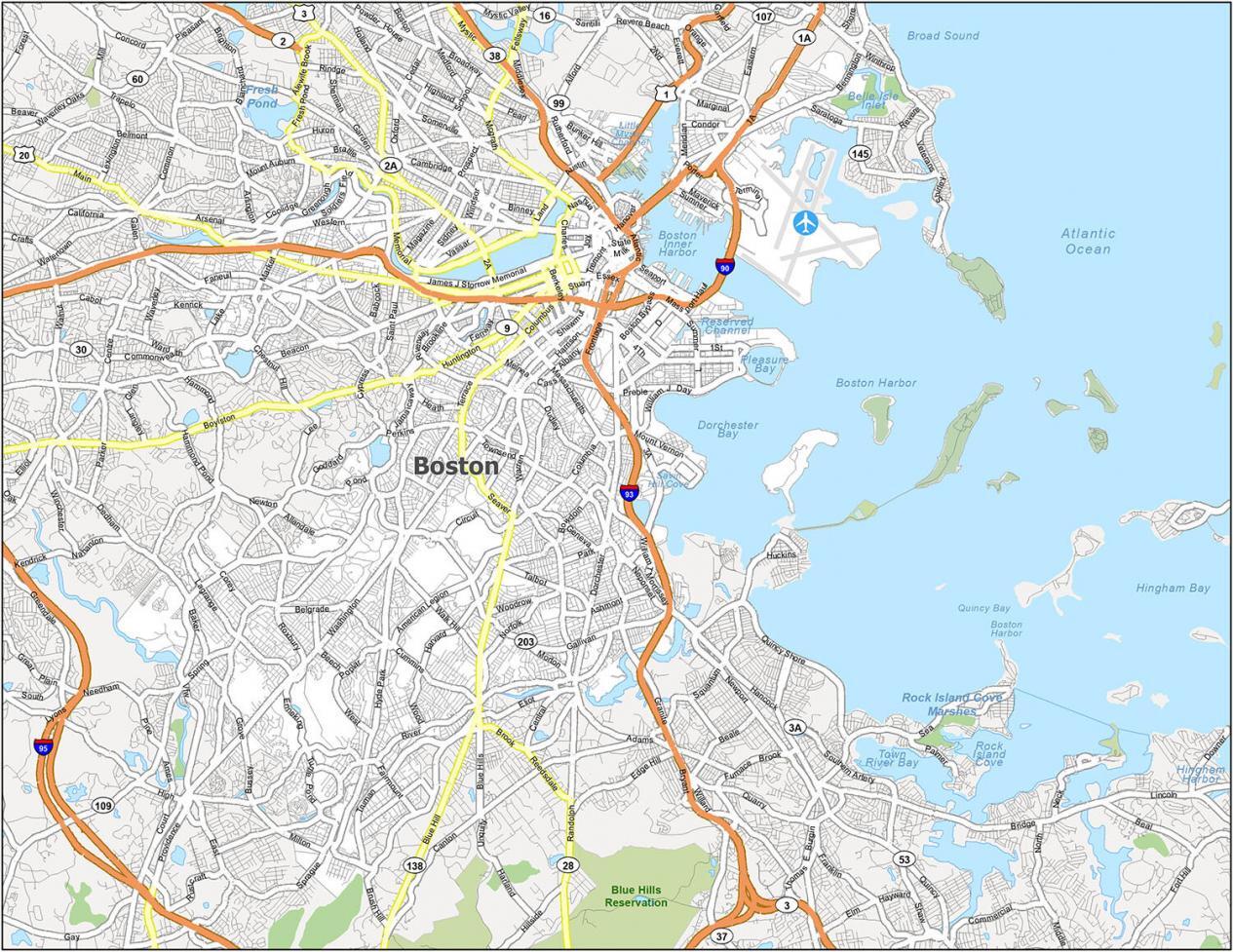
Interstate Highways: I-90, I-93
US Highways: 1, 1A, 2, 2A, 3, 3A, 9, 20, 28, 90, 99, 109, 203, William F Mcclellan Hwy,
Parkways: Jamaicaway, Veterans of Foreign Wars Parkway (VFW) Pky
Major Roads: Adams St, Alford St, Arborway, Arlington St, Beacon St, Blue Hill Ave, Boylston St, Bridge, Broadway, Brookline Ave, Cambridge St, Carlton St, Causeway St, Centre St, Charles St, Charlestown Bridge, Chelsea St, Clarendon St, Columbus Ave, Commonwealth Ave, Dartmouth St, Dorchester Ave, Essex St, Fenway, Frontage Rd, Gallivan Blvd, Granite Ave, Harvard St, Huntington Ave, Leverett Cir, Lomasney Way, Longfellow Bridge, Martha Rd, Massachusetts Ave, Merrimac St, Morrissey Blvd, Morton St, Mountfort St, Nashua St, Park Dr, River Rd, Riverway St, Rutherford Ave, Saint James Ave, Seaver St, Soldiers Field Rd
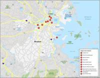
10 Things To Do in Boston
Boston is a great destination and is home to a ton of sports teams like the Bruins, Red Sox, Patriots, and Celtics. Get started by walking around Harvard Square or shopping on Newbury Street. Finally, you can visit historic sites such as Bunker Hill, Fenway Park, and Paul Revere’s House. This map is a great way to get to know the city and find your way around Beantown.
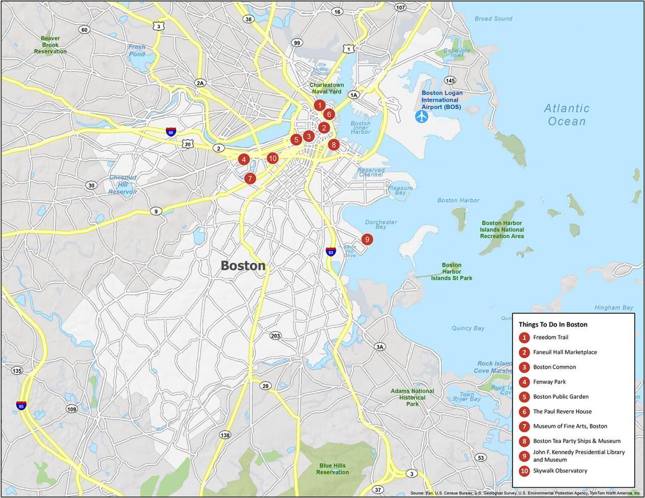
If you go to Boston, you should try to check out a Red Sox game at Fenway Park. Otherwise, Freedom Trail tops the list because of its historical significance. This 2.5 mile-long trail weaves through downtown Boston, entering Boston Common to the Bunker Hill Monument in Charlestown.
- Freedom Trail
- Faneuil Hall Marketplace
- Boston Common
- Fenway Park
- Boston Public Garden
- The Paul Revere House
- Museum of Fine Arts, Boston
- Boston Tea Party Ships & Museum
- John F. Kennedy Presidential Library and Museum
- Skywalk Observatory
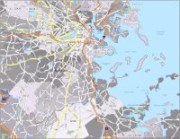
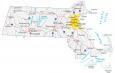
Boston Reference Map
Boston is the most populous city in Massachusetts with over 675,000 people. 4.7 million are in the Boston-Cambridge-Newton greater area. It’s been a favorite among visitors for decades and is now one of the most visited cities in the United States. This map gives you a detailed view of Boston’s neighborhoods and other must-see places.
Airport: Boston Logan International Airport (BOS)
Cities: Boston, Braintree Town, Cambridge, Chelsea, Everett, Medford, Newton, Quincy, Revere, Somerville, Waltham, Watertown Town, Weymouth Town, Winthrop Town
Census-Designated Places (CDP): Arlington, Belmont, Brookline, Dedham, Hingham, Hull, Milton, Nahant, Needham
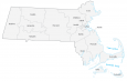
This is not Boston….this is maybe Greater Boston, or outside of Boston.
If you don’t see the neighborhood listed below, it ain’t Boston.
Allston
Back Bay
Bay Village
Beacon Hill
Brighton
Charlestown
Chinatown–Leather District
Dorchester
Downtown
East Boston
Fenway-Kenmore
Hyde Park
Jamaica Plain
Mattapan
Mission Hill
North End
Roslindale
Roxbury
South Boston
South End
West Roxbury
The neighborhoods you’ve listed matches our neighborhood map of Boston – https://gisgeography.com/boston-neighborhood-map/
If you compare the Boston neighborhoods map, this is the exact same extent that we have on our maps on this page. Google Maps also includes the same boundary as the one we are showing.
Thanks for the information though to help verify the correctness of the boundary.
Do you have ward maps
Yes, we do. We also have the following maps for Boston –
Neighborhoods of Boston – https://gisgeography.com/boston-neighborhood-map
Zip Codes in Boston – https://gisgeography.com/boston-zip-code-map
Boston Crime Map – https://gisgeography.com/boston-crime-map
Hope this helps!