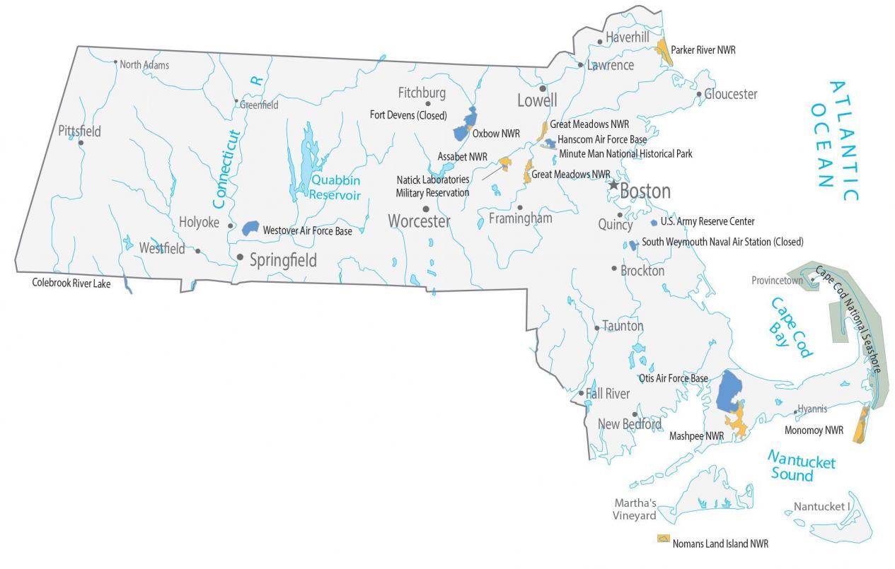
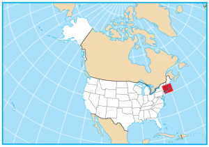
Massachusetts State Map – Places and Landmarks
About the map
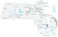
This map shows major landmarks in the state of Massachusetts. For example, it features wildlife refuges, historical parks, and other federal lands. Here are some of the highlights:
- Minute Man National Historical Park is like entering a time capsule back to 1775 during the American Revolution.
- Cape Cod National Seashore has 40 miles of sandy beaches, marshes, and ponds. It also has cultural features like lighthouses.
- Nantucket Island is an isolated island and is perfect for summer vacations and sandy beaches.
From exploring museums to sampling craft beer, don’t forget Massachusetts shorelines. Or visit Harvard University and see where the American Revolution started. Climb the John Hancock Tower for views of the city, spend a day at the beach, or check out the dunes in Provincetown.
Massachusetts map collection

You are free to use our map of Massachusetts for educational and commercial uses. Attribution is required. How to attribute?
Federal lands
National Wildlife Refuge (NWR)
Parker River NWR
Great Meadows NWR
Oxbow NWR
Assabet NWR
Nomans Land Island NWR
Mashpee NWR Monomoy NWR
Other Landmarks
Minute Man National Historical Park
Colebrook River Lake
Cape Cod National Seashore
Martha’s Vineyard
Nantucket Island
Massachusetts lakes, rivers and reservoirs
Lakes, rivers and reservoirs
Cape Cod Bay
Nantucket Sound
Connecticut River
Quabbin Reservoir
Long Island Sound
Army, naval and military
Fort Devens (Closed)
Hanscom Air Force Base
U.S. Army Reserve Center
South Weymouth Naval Air Station (Closed)
Westover Air Force Base
Otis Air Force Base
Natick Laboratories Military Reservation
Populated places
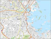
Boston
Lowell
Springfield
Worcester
Lawrence
New Bedford
Pittsfield
Taunton
Westfield
Quincy
Framingham
North Adams
Hyannis
Greenfield
Provincetown
Brockton
Fall River
Fitchburg
Gloucester
Haverhill
Holyoke
State capital
Boston