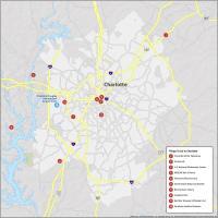
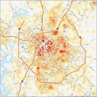
Charlotte Neighborhood Map
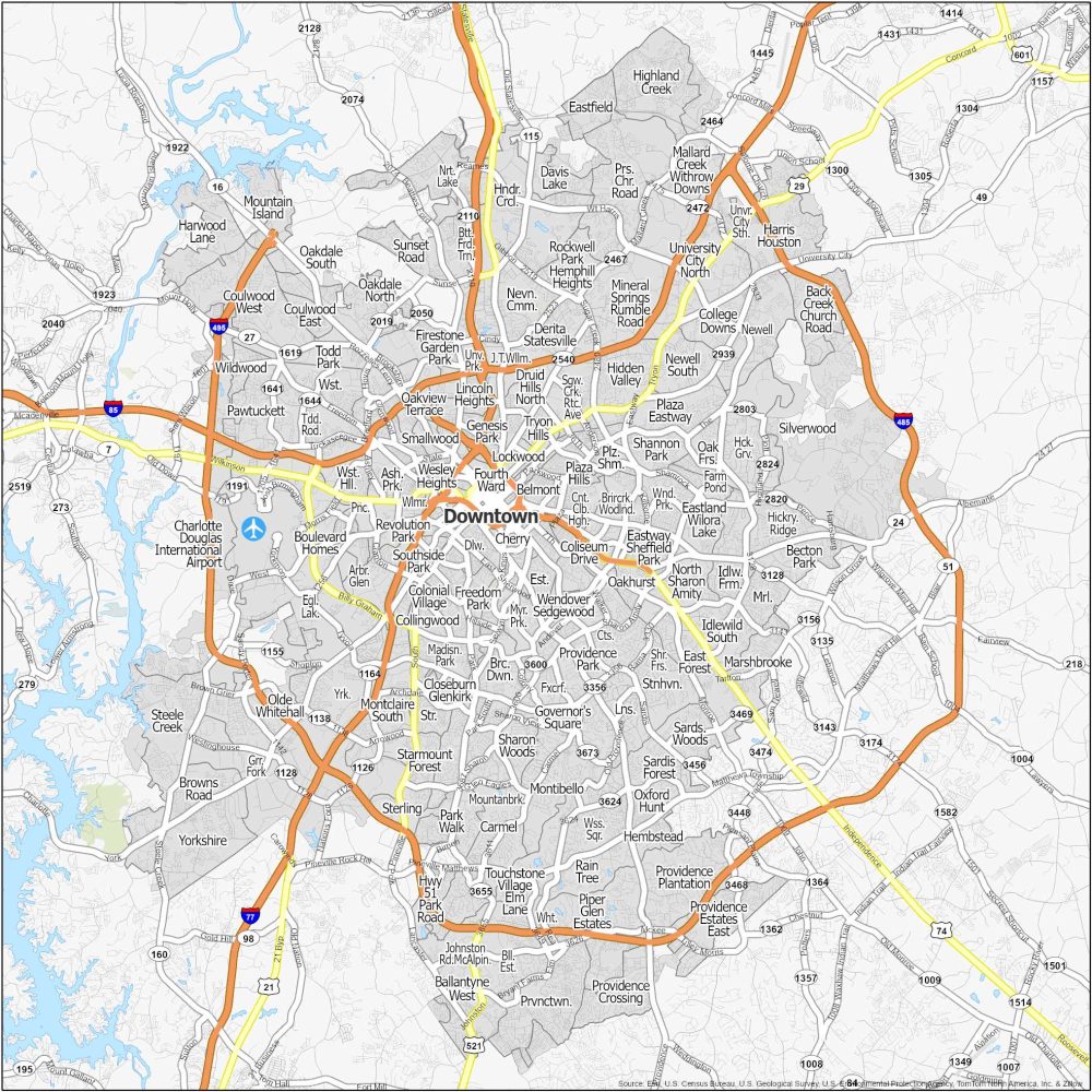
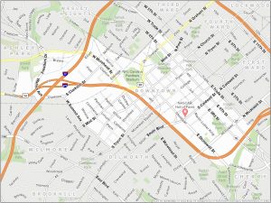
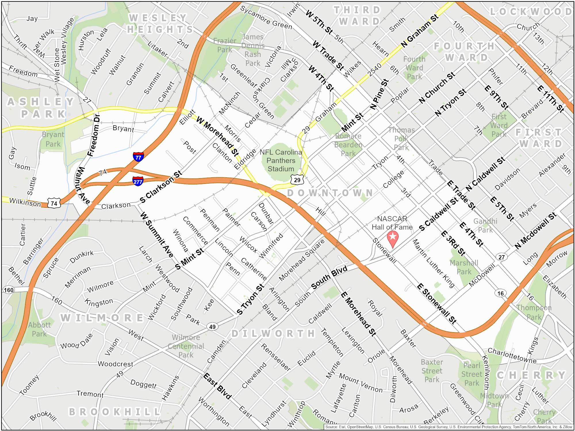
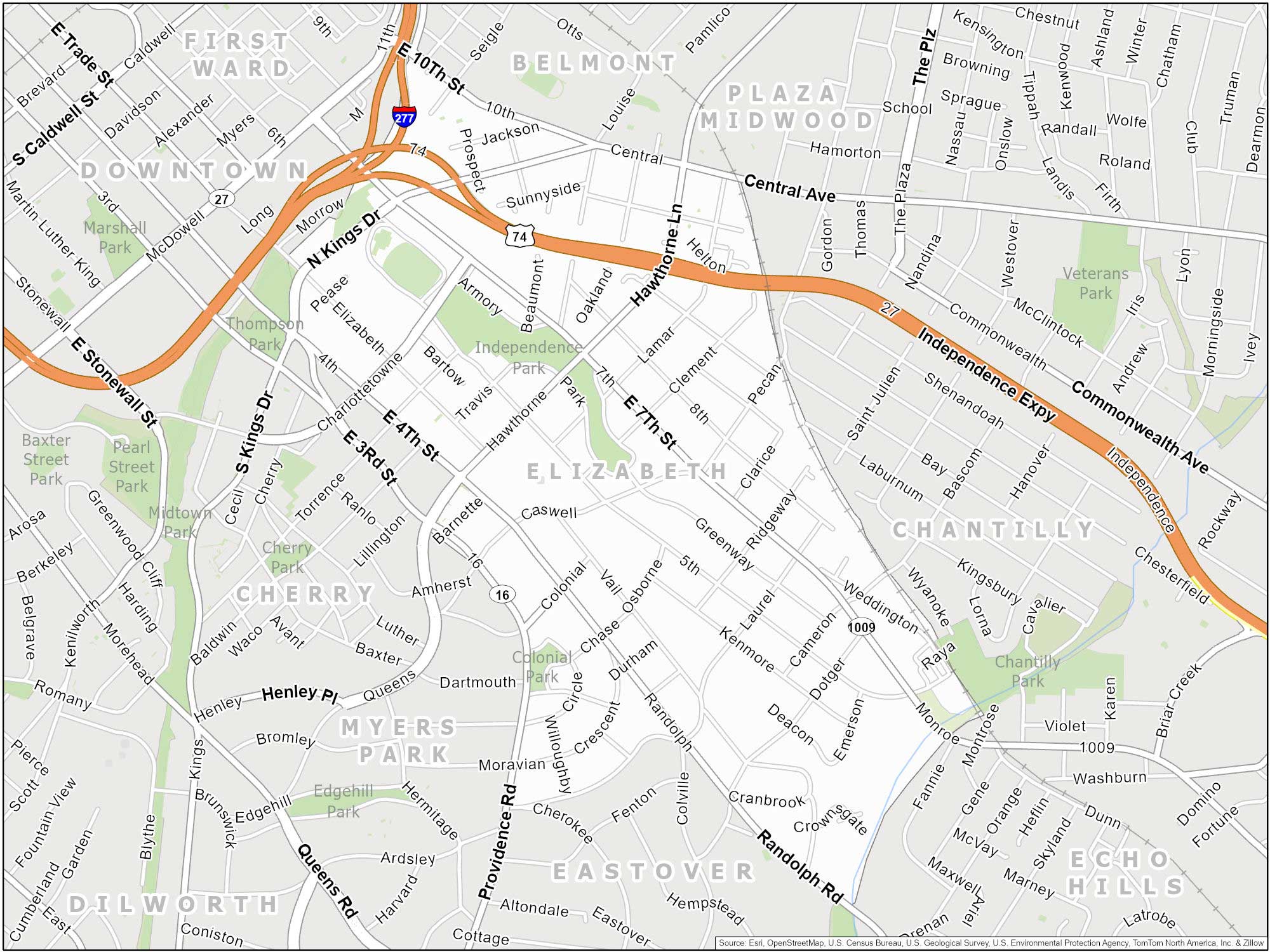
Downtown (Uptown)
I’m a bit confused with Charlotte because they also call their downtown area “Uptown”. Despite this, it’s still a major hub for business. In fact, it’s the headquarters of Bank of America. You can find the NFL’s Carolina Panthers and the NBA’s Charlotte Hornets.
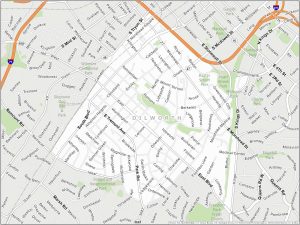
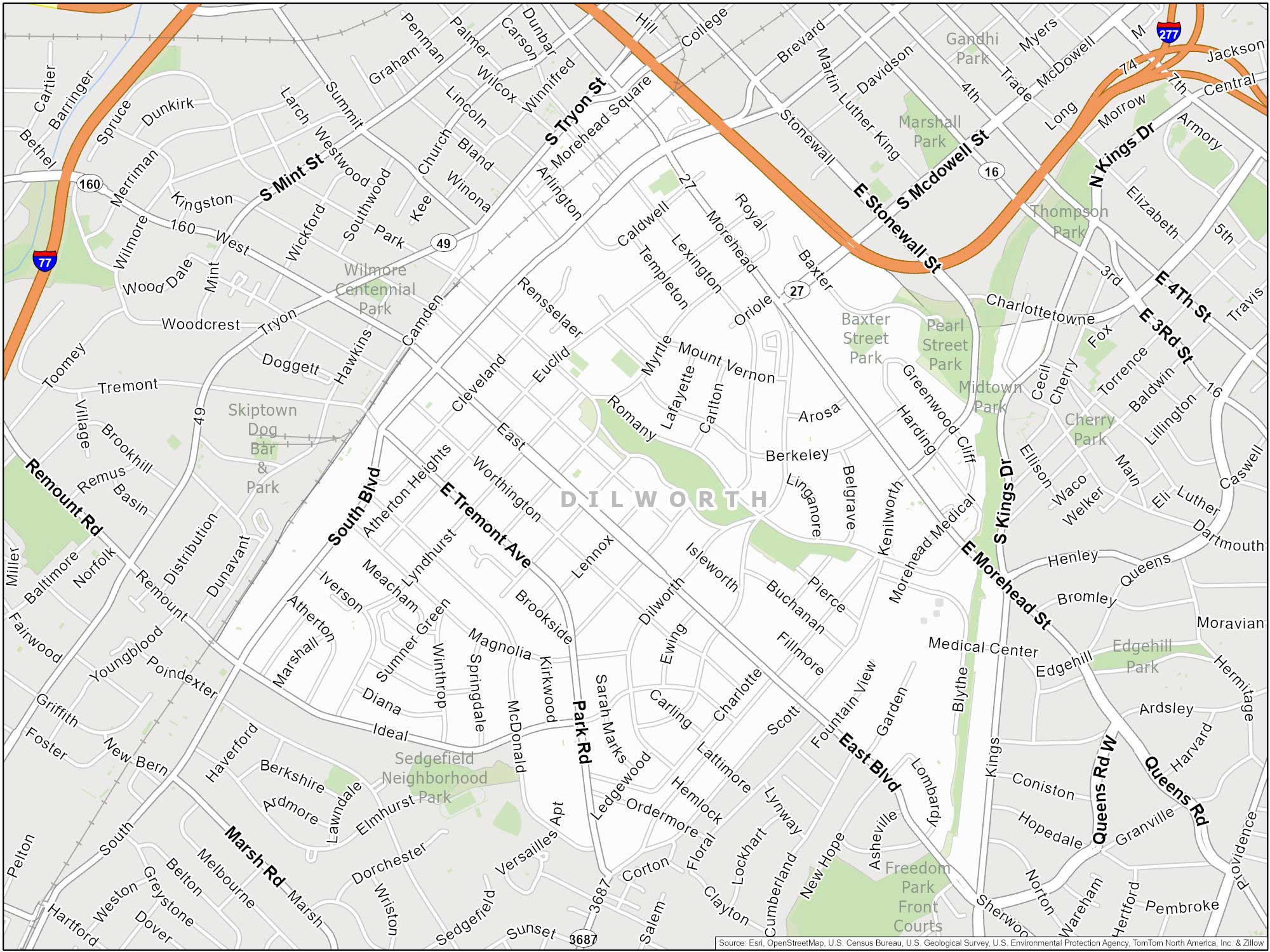
Dilworth
Dilworth is one of Charlotte’s most historic neighborhoods. It borders Uptown to the north and Myers Park to the south and east. It’s well-defined by East Boulevard. This main thoroughfare runs through the heart of the neighborhood.
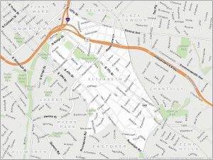
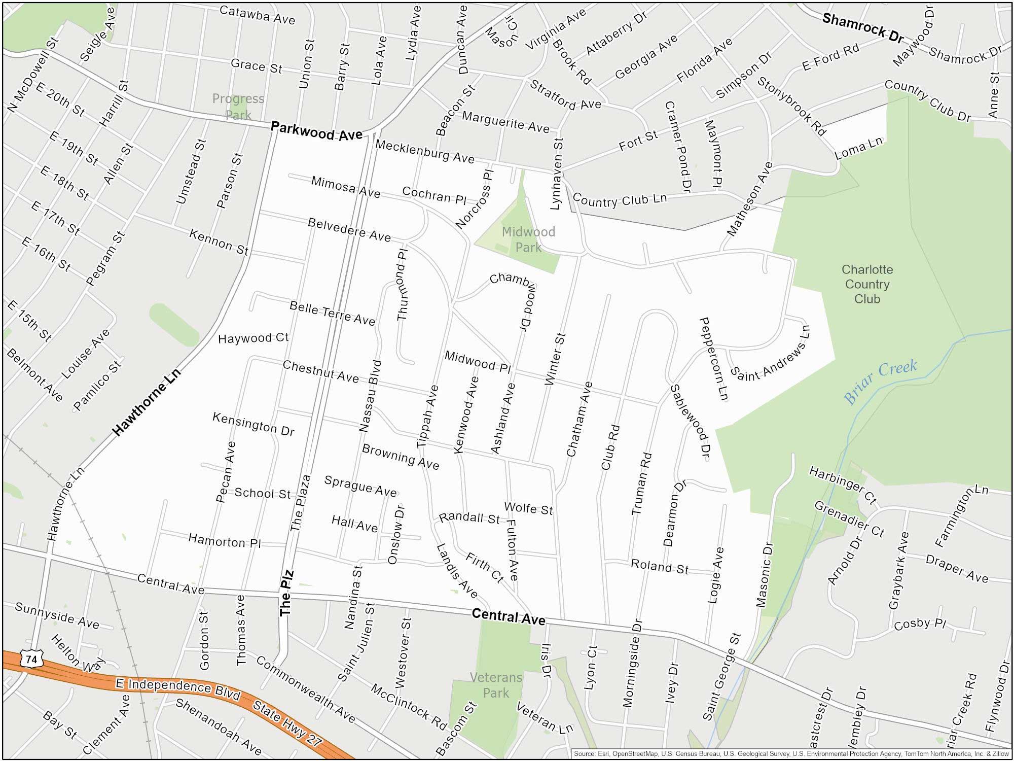
Plaza Midwood
Plaza Midwood is located just east of Uptown Charlotte. This neighborhood features several parks and green spaces. For example, Veterans Park offers sports facilities, while the nearby Little Sugar Creek Greenway provides scenic trails for walking, jogging, and biking.
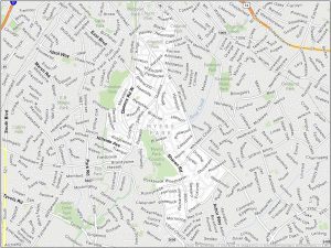
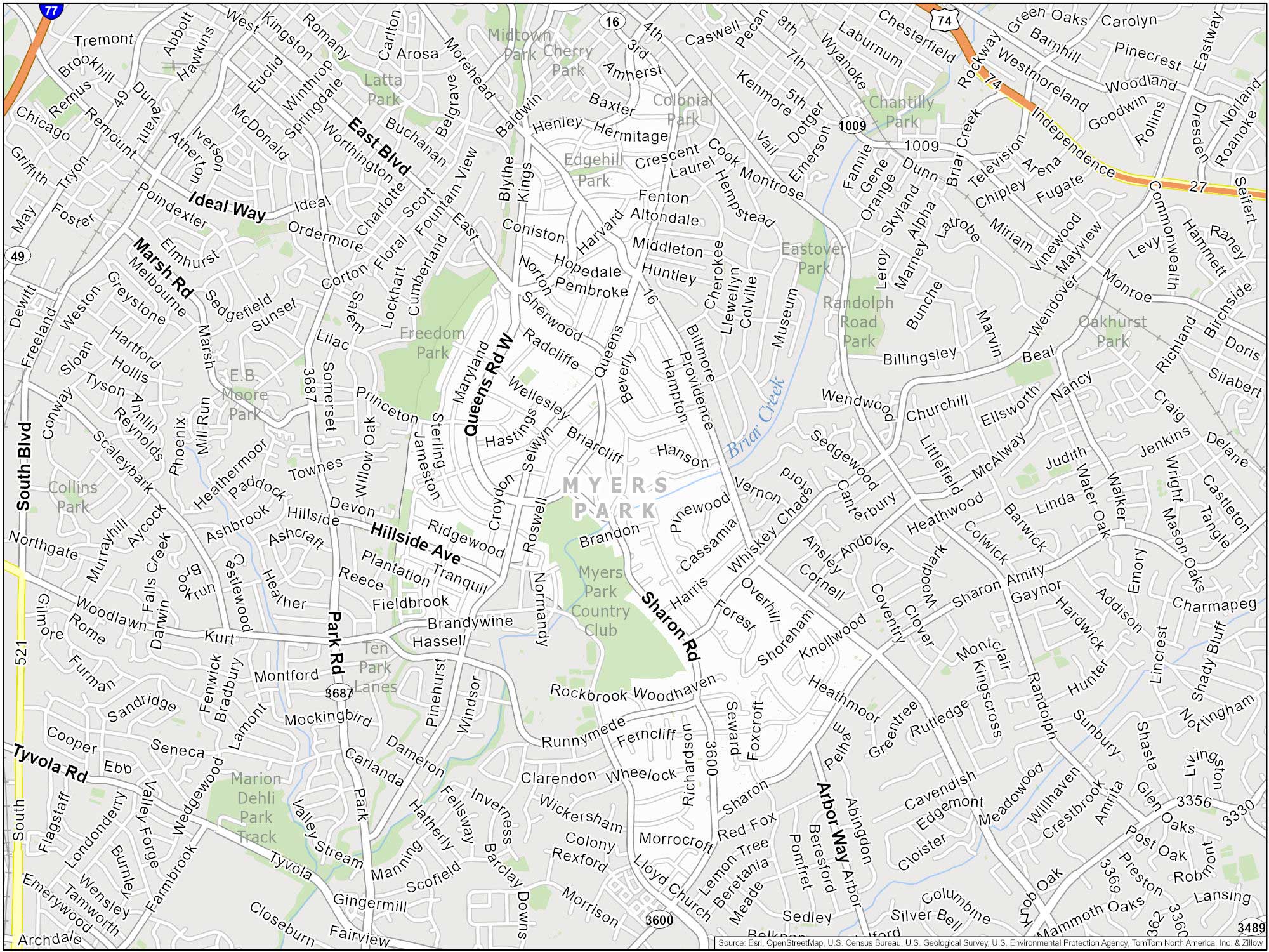
Myers Park
This upscale neighborhood is often referred to as the city’s “Garden District” because of its lushness. For instance, Myers Park is home to the Wing Haven Gardens and Bird Sanctuary. It’s also known for its proximity to Freedom Park.
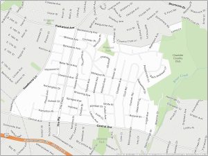
Elizabeth
Located just east of Uptown, Elizabeth is a historic neighborhood of Charlotte. It’s home to Independence Park. Come here for a quiet, small-town feel.
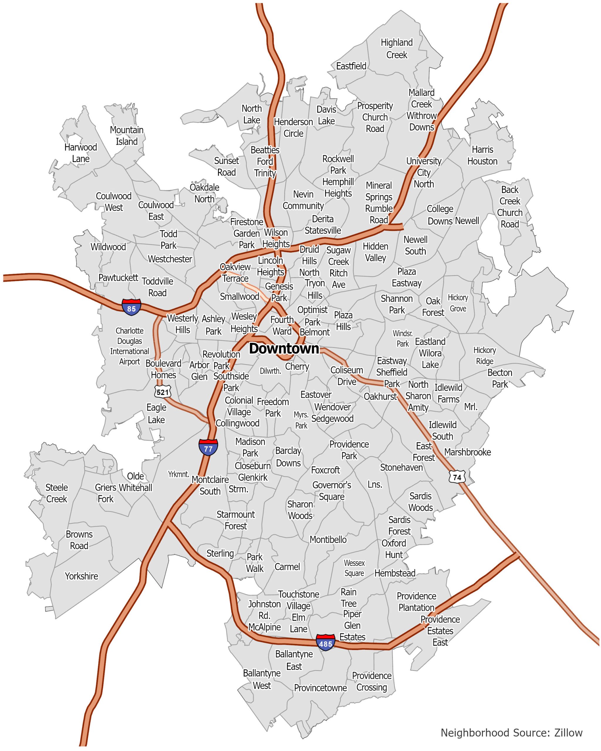
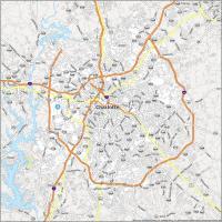
Charlotte Neighborhood Map
Click on the image to see our original Charlotte Neighborhood Map with major highways.