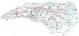
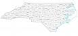
North Carolina Map – Cities and Roads

About the map
This North Carolina map contains cities, roads, rivers, and lakes. For example, Charlotte, Raleigh, and Greensboro are major cities in this map of North Carolina.
North Carolina is known for the Wright Brothers, who flew their first flight here with the first powered aircraft in 1903. It’s also the home of Pepsi with its arch-nemesis to Georgia’s Coca-Cola. From exploring the mountains to discovering the coast, there are lots of highlights to explore in the Tar Heel State.
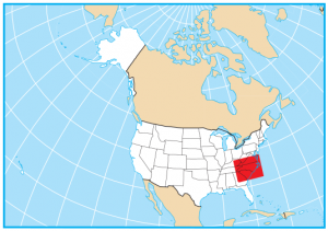
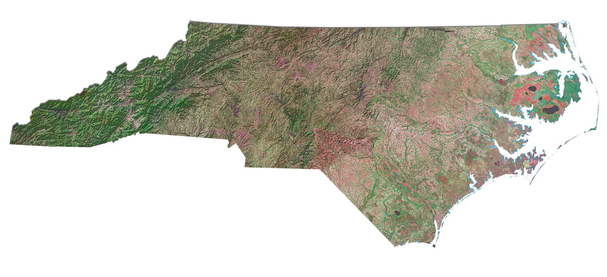
The Appalachian Mountains are in the west. Whereas the Piedmont Plateau is situated in the center of the state. Finally, the Atlantic Coastal Plain lies in the east. North Carolina borders Virginia, Tennessee, Georgia, and South Carolina. Geographically, North Carolina is on the east coast along the coast of the Atlantic Ocean.
North Carolina map collection
You are free to use our map of North Carolina for educational and commercial uses. Attribution is required. How to attribute?
State capital
Raleigh
Major cities and towns
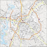
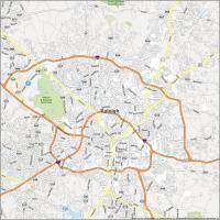
Charlotte
Raleigh
Greensboro
Fayetteville
Durham
Winston-Salem
Asheville
Burlington
Cary
Chapel Hill
Concord
Gastonia
Goldsboro
Greenville
Hickory
High Point
Jacksonville
Kannapolis
Rocky Mount
Salisbury
Wilmington
Wilson
Monroe
Albemarle
Asheboro
Boone
Clinton
Dunn
Edenton
Elizabeth City
Forest City
Franklin
Henderson
Hendersonville
Kinston
Laurinburg
Lenoir
Lexington
Lumberton
Manteo
Morehead City
Mount Airy
Murphy
Nags Head
New Bern
Oxford
Reidsville
Roanoke Rapids
Rockingham
Roxboro
Sanford
Shelby
Smithfield
Southern Pines
Statesville
Tarboro
Washington
Waynesville
Whiteville
Williamston
Atlantic
Interstate highways
Interstate-26 (I-26)
Interstate-40 (I-40)
Interstate-73 (I-73)
Interstate-74 (I-74)
Interstate-77 (I-77)
Interstate-85 (I-85)
Interstate-95 (I-95)
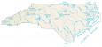
Lakes, rivers and creeks
Catawba River
Cape Fear River
John H Kerr Reservoir
Tar River
Pee Dee River
Pamlico Sound
Onslow Bay
Long Bay
Atlantic Ocean
Chesapeake Bay
Albemarle Sound
Dismal Swamp
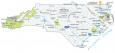
Landmarks in North Carolina
Blue Ridge
Great Smoky Mountains
Mount Mitchell
Cape Fear
Cape Lookout
Cape Hatteras
How do I get a real state map of nc.
Feel free to print this one off
how do I order a state map with roads, towns and attractions?
What do you mean by that? Do you want to know the best attractions or most used roads?