Denver Crime Map
This Denver crime map will get you up-to-speed on all the hot and cold spots of crime in the “Mile High City” to learn about overall safety.
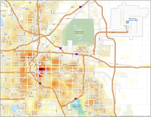
This Denver crime map will get you up-to-speed on all the hot and cold spots of crime in the “Mile High City” to learn about overall safety.
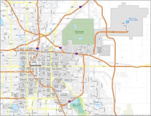
This Denver neighborhood map will guide you through the diverse communities that make “The Mile High City” such a beloved destination.
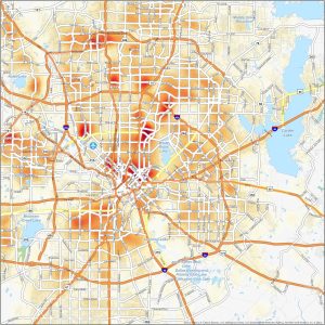
Howdy and welcome to our Dallas crime map. This is your trusty guide for keeping an eye on the crime scene in the Big D on a heat map.
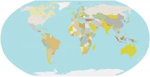
Download our free blank world map and use it for any purpose. It comes in two different versions (1) multi-color and (2) single-color.

Trying to spot a UFO? Our list of 7 UFO sighting maps allows you to explore extraterrestrial encounters with unique cosmic cartography.
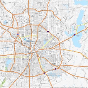
Learn about Big D’s areas of the city with this Dallas neighborhood map including the growing Downtown area and lively Arts District.
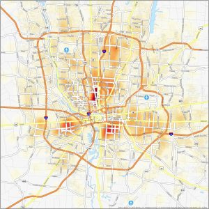
Our Columbus crime map highlights hot and cold spots, which sheds light on areas that have historically faced higher crime rates.
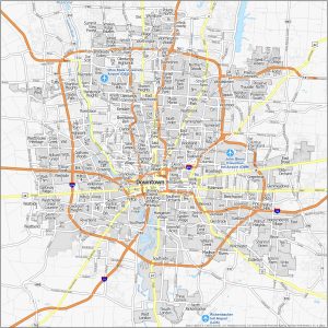
Whether you’re seeking an urban atmosphere, family-friendly suburbs, or eclectic cultural enclaves, download our Columbus neighborhood map.
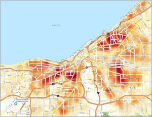
We’ve created this Cleveland crime map to show hot and cold spots of safety in the city to stay informed and take necessary precautions.
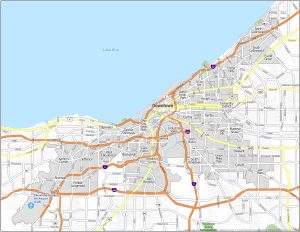
From the downtown district to the historic Tremont and University Circle, explore the city with this Cleveland neighborhood map.