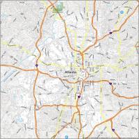
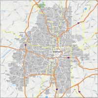
Atlanta Crime Map
Atlanta Crime Map Neighborhoods
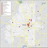
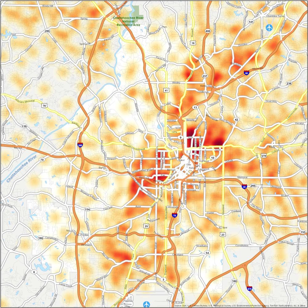
Our crime map displays crime data across the different neighborhoods in Atlanta. It uses a heat map with crime incident points to highlight safe and dangerous areas of the city. Here is a table with higher rates of crime.
| Neighborhood | Location | Types of Crimes |
|---|---|---|
| English Avenue and Vine City | Northwest Atlanta, near Mercedes-Benz Stadium | Known for violent crimes, including shootings and assaults. |
| Adamsville | Southwest Atlanta in mostly a residential area | Property crimes and violent crime incidents in a low-income area of the city. |
| Grove Park | West Atlanta. Near Westside Reservoir Park | Notable for property crimes and some incidents of violence. |
| Mechanicsville | Southwest Atlanta is mostly a residential area | Most dangerous neighborhood in ATL with higher rates of shootings and all types of crime. |