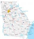
Map of Georgia – Cities and Roads

About the map
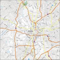
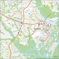
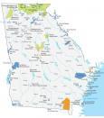
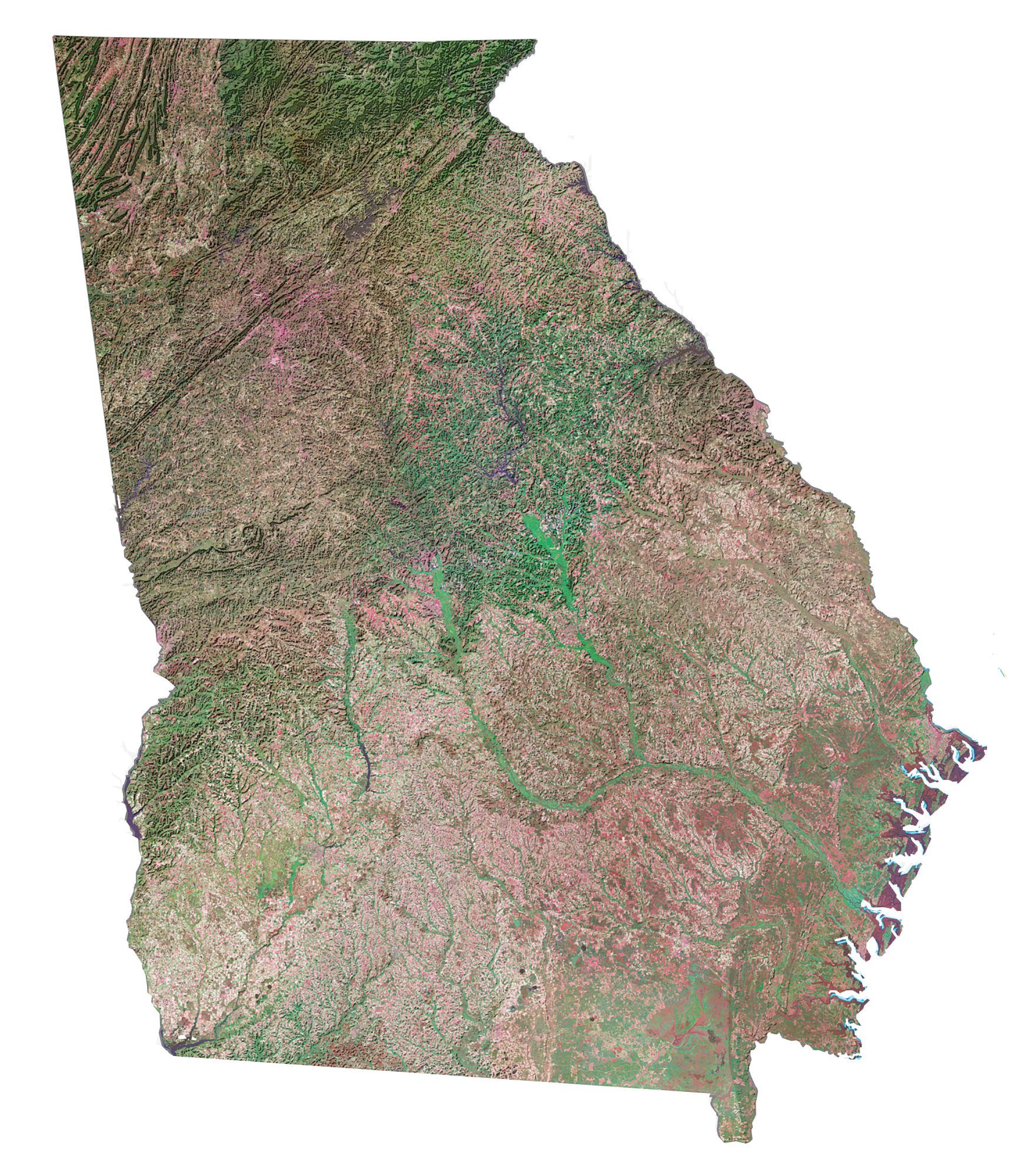
This map of Georgia contains cities, roads, rivers, and lakes. For example, Atlanta, Augusta, and Savannah are some of the major cities shown on this map of Georgia.
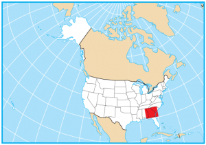
Georgia is situated in the southeast of the United States. It borders Alabama, Tennessee, South Carolina, and Florida. It’s a mix of agriculture, mountains, and coastal beaches, especially along the North Atlantic Ocean.
Georgia is nicknamed the “Peach State” because of their well-recognized Georgia-grown peaches. But they’re also home to Coca-Cola, boiled peanuts, and the busiest airport in the USA (Hartsfield–Jackson Atlanta International Airport). Another stereotype for Georgia is that they are famous for their Miss Georgia beauty pageant.
Georgia map collection
You are free to use our map of Georgia for educational and commercial uses. Attribution is required. How to attribute?
State capital
Atlanta
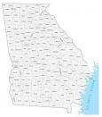
Major cities and towns
Atlanta
Savannah
Columbus
Athens
Augusta
Albany
East Point
Hinesville
La Grange
Marietta
Rome
Roswell
Smyrna
Valdosta
Warner Robins
Martinez
Macon
Gainesville
Dalton
Peachtree City
Alpharetta
Interstate highways
Interstate-16 (I-16)
Interstate-20 (I-20)
Interstate-59 (I-59)
Interstate-75 (I-75)
Interstate-85 (I-85)
Interstate-95 (I-95)
Landmarks in Georgia
Islands
Cumberland Isl
St Simons Isl
Sapelo Isl
St Catherines Isl
Ossabaw Isl
Tybee Isl
Mountains
*Brasstown Bald is the highest peak in Georgia.
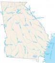
Lakes, rivers, and creeks
Atlantic Ocean
Savannah River
Walter F George
Lake Weiss
Chattahoochee River
Russell Lake
Lake Strom Thurmond
West Point Lake
Lake Seminole
Ocmulgee River
Altamaha River
Ogeechee River
Oconee River
Flint River
Hartwell Lake
Lake Lanier
St Andrew Sound
Okefenokee Swamp
Populated places in Georgia
Alma
Americus
Bainbridge
Blakely
Bremen
Brunswick
Cairo
Calhoun
Carrollton
Cartersville
Cedartown
Covington
Dawson
Douglas
Dublin Fort Valley
Griffin
Homerville
Jesup
Milledgeville
Moultrie
Newnan
Perry
Sandersville
Statesboro
Swainsboro
Sylvania
Thomasville
Tifton
Toccoa
Waycross
Waynesboro
McRae
Vidalia
Eatonton
Cordele
Monroe
Kingsland