Badlands National Park Map
About the map
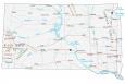
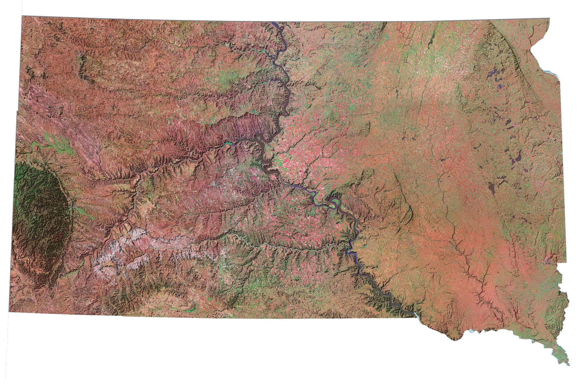
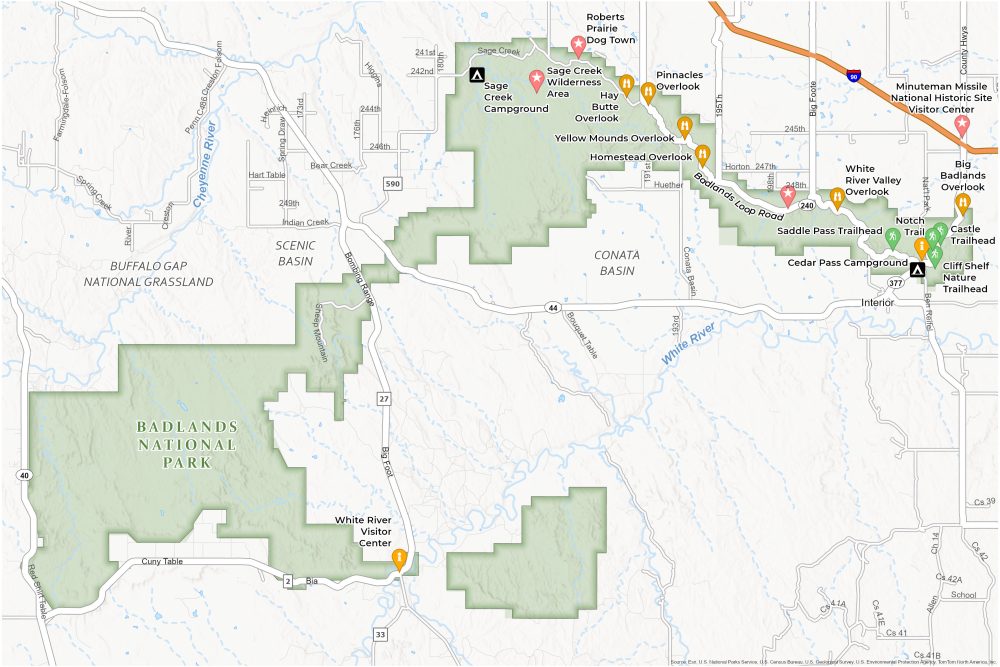
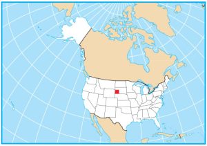
Step into the ruggedness of Badlands National Park in South Dakota. This Badlands National Park map is your guide through a landscape where towering spires and deep canyons tell a story millions of years in the making.
This map marks key attractions like the Pinnacles Overlook and the Notch Trail. For those seeking to stay overnight, the map shows the locations of the Cedar Pass Campground and the Sage Creek Primitive Campground. Each offers a different way to experience the park under the stars.
We highlight visitor centers like the Ben Reifel Visitor Center as essential stops to explore the park’s rich fossil history. Download our Badlands National Park Map today if you’re exploring the rugged trails, driving the scenic byways, or enjoying the sunset over the Badlands’ unique landscape.
You are free to use our Badlands National Park map for educational and commercial uses. Attribution is required. How to attribute?
Top Things to Do
Check out our top recommendations for things to do at Arches National Park.
- Badlands Loop Road: Scenic drive offering panoramic views of unique, rugged landscapes and wildlife.
- Pinnacles Overlook: Majestic viewpoint for sunsets and striking geological formations.
- Roberts Prairie Dog Town: Unique opportunity to observe prairie dog colonies in their natural habitat.
- Yellow Mounds Overlook: Colorful mounds showcasing geological history and striking landscape contrasts.
- Sage Creek Wilderness Area: Remote area for wildlife viewing, including bison and bighorn sheep.
- Big Badlands Overlook: Scenic vista offering panoramic views of Badlands’ rugged, layered rock formations.
- Hay Butte Overlook: Elevated spot for observing Hay Butte’s unique geological features.
- Saddle Pass Trail: Steep, challenging trail providing access to Badlands’ backcountry and diverse terrain.
- Cliff Shelf Nature Trail: A gentle loop through mixed-grass prairie and ponderosa pine.
- Homestead Overlook: Historic viewpoint overlooking Badlands, showcasing homesteader history amidst vast, natural beauty.
Visitor Centers
Badlands National Park has two primary visitor centers:
Ben Reifel Visitor Center
White River Visitor Center
Campgrounds
Cedar Pass Campground
Sage Creek Campground
Landforms and Places
Conata Basin
Scenic Basin
Cheyenne River
White River
Buffalo Gap National Grassland
Trails
Saddle Pass Trail
Notch Trail
Castle Trail
Cliff Shelf Nature Trail
Highways and Roads
Badlands Loop Road
Sage Creek Rim Road
Highway 44
Conata Road
Bombing Range Rd
SD Hwy 27
Sheep Mountain Road
South Dakota Highway 40
Other Attractions
Minuteman Missile National Historic Site Visitor Center
Hay Butte Overlook
White River Valley Overlook
References
- Badlands National Park (NPS)
- USGS Badlands National Park Map
- Topographic Maps of Badlands N.P. (USGS)