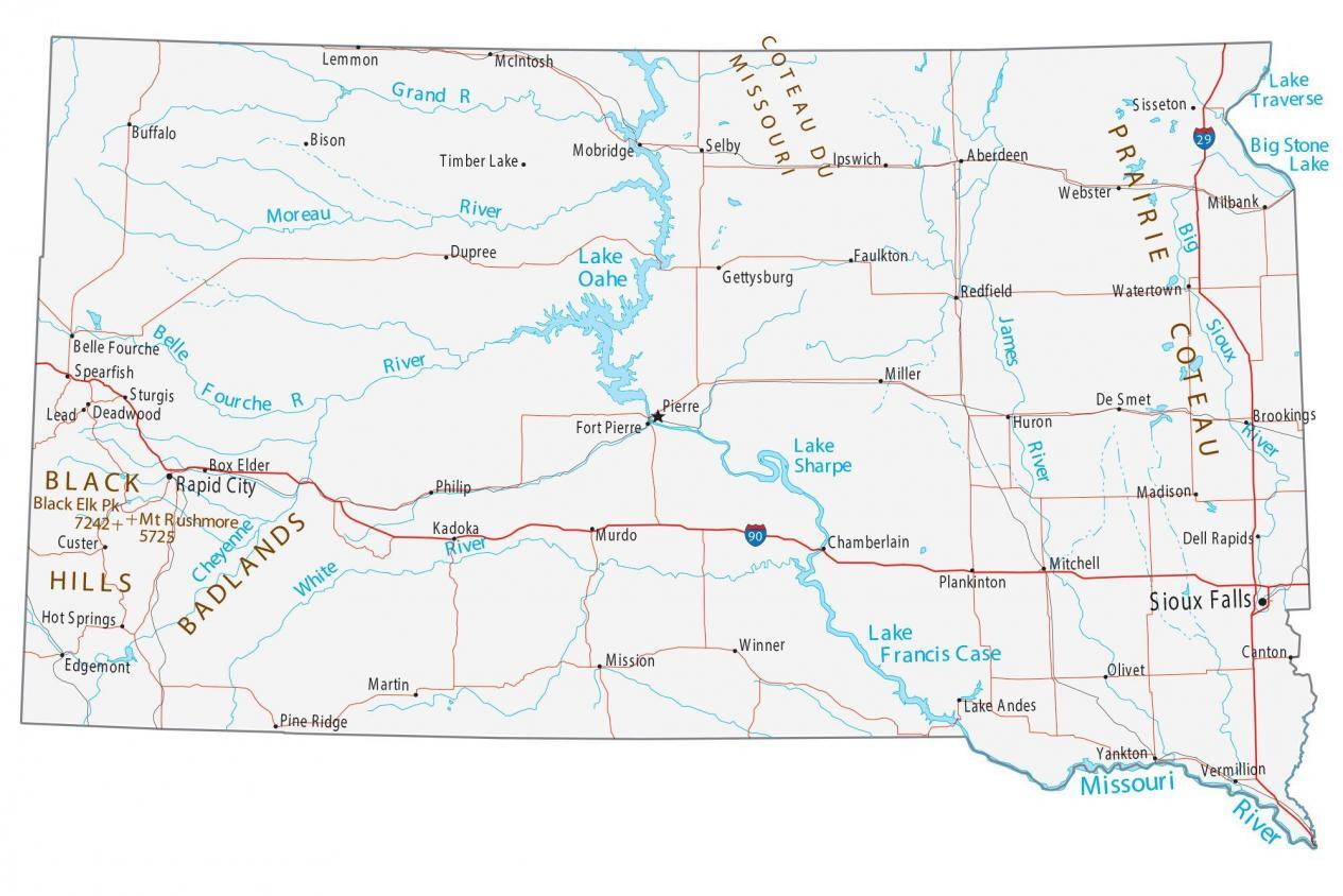
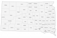
Map of South Dakota – Cities and Roads
About the map
This South Dakota map contains cities, roads, rivers, and lakes. For example, Sioux Falls, Rapid City, and Pierre are major cities on this map of South Dakota.
South Dakota is home to the iconic presidential landmark, Mount Rushmore. If you even plan to visit, there are tons of attractions like the Badlands, the Devil’s Tower, and more. And don’t forget that currently, South Dakota is working on the largest monument in the world called the “Crazy Horse Monument” because of their sizable native community, mostly the Sioux.
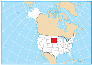
South Dakota is located in the north-central region of the United States. It borders six other states including North Dakota, Montana, Wyoming, Nebraska, Iowa, and Minnesota. The state also has one of the largest percentages of indigenous peoples of any state in the United States.
South Dakota map collection
You are free to use our map of South Dakota for educational and commercial uses. Attribution is required. How to attribute?
State capital
Pierre
Major cities and towns
Sioux Falls
Rapid City
Pierre
Belle Fourche
Selby
Madison
Milbank
Pine Ridge
Aberdeen
Box Elder
Kadoka Murdo
Plankinton
Olivet
Canton
Dell Rapids
De Smet
Miller
Faulkton
Timber Lake
Ipswich
Bison
Brookings
Buffalo
Chamberlain
Custer
Deadwood
Dupree
Edgemont
Fort Pierre
Gettysburg
Hot Springs
Huron
Lake Andes
Lead
Lemmon
Martin
McIntosh
Mission
Mitchell
Mobridge
Philip
Redfield
Sisseton
Spearfish
Sturgis
Vermillion
Watertown
Webster
Winner
Yankton
Interstate highways
Interstate-29 (I-29)
Interstate-90 (I-90)
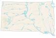
Lakes, rivers and creeks
Cheyenne River
Lake Oahe
White River
James River
Lake Sharpe
Lake Francis Case
Big Sioux River
Missouri River
Moreau River
Grand River
Lake Traverse
Big Stone Lake
Belle Fourche River
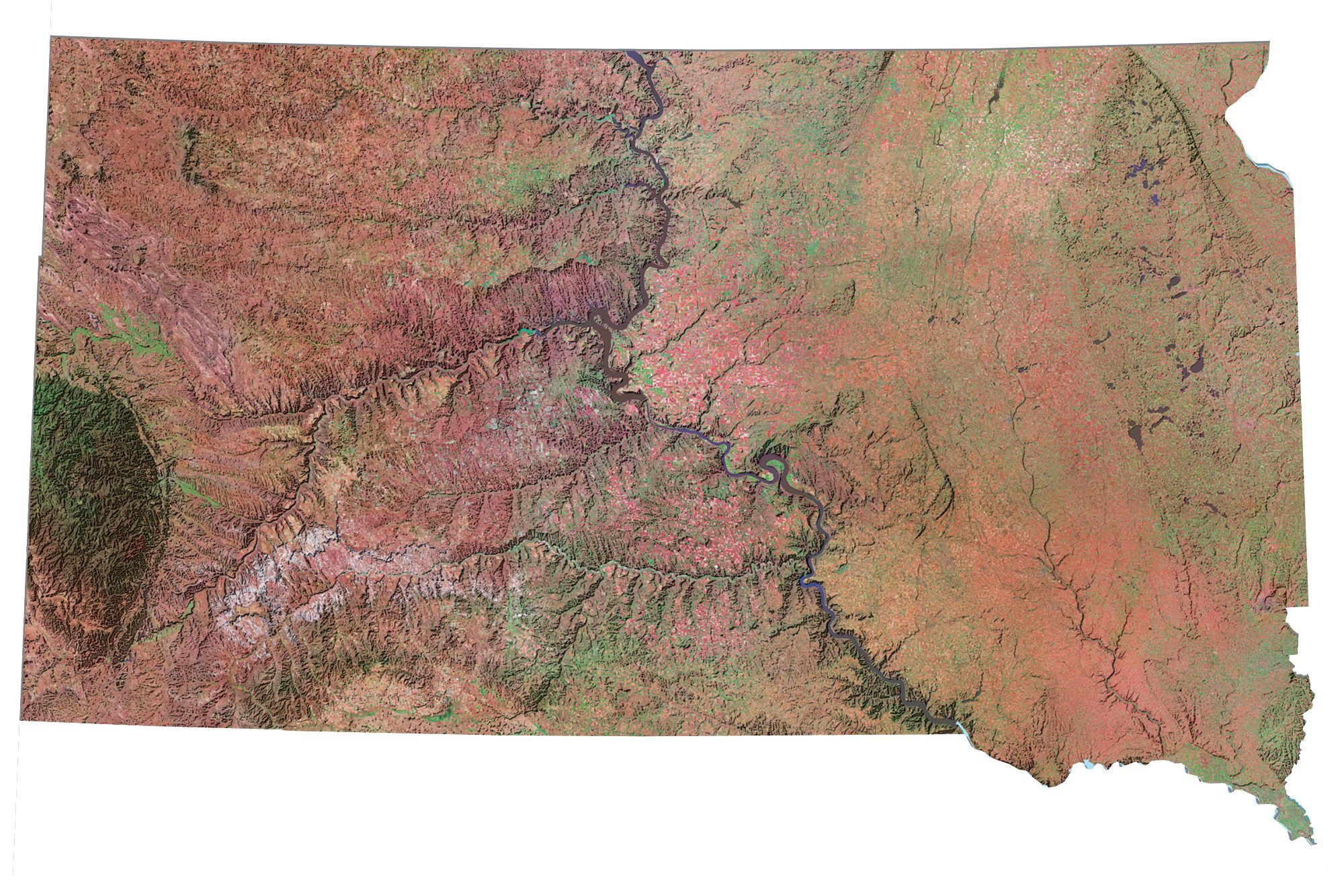
Landmarks in South Dakota
Black Hills
Badlands
Prairie Coteau
Coteau Du Missouri
Black Elk Peak (formerly Harney Peak)
Mount Rushmore
Thanks, this has been updated in the South Dakota map
“Harney Peak” is PROPERLY named “BLACK ELK” for the Lakota shaman and chief. Harney is an insult and wrong.