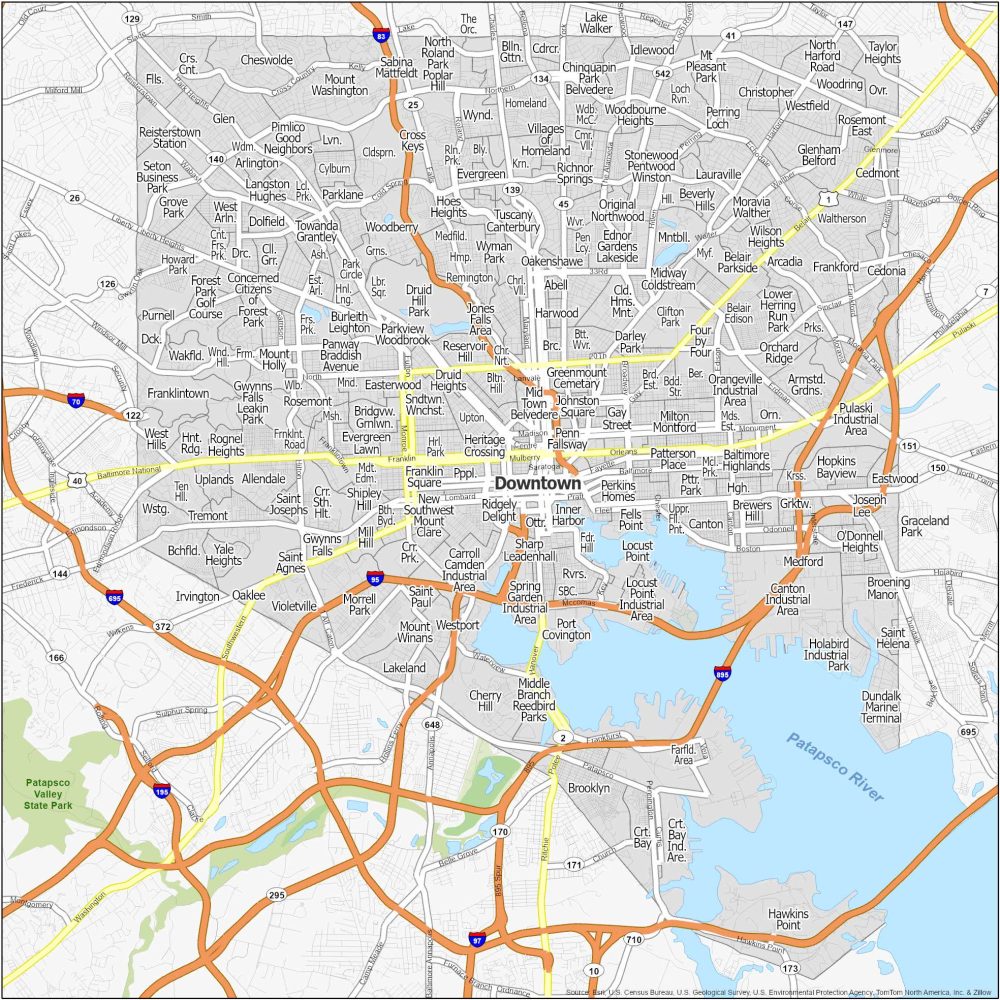
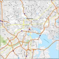
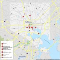
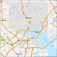
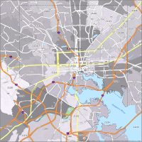
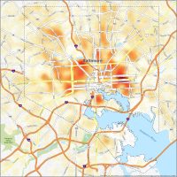
Baltimore Neighborhood Map
Neighborhoods in Baltimore
Sports are big in Baltimore. The Ravens for football. The Orioles for baseball. People here love their teams. But we’re not here to talk about sports. We’re here to talk about the neighborhoods in Baltimore.
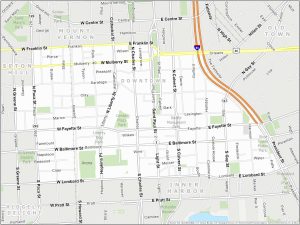
Downtown Baltimore
Downtown Baltimore is the cultural hub of Maryland’s largest city. Known for its rich maritime heritage, Downtown Baltimore is a mix of attractions, business hubs, and entertainment. This includes Fort McHenry, the site where the Star-Spangled Banner was penned during the War of 1812.
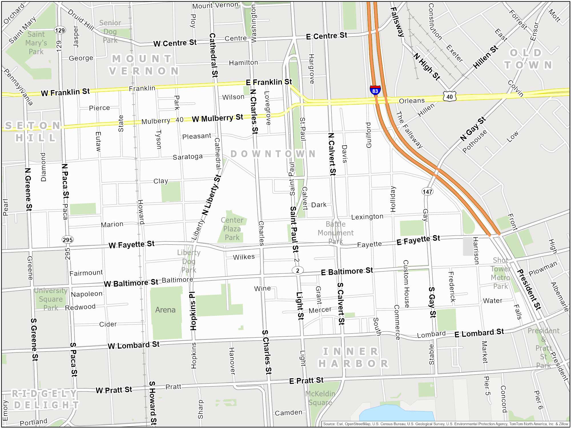
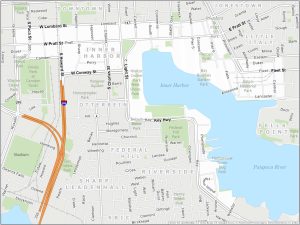
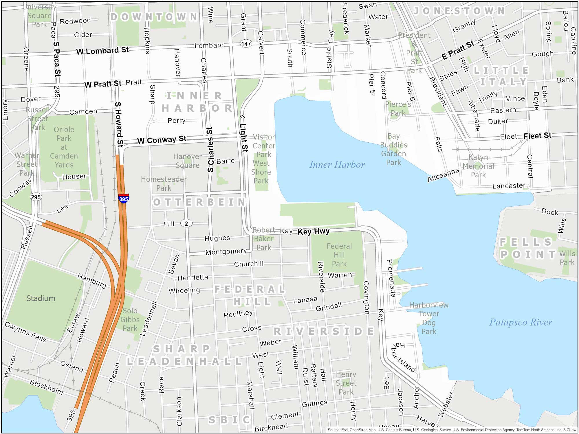
Inner Harbor
Inner Harbor is a centerpiece of Baltimore. It’s a scenic waterfront filled with lots of attractions and activities. You’ll find famous sites like the National Aquarium and the USS Constellation. Also, did you know that Inner Harbor was once the second leading port of entry for immigrants to the United States? Can you guess what was #1?
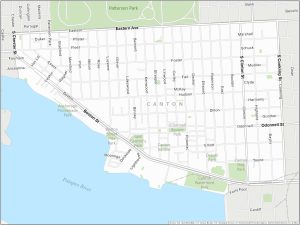
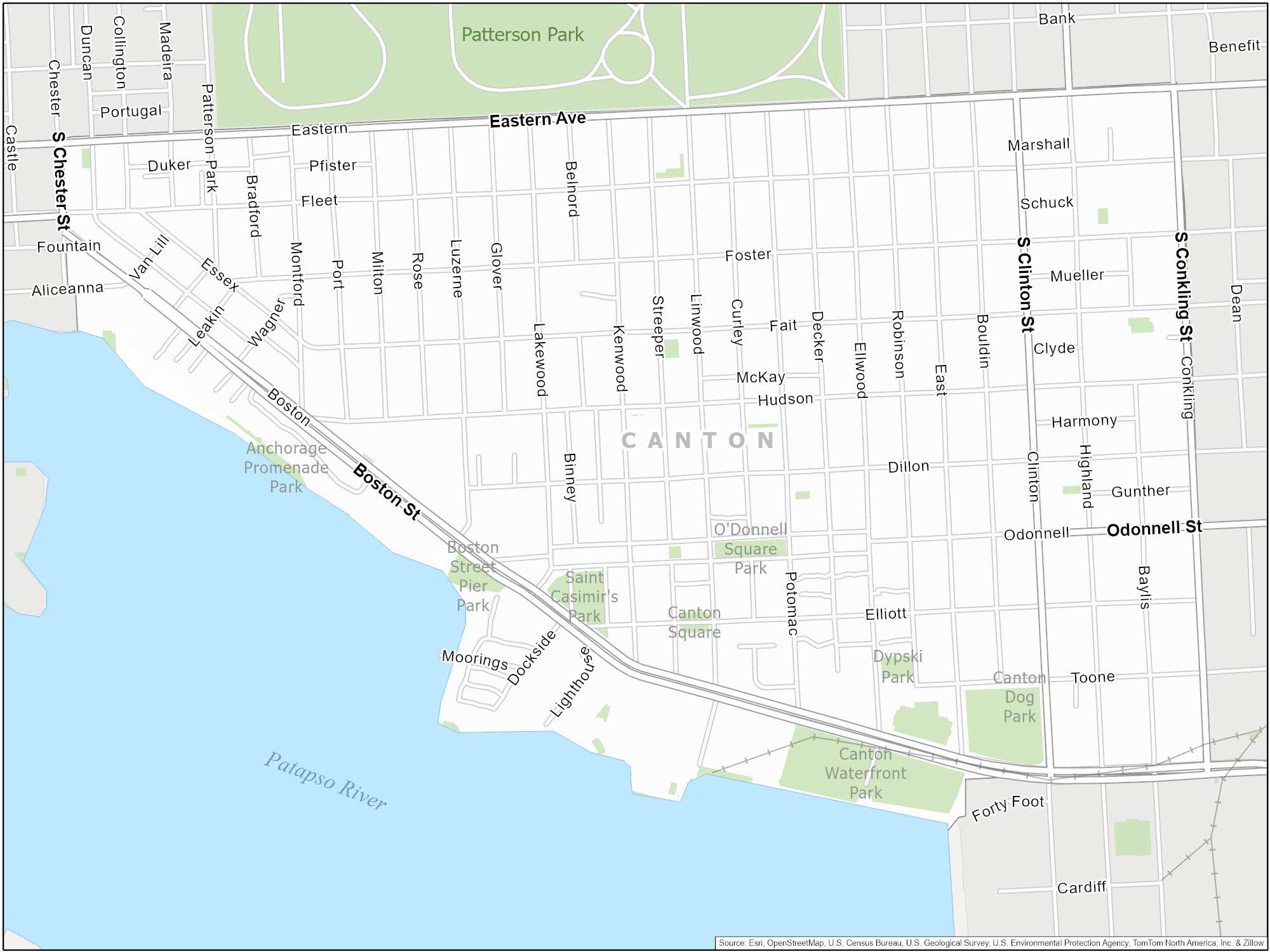
Canton
This neighborhood is famous for its waterfront and recreational activities. Canton Square is a hub for local businesses. Where nearby Patterson Park offers ample green space. It also features O’Donnell Square, a busy center filled with dining and shopping.
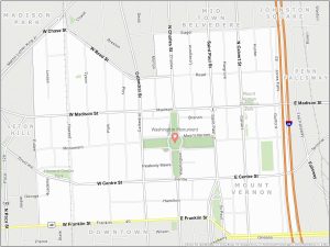
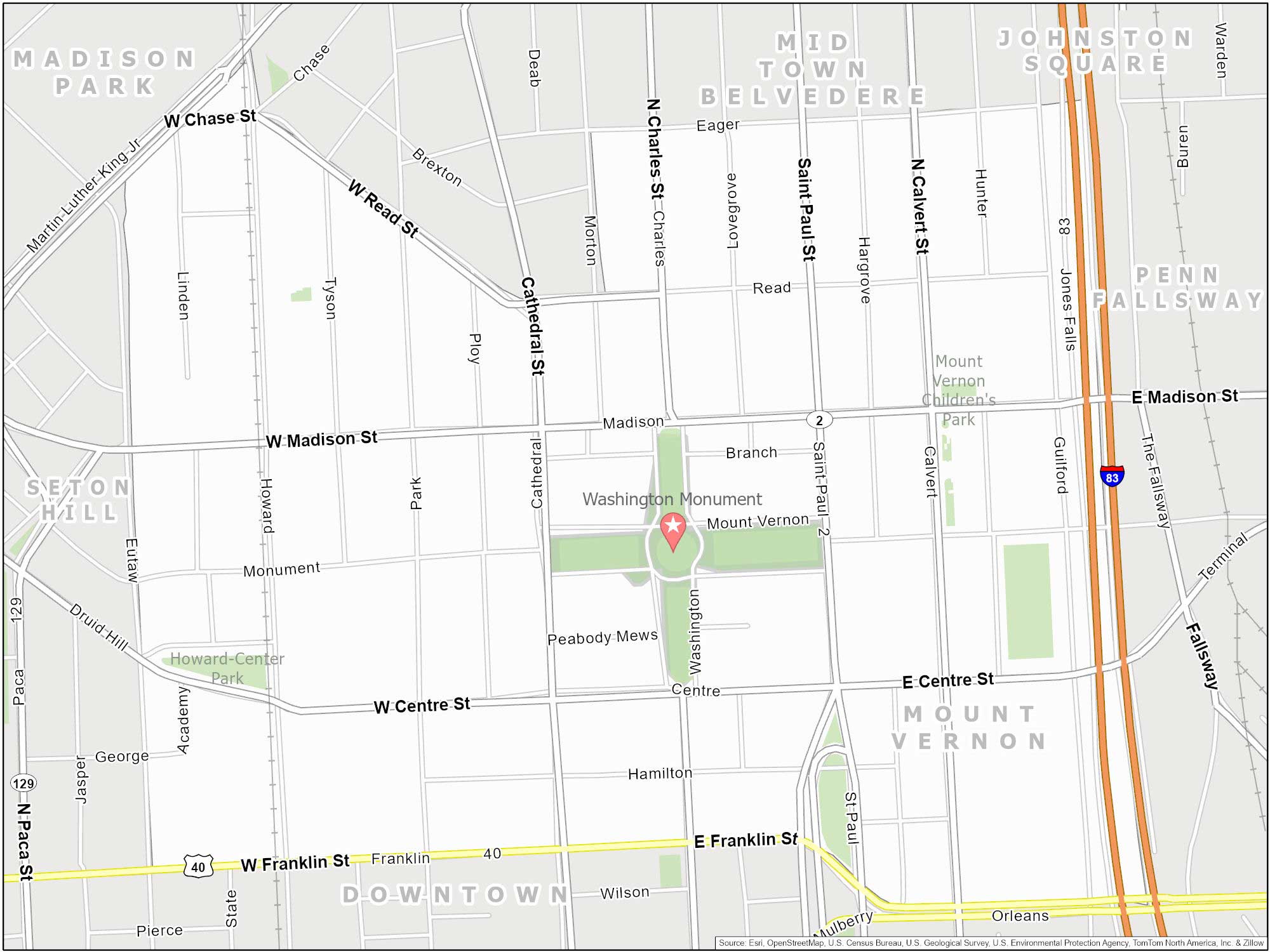
Mount Vernon
As Baltimore’s cultural center, Mount Vernon has beautiful architecture and historic landmarks. For example, you’ll find the Walters Art Museum and the Peabody Institute here. Mount Vernon is home to the first large monument to George Washington, predating the more famous one in Washington D.C.
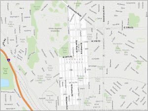
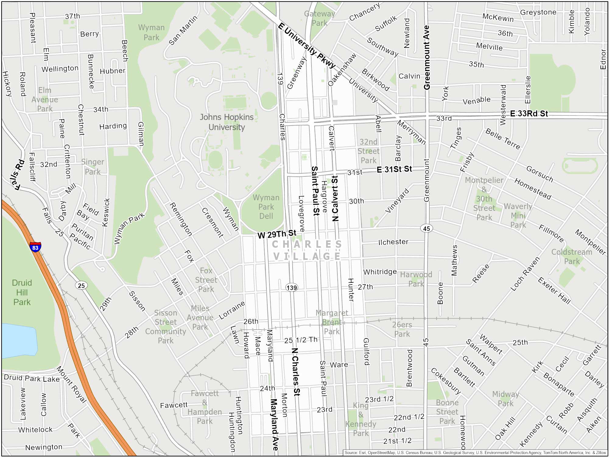
Charles Village
Located near Johns Hopkins University, Charles Village is a neighborhood with students, families, and professionals. The neighborhood has dining options, independent shops, and community events. The area also hosts the annual Charles Village Festival, a celebration with music, food, and crafts.
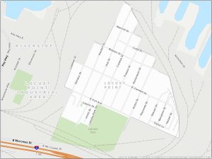
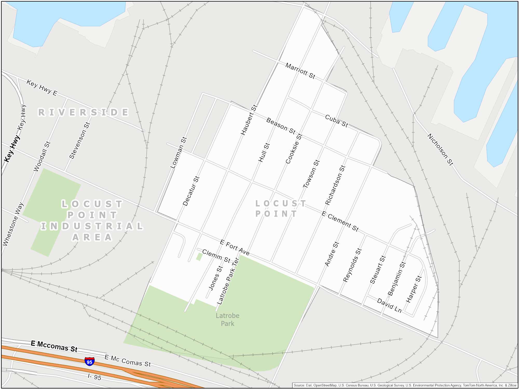
Locust Point
Situated on the southern tip of the city, Locust Point is a historic neighborhood in Baltimore. The neighborhood is home to Fort McHenry National Monument, famous for its role in the War of 1812.
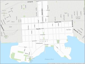
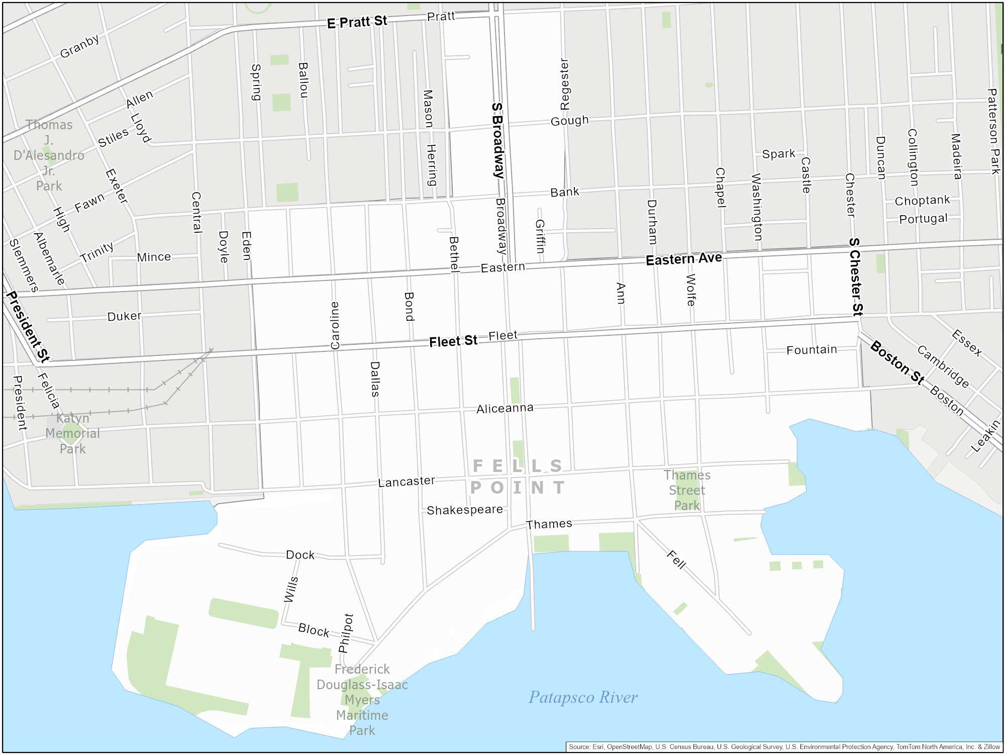
Fells Point
Situated on the waterfront, Fells Point is known for being a historic waterfront neighborhood. It hosts the popular Fells Point Fun Festival. During the 18th and 19th centuries, Fells Point was a major shipbuilding center.
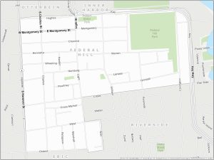
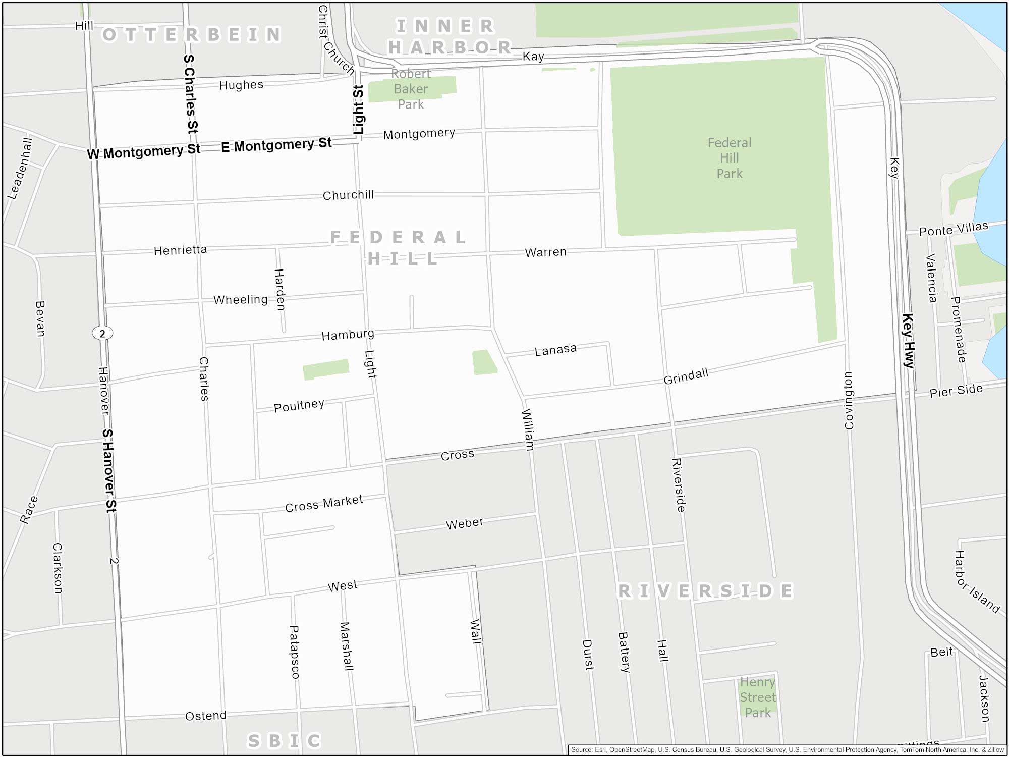
Federal Hill
Federal Hill feels like stepping back in time. It’s known for its historic rowhouses, the Cross Street Market, and the scenic 10.3-acre Federal Hill Park. Located just south of the Inner Harbor, Federal Hill has an amazing view of the Inner Harbor.
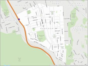
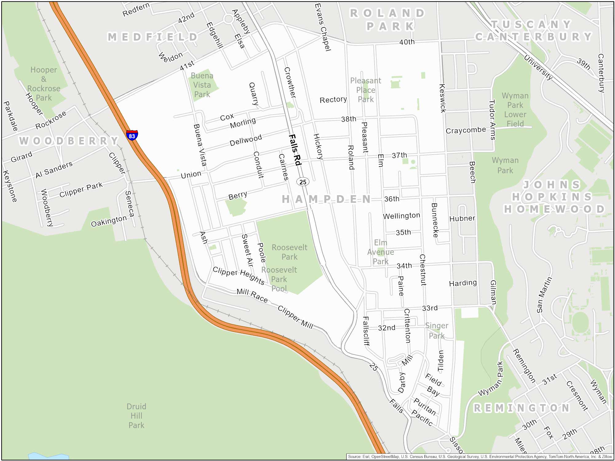
Hampden
This neighborhood in Baltimore is quirky and cool. Hampden has an annual “Miracle on 34th Street” holiday display. Every December, residents of 34th Street decorate their homes with elaborate and bright Christmas lights. This attracts visitors from all over including the annual HonFest (short for “honey”).
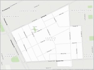
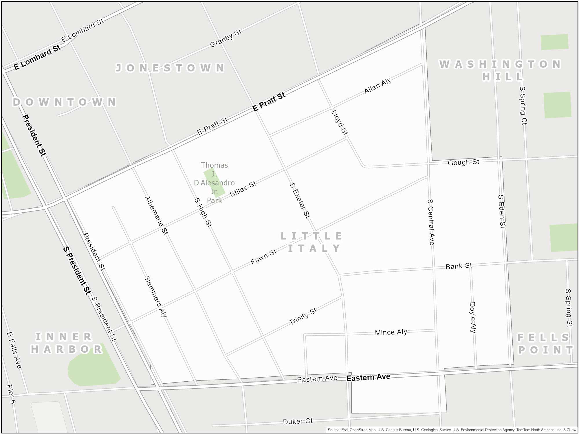
Little Italy
Little Italy in Baltimore is a cozy and welcoming neighborhood. Walking through Little Italy feels like a small piece of Italy. When walking the streets, you’ll smell the aroma of fresh Italian cooking. Annual events include the Feast of St. Gabriel and the Little Italy Film Festival.
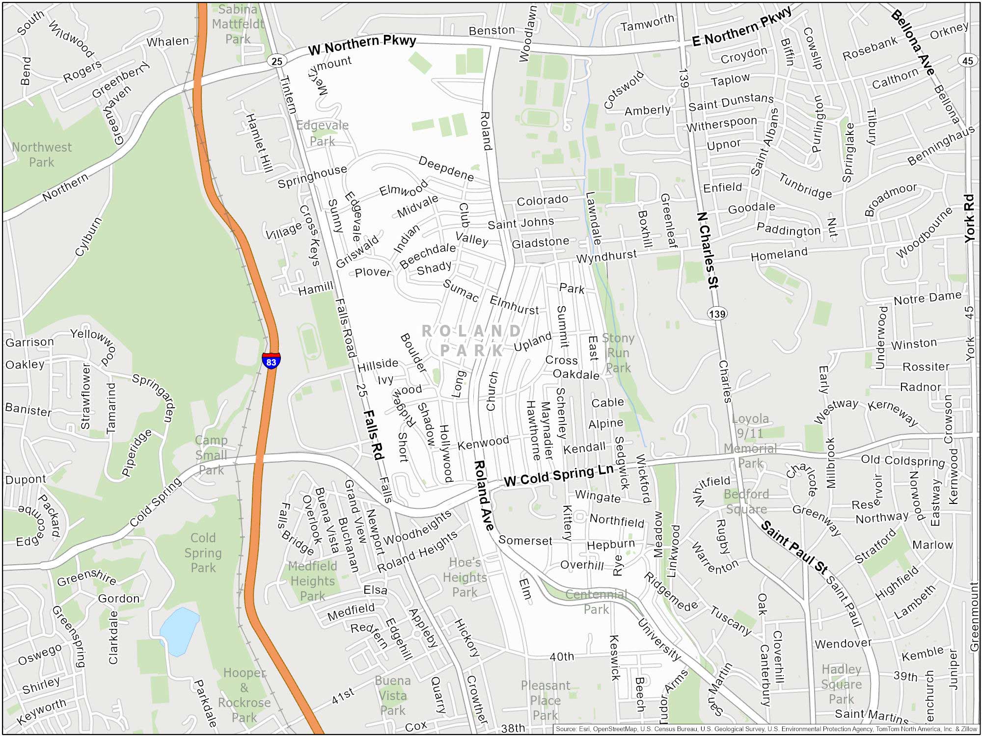
Roland Park
Known for its large homes and well-kept gardens, Roland Park has a suburban feel within the city. It’s a bit quieter than other parts of the city. For anyone who needs life at a more relaxed pace, it’s perfect as a calm part of the city.
Baltimore Neighborhood Map
Click on the image to see our original Baltimore Neighborhood Map with major highways.

