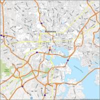
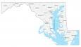
Map of Maryland – Cities and Roads

About the map
This map of Maryland contains cities, roads, rivers, and lakes. Baltimore, Columbia, and Annapolis are major cities shown in this map of Maryland.
The overall impression of Maryland is that the richest and most well-educated live here. It’s the home of Michael Phelps. People love to eat crab, crab cakes, and boiled crab.
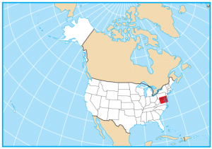
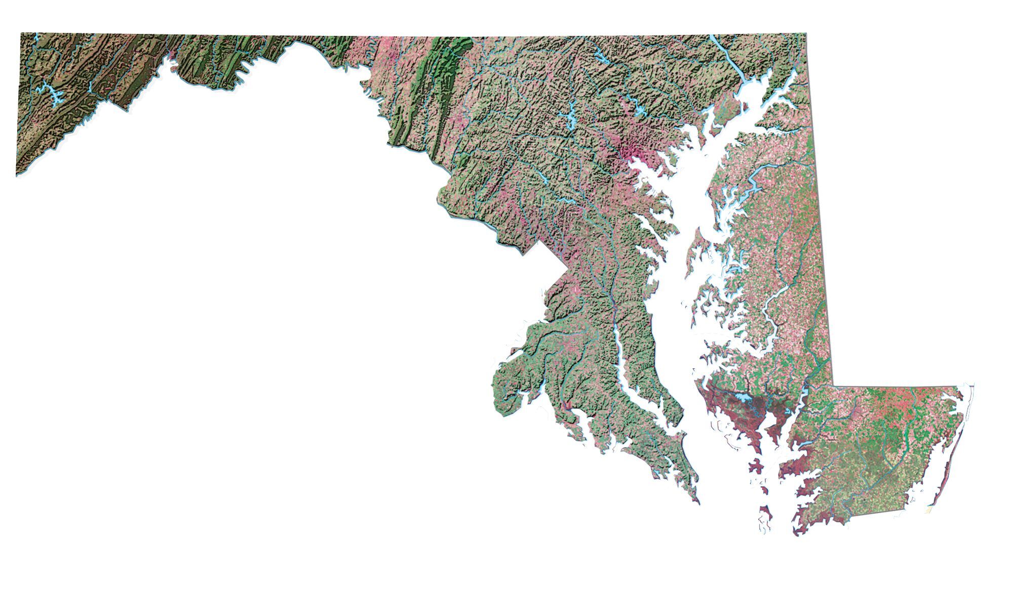
Maryland is situated in the northeast of the United States. It borders Pennsylvania, West Virginia, Virginia, and Delaware. Chesapeake Bay is a 200-mile long estuary and is an area of environmental concern for Maryland and its people. When you go to Maryland, visit its museums, the Eastern Shore, and the state’s natural wonders.
Maryland map collection
You are free to use our map of Maryland for educational and commercial uses. Attribution is required. How to attribute?
State capital
Annapolis
Major cities and towns
Baltimore
Annapolis
Frederick
Hagerstown
Rockville
St Charles
Silver Spring
Columbia
Dundalk
Towson
Bethesda
Cambridge
Cumberland
Easton
Frostburg
Ocean City
Pocomoke City
Salisbury
Lexington Park
Chestertown
Aberdeen
Westminster
Interstate highways
Interstate-68 (I-68)
Interstate-70 (I-70)
Interstate-83 (I-83)
Interstate-95 (I-95)
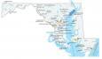
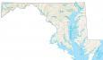
Lakes, rivers and creeks
Delaware Bay
Chesapeake Bay
Patuxent River
Potomac River
Susquehanna River
Deep Creek Lake
Landmarks in Maryland
Backbone Mountains