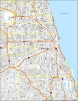
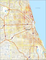
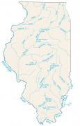
Chicago Neighborhood Map
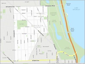
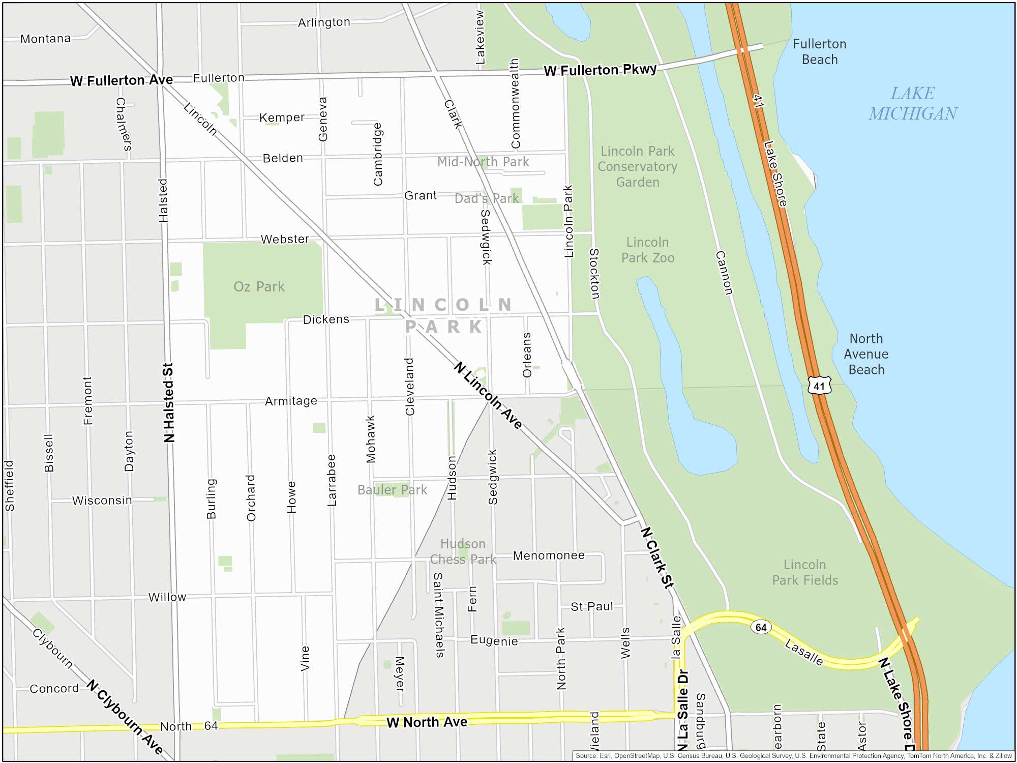
Lincoln Park Map
Lincoln Park is located on the city’s North Side. The path itself spans over 1200 acres. This historic neighborhood is known for the famous Lincoln Park Zoo. It’s also home to the Chicago History Museum. This is where you can find an unusual artifact – an actual life mask of Abraham Lincoln.
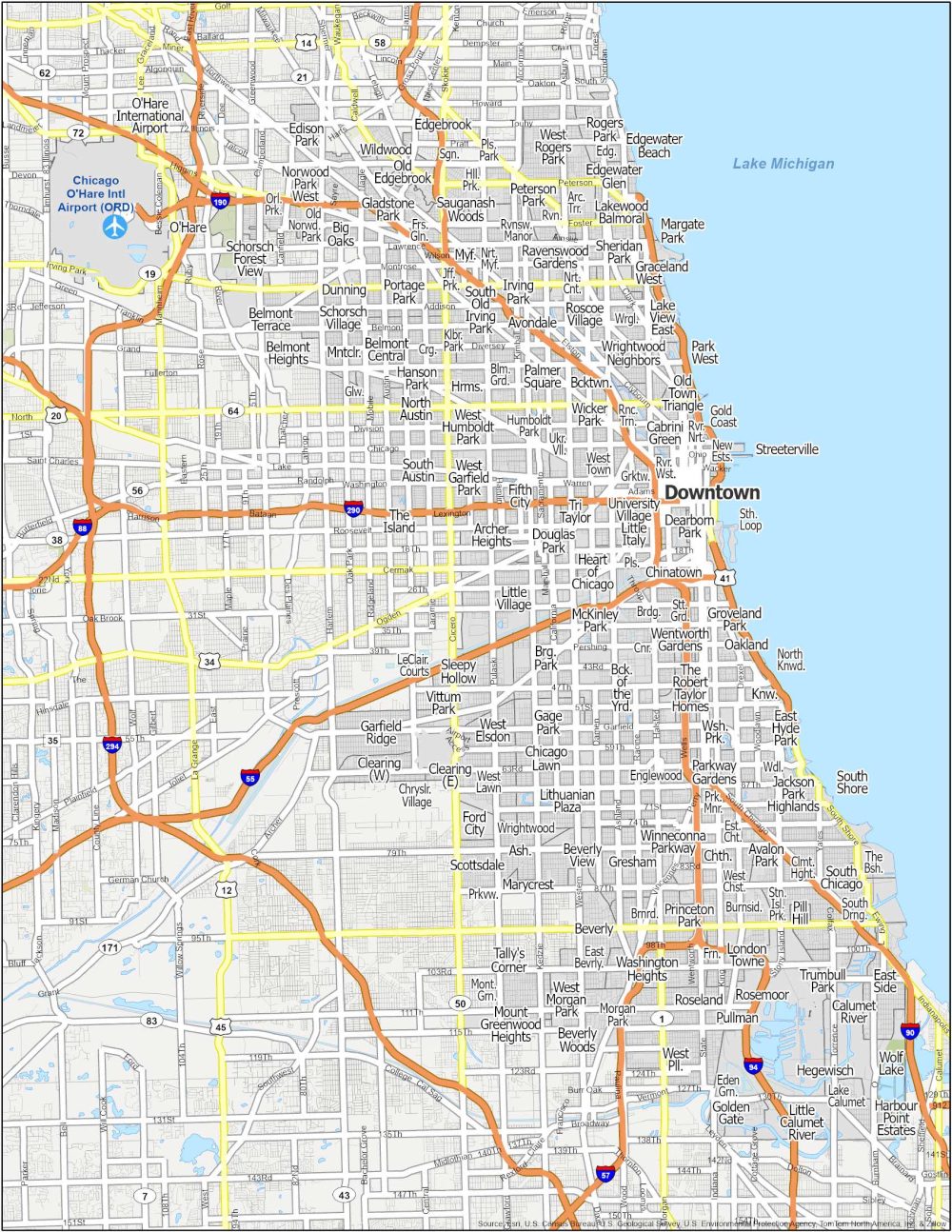
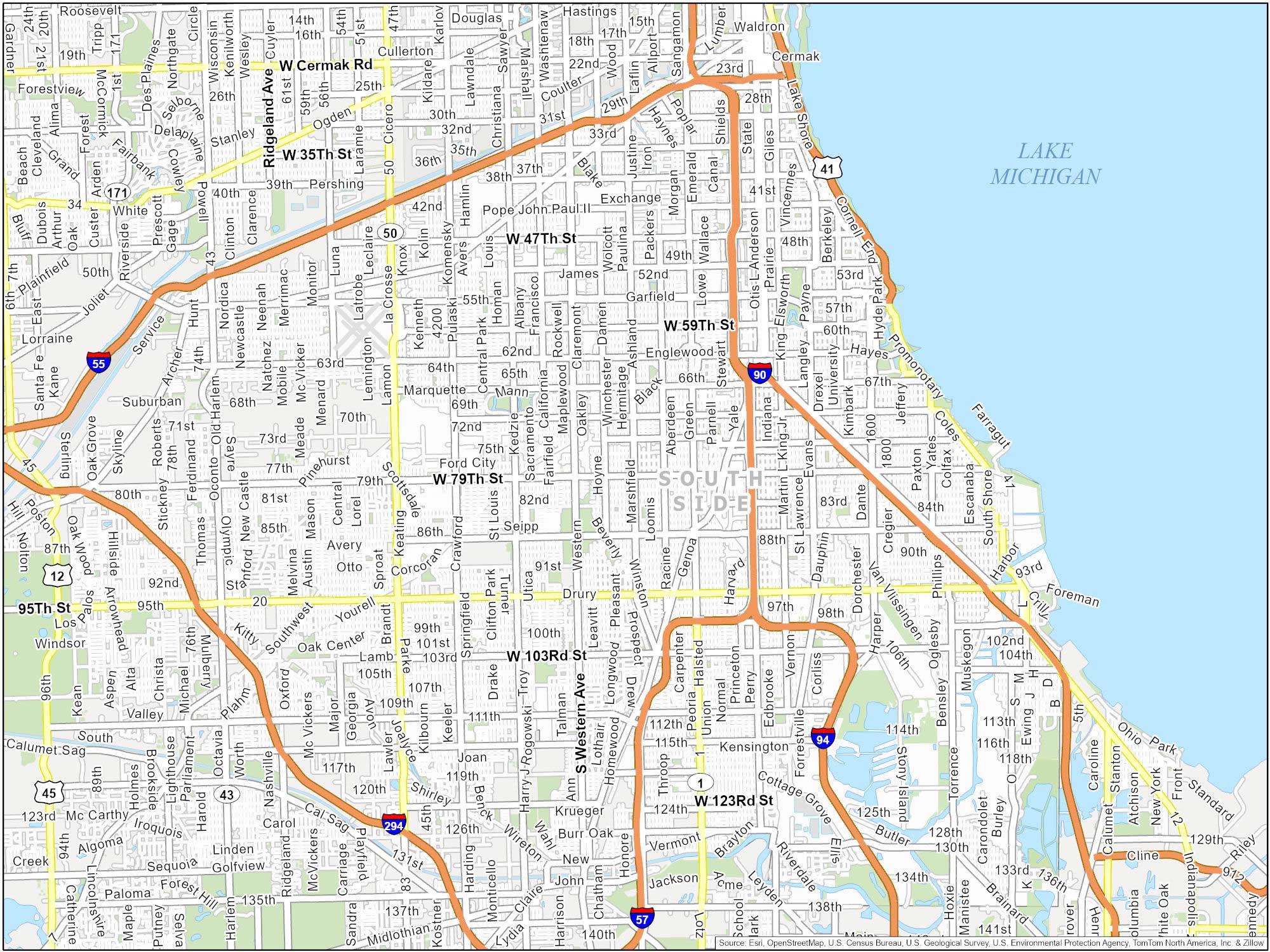
South Side Map
South Side is not just one neighborhood. But it’s a combination of many. It includes Hyde Park, Bronzeville, and others. It has historical significance in African-American culture. For example, Bronzeville was a hub for African-American literature, music, and visual arts. It introduced talents such as Gwendolyn Brooks and Louis Armstrong.
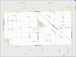
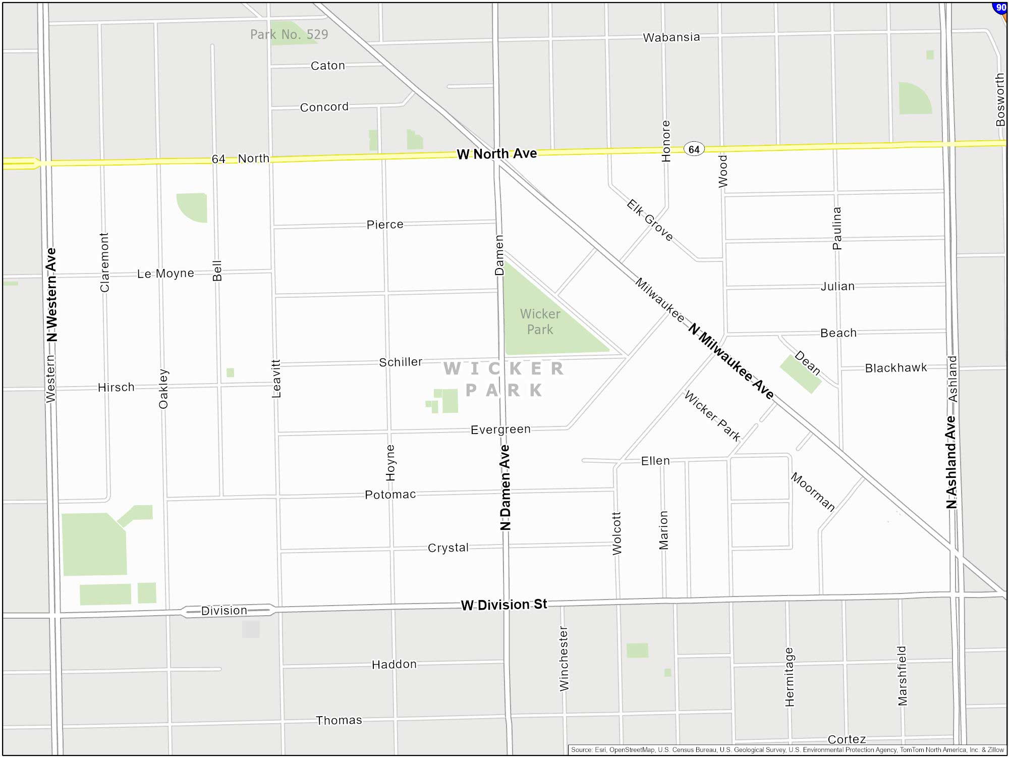
Wicker Park Map
Wicker Town is adjacent to Bucktown on the city’s Northwest Side. During the 1950s and 1960s, it was a thriving hub for writers and artists. Even today, you can spot remnants of this literary heritage. Just check out its local bookstores throughout Wicker Park.
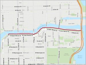
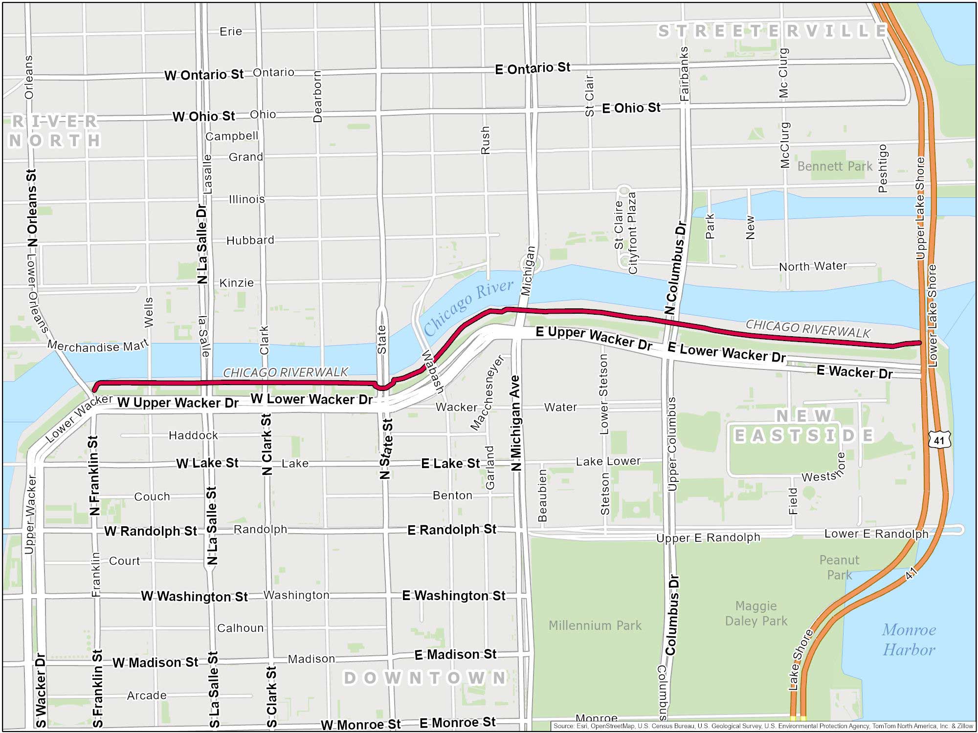
Chicago Riverwalk Map
The Riverwalk area is a 1.25-mile stretch along the Chicago River. Burn off some calories. Then, eat a deep-dish pizza. That’s how I like to do it. It starts at Franklin Street. The path continues all the way to Lake Michigan, ending at Lake Shore Drive.
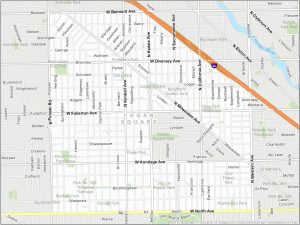
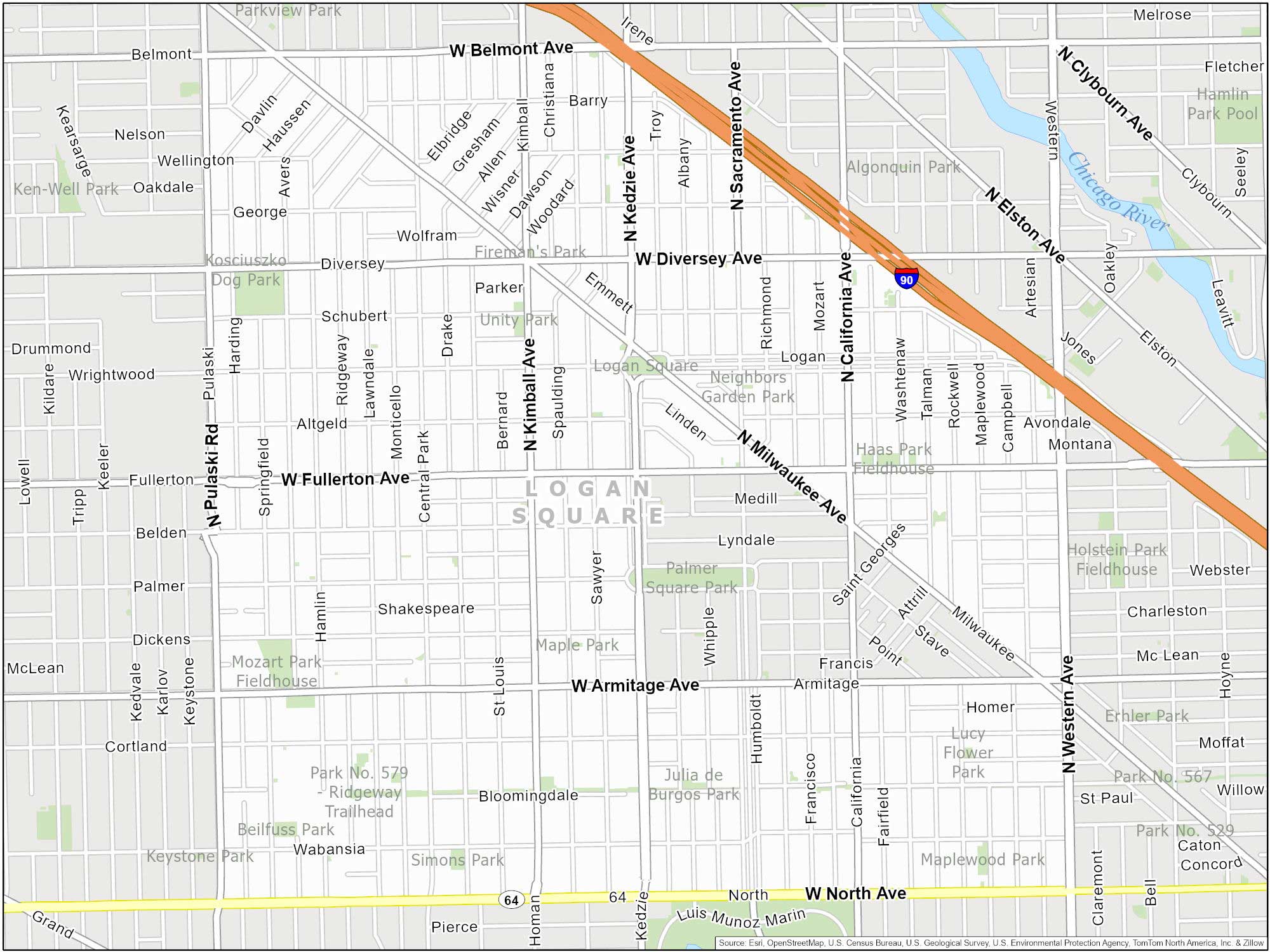
Logan Square Map
Logan Square is known for its historic boulevards and the iconic Centennial Monument. This marble column commemorates the 100th anniversary of Illinois’ statehood. The neighborhood also features large-scale murals and street art.
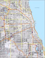
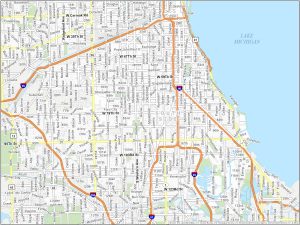
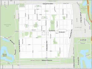
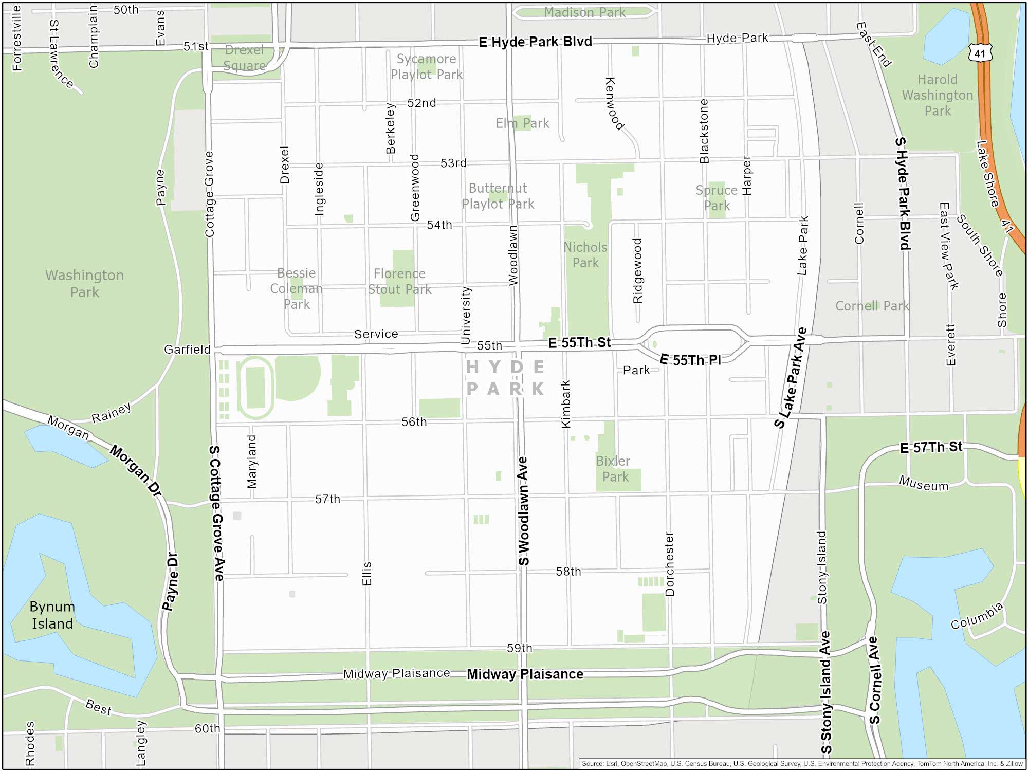
Hyde Park Map
Hyde Park includes one of the world’s leading research universities, the University of Chicago. What’s remarkable is that it’s not just a university. But it’s also a place where significant scientific discoveries took place. Physicist Enrico Fermi conducted the first controlled nuclear chain reaction here. This happened in a secret underground lab beneath the university’s football field in 1942.
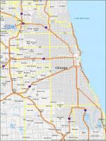
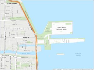
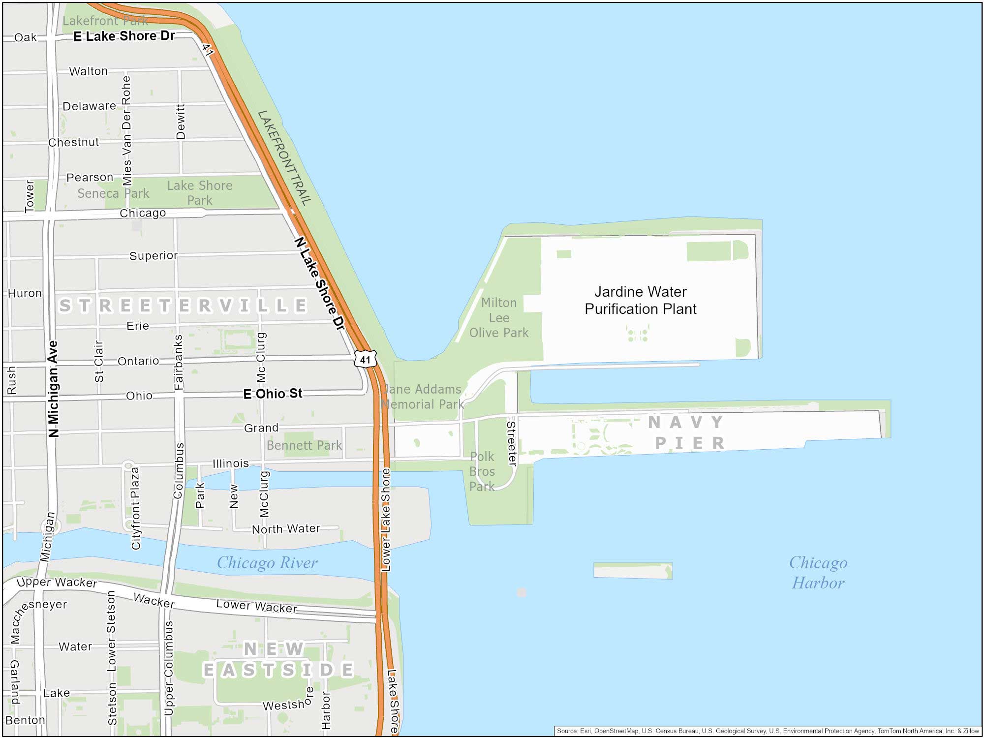
Navy Pier Map
Ahoy there. Navy Pier is a 3,300-foot-long pier on the shoreline of Lake Michigan, smack dab in the heart of Chicago. Our Navy Pier map charts this lakefront landmark.
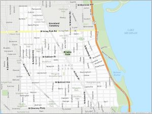
Lake View Map
Situated along the Lake Michigan shoreline, Lakeview is home to Wrigley Field (where the Chicago Cubs play). What’s unique is that Wrigley Field is one of the oldest ballparks in the country, dating back to 1914. This neighborhood also has Belmont Harbor and an entertainment district along Clark Street.

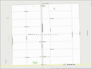
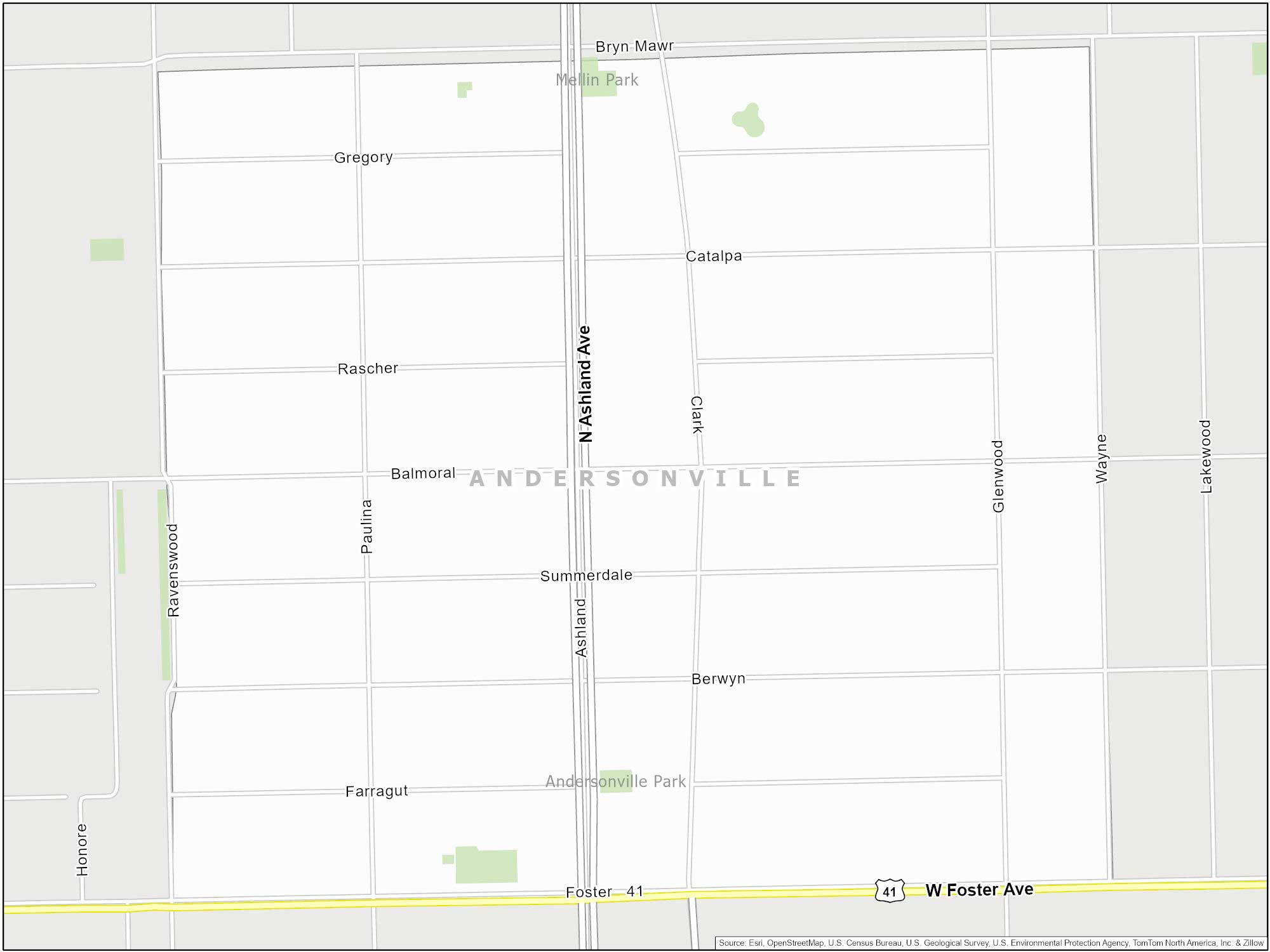
Andersonville Map
Andersonville is located on the city’s North Side. This laid-back neighborhood is welcoming and has a Swedish heritage. In fact, it was known as “Swede Town” due to its large Swedish immigrant population. It features antique shops and restaurants/cafes along Clark Street.
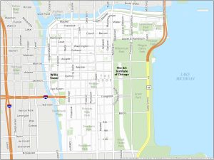
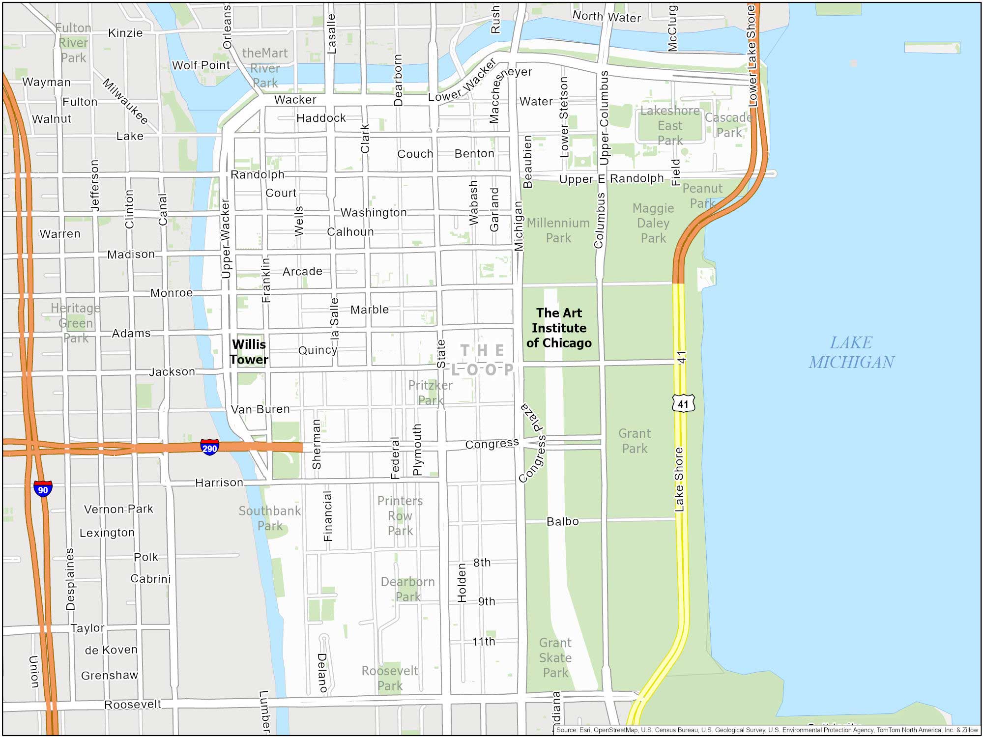
The Loop Map
The Loop is Chicago’s central downtown area. It’s named after the elevated train tracks that form a loop around the area. The Loop is not just Chicago’s central business district. But it’s also home to an architectural wonder known as the Chicago Pedway. You can also find iconic skyscrapers, including Willis Tower and Millennium Park.
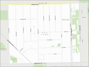
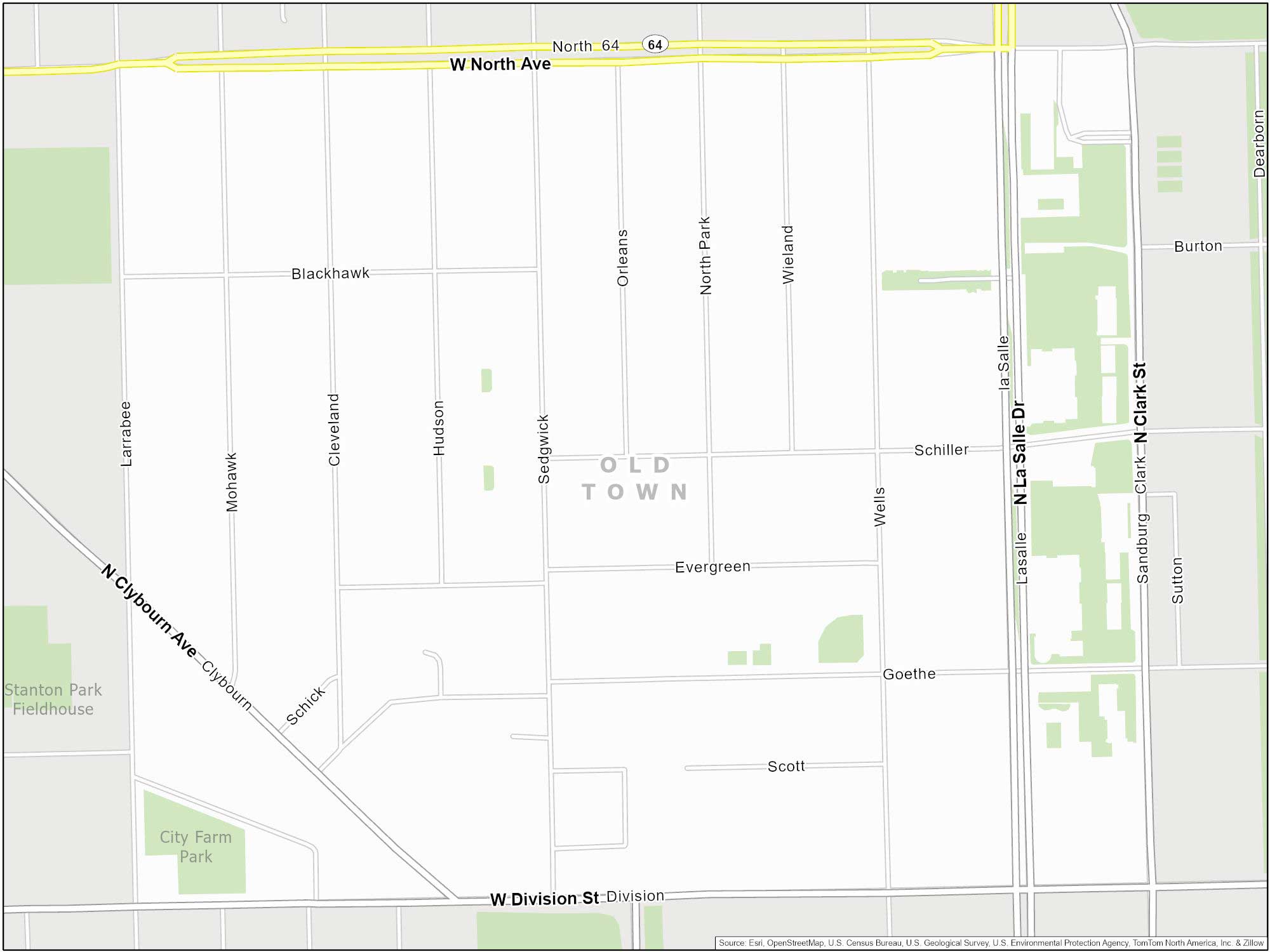
Old Town Map
Located just north of downtown, Old Town is often considered one of the city’s oldest residential districts. This neighborhood has historic churches and an entertainment scene along Wells Street. Also, it’s home to one of the most famous comedy theaters in the world (The Second City) founded in 1959.
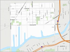
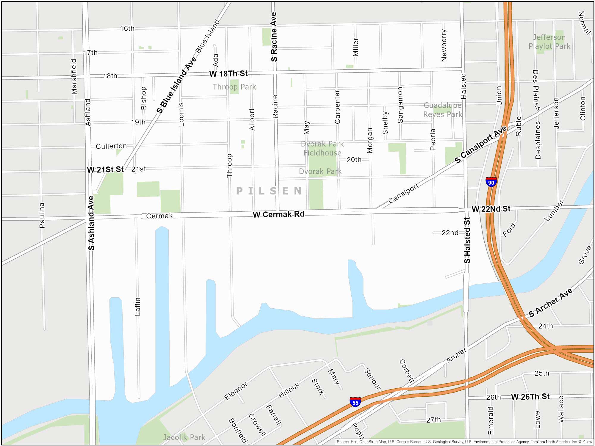
Pilsen Map
Pilsen is a predominantly Latino neighborhood on the Lower West Side. It’s known for its art scene. Colorful murals fill the Pilsen neighborhood. The same goes for Mexican restaurants and the National Museum of Mexican Art.
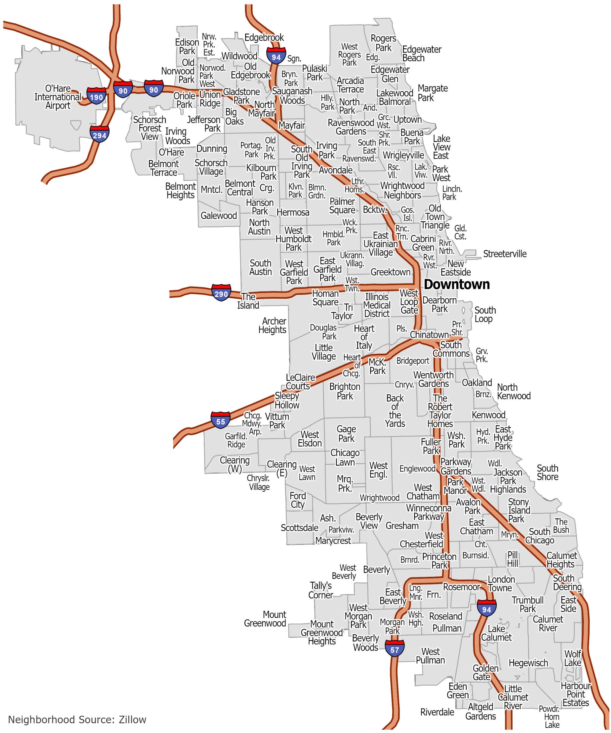
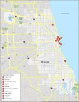
Chicago Neighborhood Map
Chicago feels a bit like a patchwork of neighborhoods. Explore the communities of “Windy City”, the 3rd largest city in the United States. Click on the image to see our original neighborhood map.