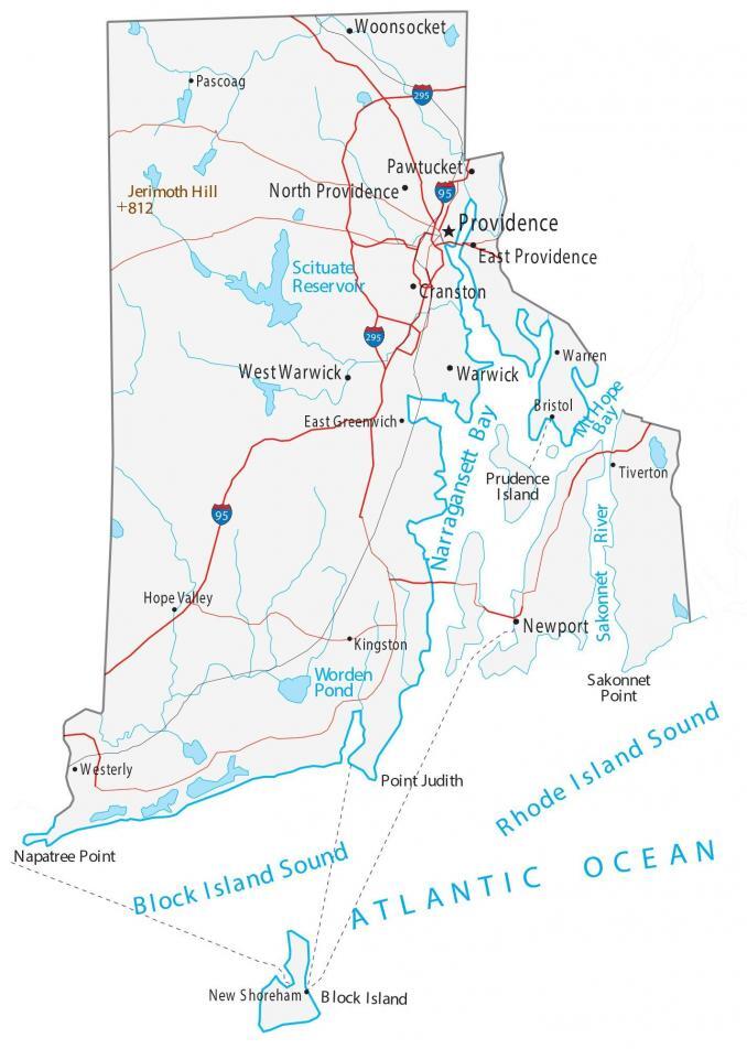
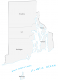
Map of Rhode Island – Cities and Roads
About the map
This Rhode Island map displays cities, roads, rivers, and lakes. For example, Providence, Pawtucket, and Warwick are some of the major cities shown on this map of Rhode Island.
Don’t let the name Rhode Island fool you because it’s not an island. Likewise, it’s not even a peninsula either. Rhode Island was one of the original 13 colonies of America and also the home to the television hit “Family Guy”.
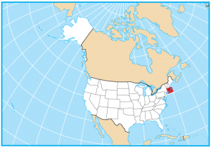
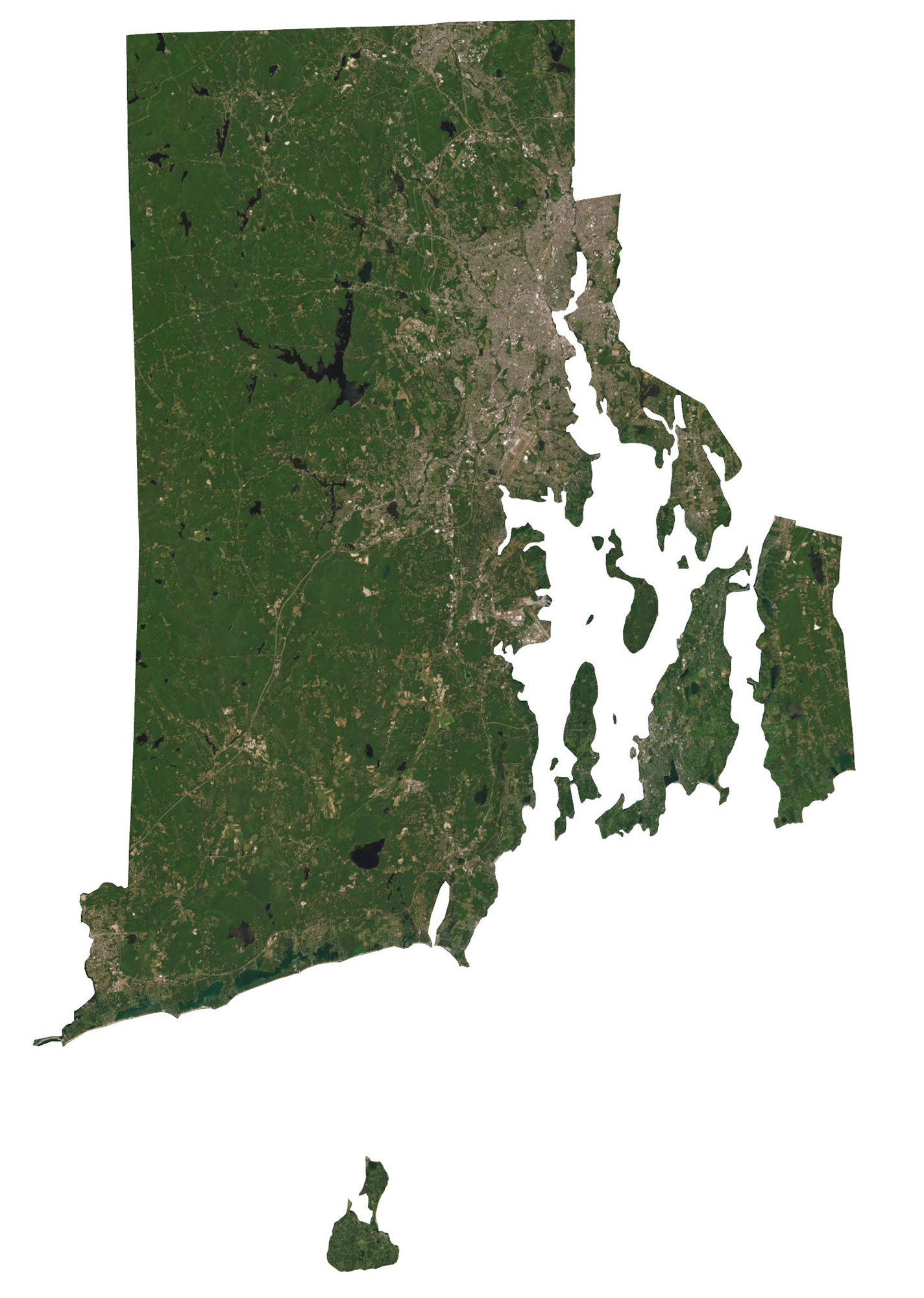
The state of Rhode Island (Ocean State) is situated in the northeast of the United States. In fact, it’s known for being the smallest state in America. It borders just two other states including Connecticut and Massachusetts. The Rhode Island Sound and Block Island Sound are straits of water off the coast of the Atlantic Ocean to the south of the state.
Rhode Island map collection
You are free to use our map of Rhode Island for educational and commercial uses. Attribution is required. How to attribute?
State capital
Providence
Major cities and towns
Providence
Pawtucket
Warwick
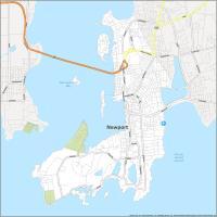
Newport
North Providence
East Providence
Cranston
West Warwick
Woonsocket
Pascoag
East Greenwich
Hope Valley
Kingston
New Shoreham
Tiverton
Bristol
Warren
Westerly
Interstate highways
Interstate-95 (I-95)
Interstate-295 (I-295)
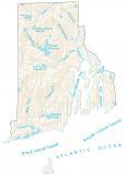
Lakes, rivers and creeks
Atlantic Ocean
Block Island Sound
Rhode Island Sound
Narragansett Bay
Scituate Reservoir
Mt Hope Bay
Sakonnet River
Worden Pond
Landmarks in Rhode Island
Jerimoth Hill
Block Island
Napatree Point
Point Judith
Sakonnet Point
Prudence Island
Can’t understand why Portsmouth is not listed as a town. We have the historic Fort Butts.
Do you have a map of Woonsocket RI? If so what would it look like, and cost?
Unfortunately, I don’t sorry