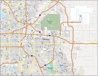
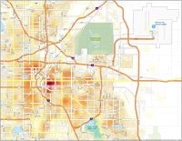
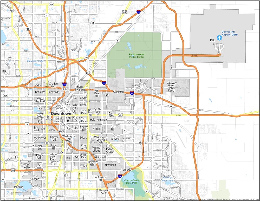
Denver Neighborhood Map
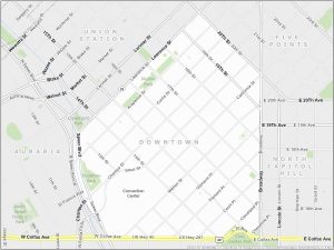
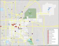
Downtown Denver
Downtown Denver is located at the heart of the city, just east of the Rocky Mountains. Visit the Denver Art Museum for world-class exhibits. There’s also 16th Street Mall, a pedestrian promenade in Downtown Denver.
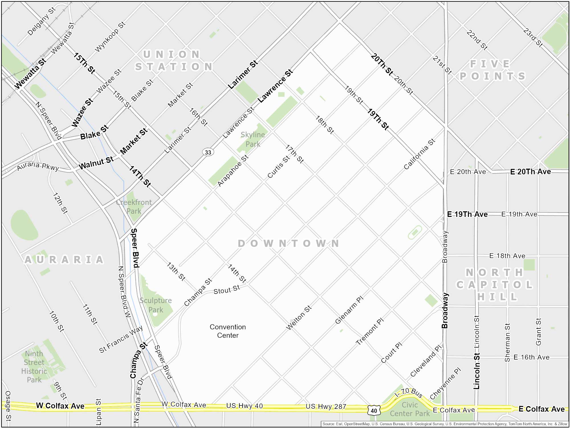
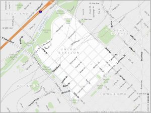
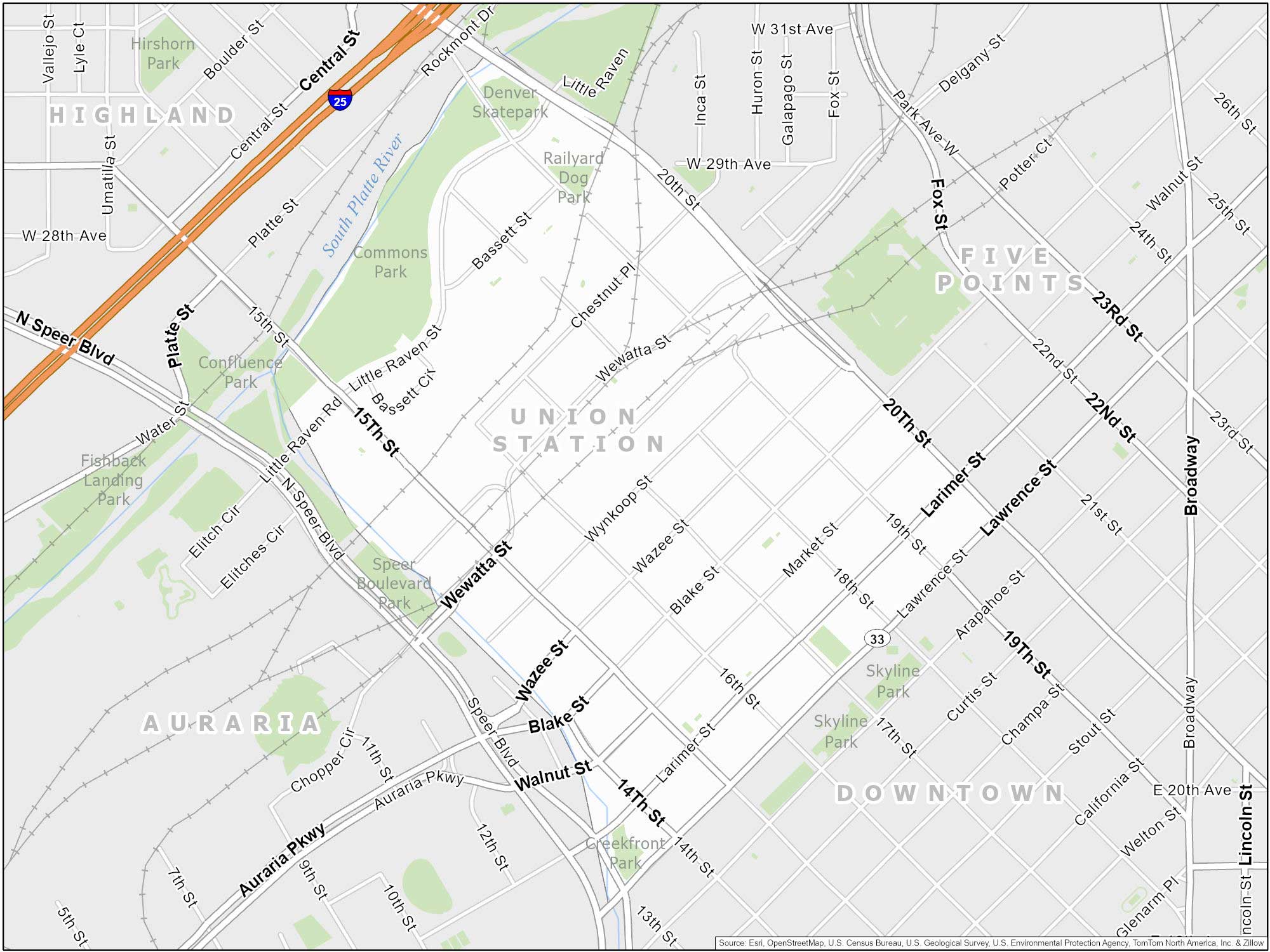
Union Station (Lower Downtown)
Lower Station (LoDo) is Denver’s oldest neighborhood. Union Station is located in Denver’s Lower Downtown (LoDo) district. Check out this area of the city for its dining and shopping options.
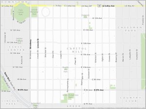
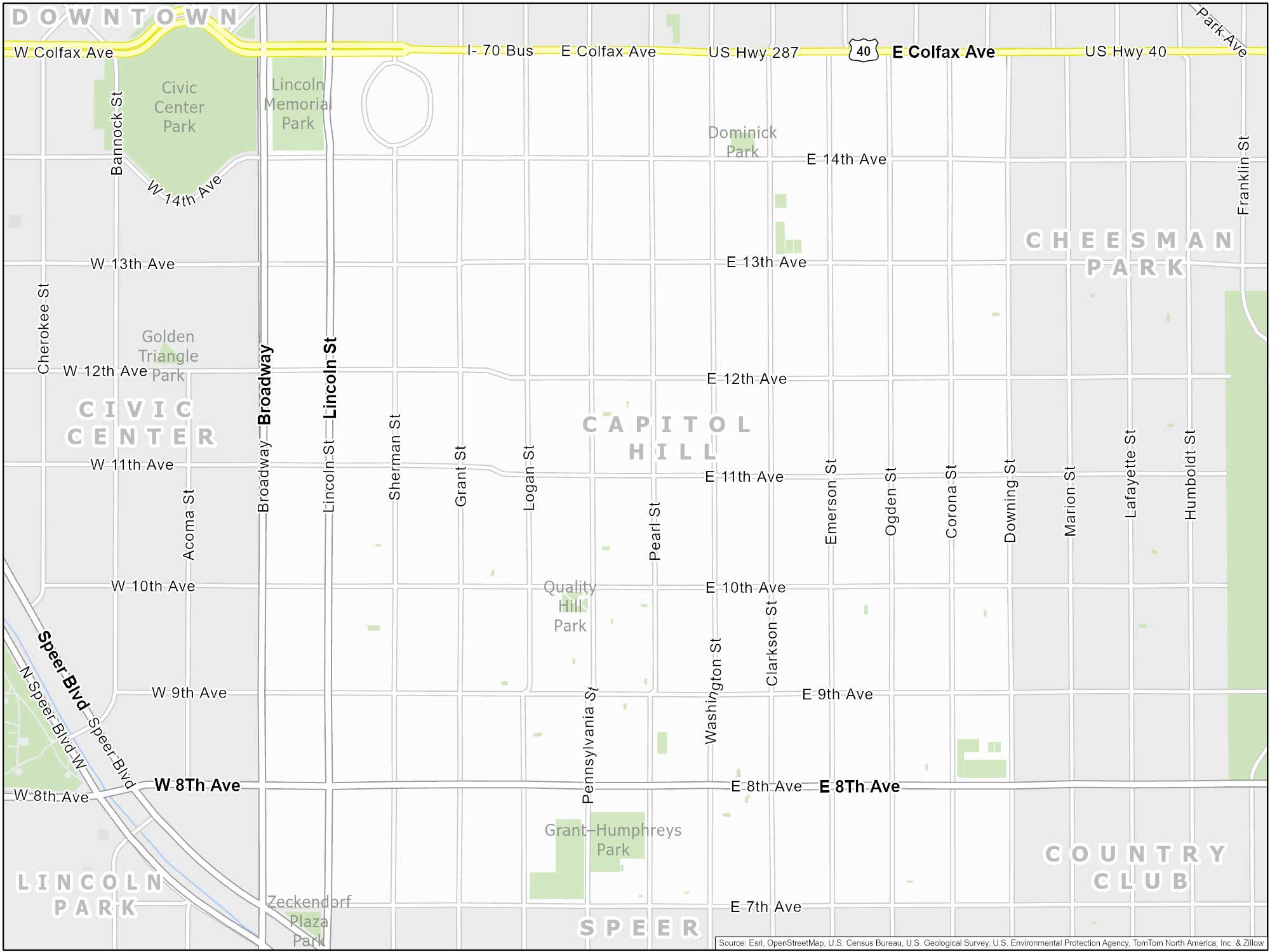
Capitol Hill
Capitol Hill is just southeast of downtown. One key attraction is the Colorado State Capitol. Its gold dome can give you a panoramic view of the city and the Rocky Mountains.
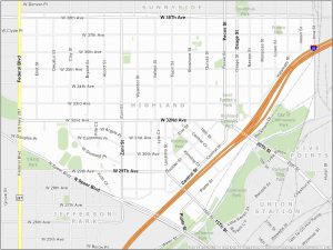
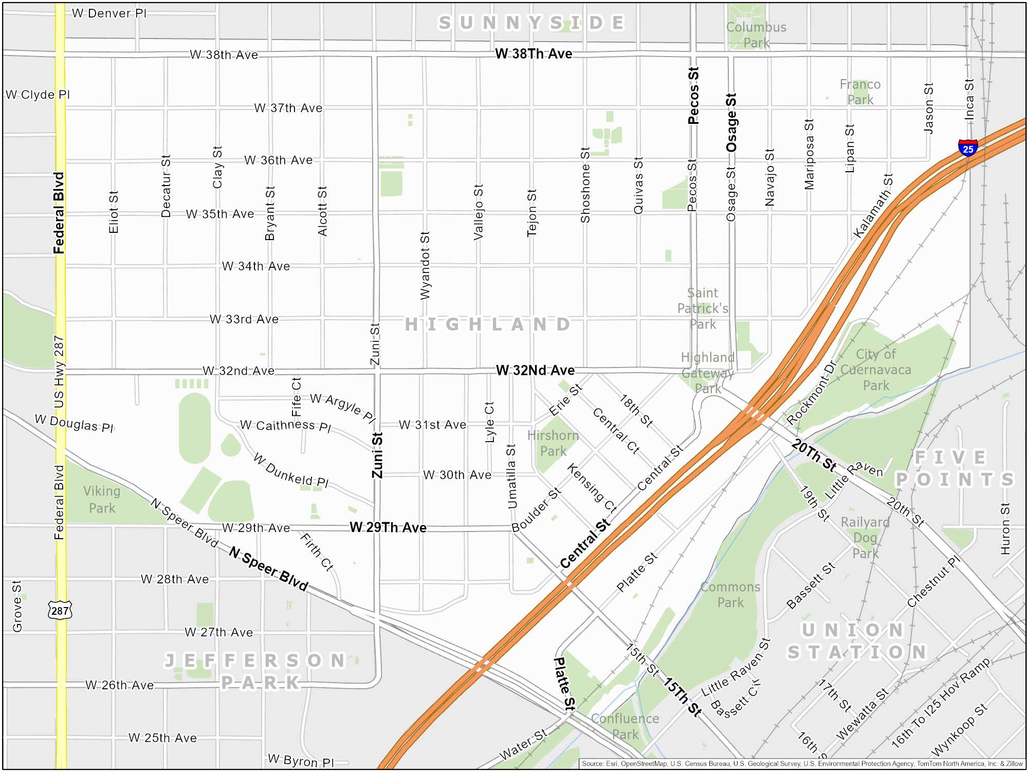
Highlands
Highlands is located northwest of Downtown Denver, across the South Platte River. We divide this neighborhood into Highlands Square and Lower Highlands (LoHi).
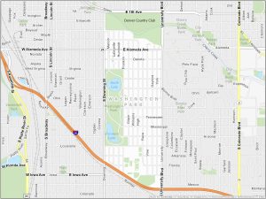
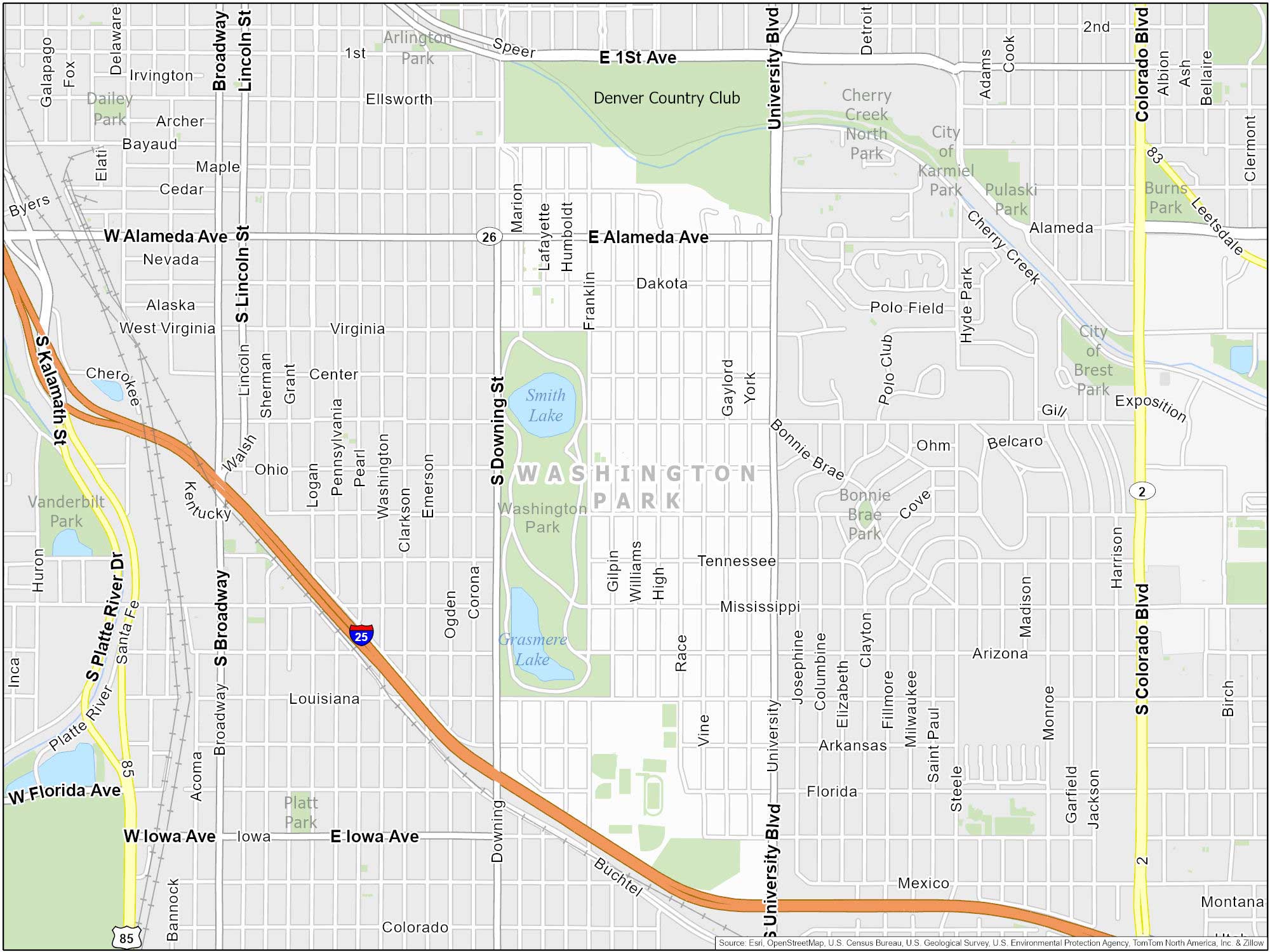
Wash Park (Washington Park)
Wash Park is a neighborhood centered around the expansive Washington Park. It features two lakes, beautiful gardens, and recreational activities.
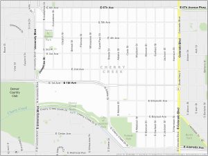
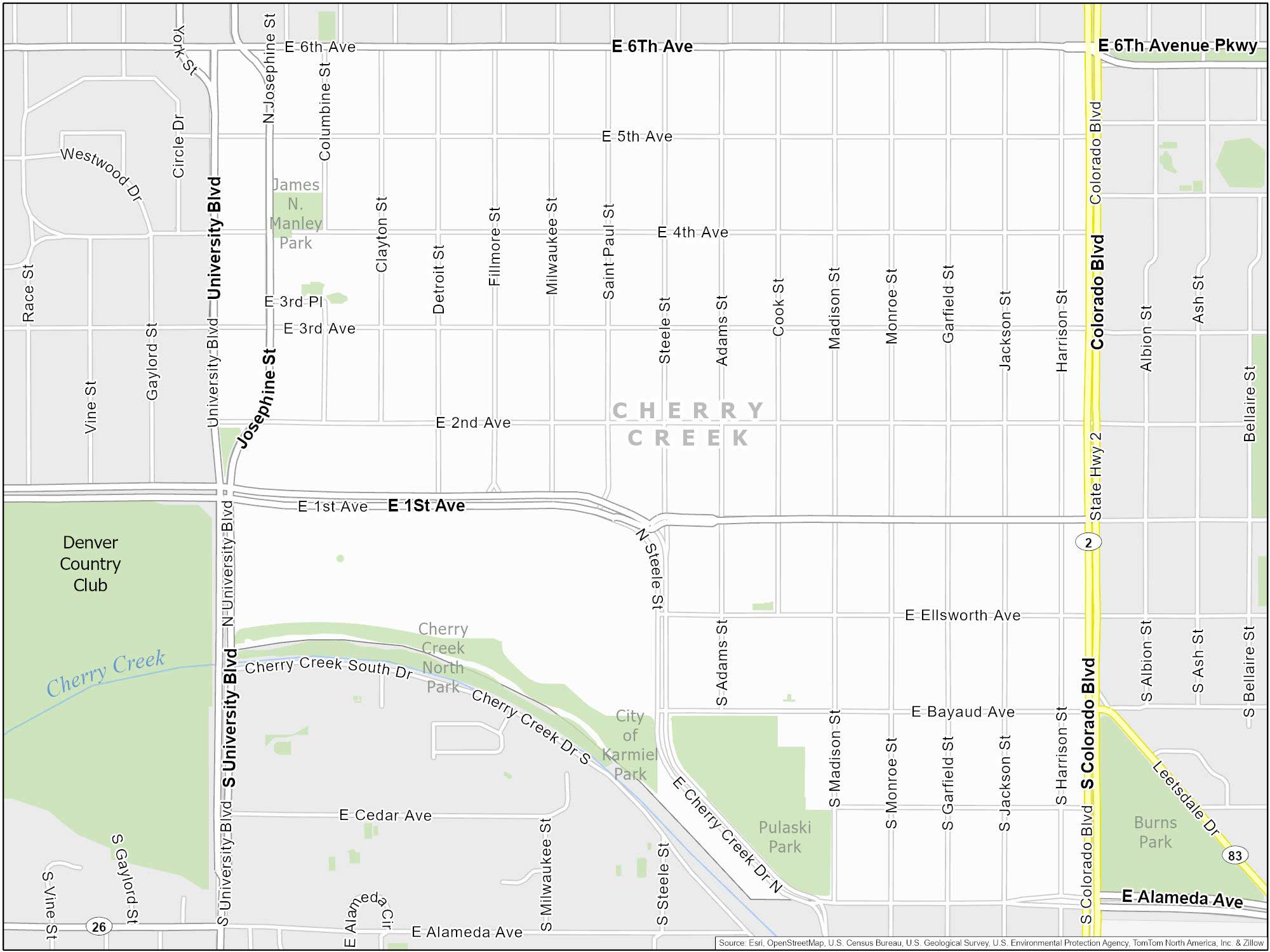
Cherry Creek
Located southeast of downtown, Cherry Creek is a high-end neighborhood. But it’s not just about being chic. It also has green spaces with paths along Cherry Creek Trail.
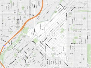
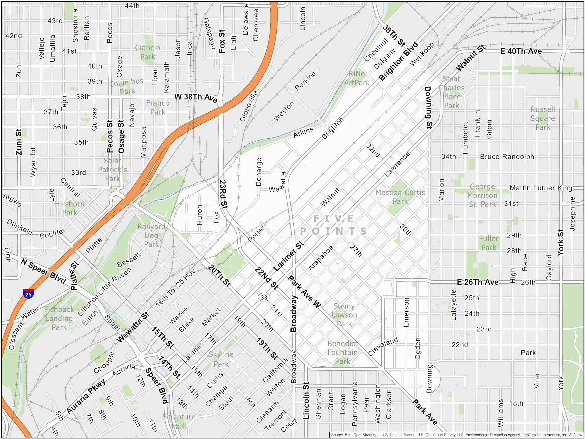
Five Points
Five Points is known as Denver’s historic jazz district. It’s a culturally rich neighborhood that celebrates its African American heritage. You can find this neighborhood northeast of Downtown Denver.
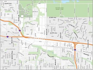
Stapleton
Formerly Denver’s airport, Stapleton is now an urban community with residential areas, parks, schools, and retail spaces. This neighborhood emphasizes sustainability and walkability.

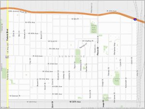
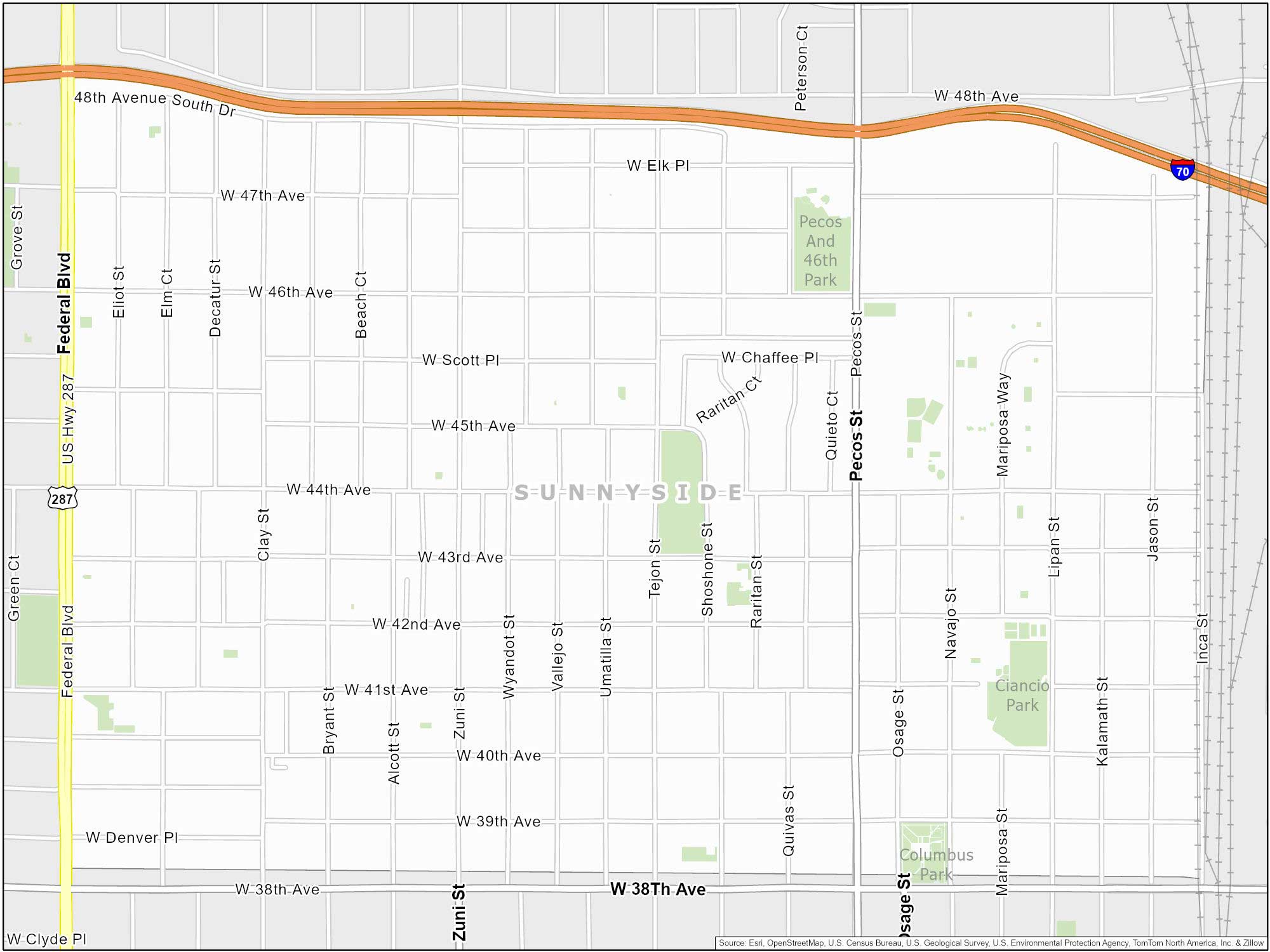
Sunnyside
Situated just northwest of downtown, Sunnyside is a laid-back neighborhood. Inca Street borders it to the east and US Highway 287 to the west.
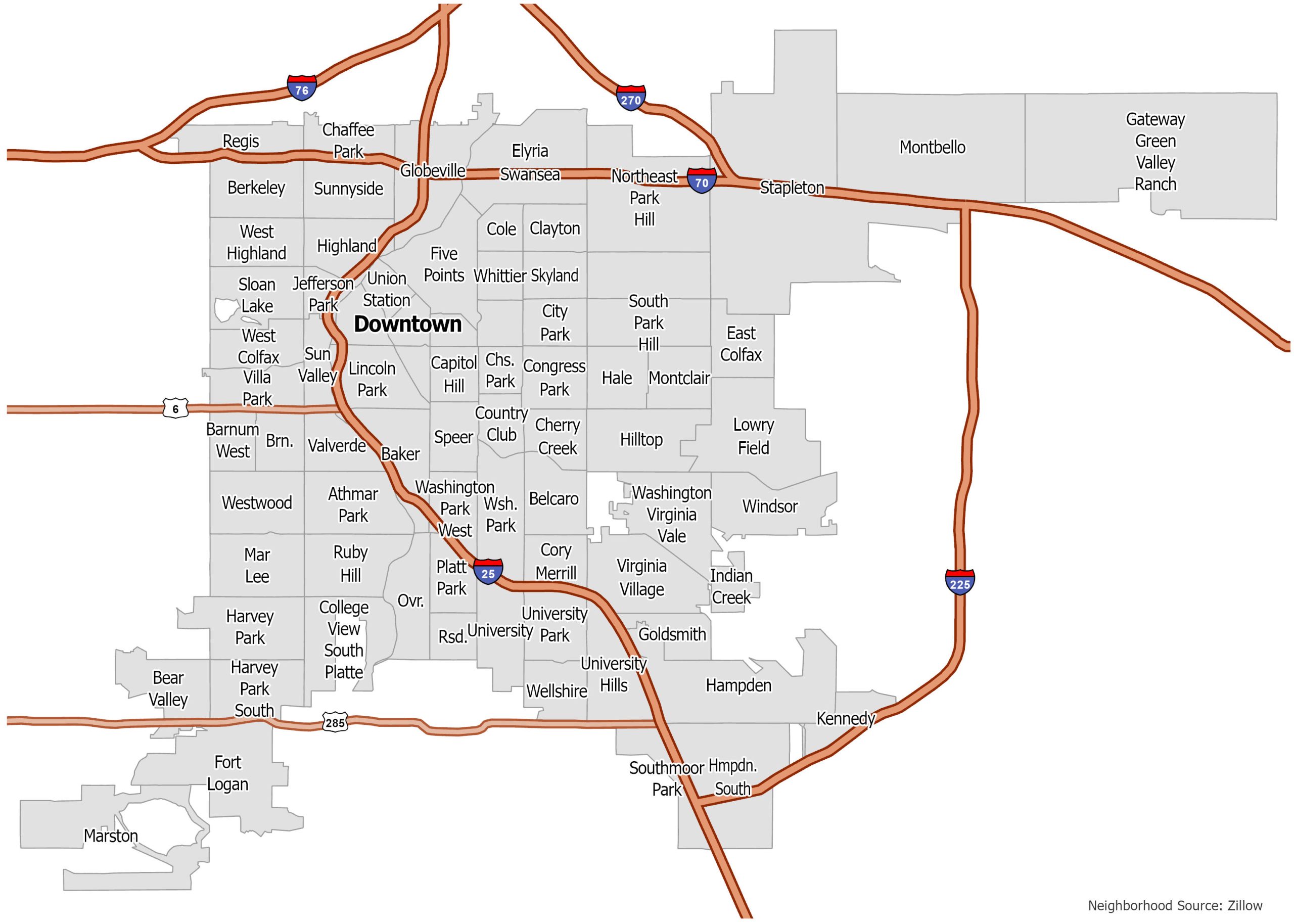
Denver Neighborhood Map
Click on the image to see our original neighborhood map of Denver with interstate highways.