Indiana State Map – Places and Landmarks
About the map
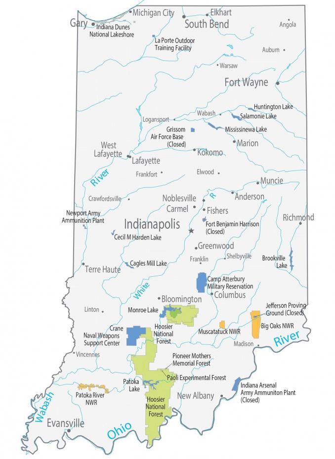
This Indiana State Map shows major landmarks and places in Indiana. Our map features national forests, military bases, preserves, wildlife refuges, and federal lands.
One of the biggest sites to see in Indiana is Indiana Dunes National Park. The park spans 15,000 acres, including the shore of Lake Michigan and over 50 miles of trails over rugged dunes. Indiana’s major national forest is the Hoosier National Forest which extends over 200,000 acres in size.
Indiana is a beautiful place to visit. It has a lot of natural beauty, and there are many activities you can do outdoors. You can visit one of the many state parks, hike one of the many trails, go birding, try your hand at fishing, or visit one of the many museums.
Indiana map collection


You are free to use our map of Indiana for educational and commercial uses. Attribution is required. How to attribute?
Federal lands
National Park (NP)
Indiana Dunes National Park
National Forests (NF)
Hoosier National Forest
Pioneer Mothers Memorial Forest
Paoli Experimental Forest
National Wildlife Refuge (NWR)
Big Oaks NWR
Muscatatuck NWR
Patoka River NWR
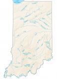
Indiana lakes, rivers and reservoirs
Lakes and reservoirs
Huntington Lake
Salamonie Lake
Mississinewa Lake
Brookville Lake
Cecil M Harden Lake
Cagles Mill Lake
Patoka Lake
Rivers and streams
Ohio River
Wabash River
White River
Army, naval and military
La Porte Outdoor Training Facility
Grissom Air Force Base (Closed)
Fort Benjamin Harrison (Closed)
Newport Army Ammunition Plant
Camp Atterbury Military Reservation
Monroe Lake Jefferson Proving Ground (Closed)
Crane Naval Weapons Support Center
Indiana Arsenal Army Ammunition Plant (Closed)
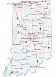
Populated places
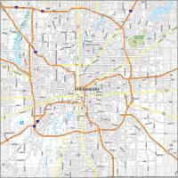
Indianapolis
Evansville
Fort Wayne
Gary
South Bend
Anderson
Bloomington
Carmel
Columbus
Elkhart
Fishers
Greenwood
Kokomo
Lafayette
Marion
Michigan City
Muncie
New Albany
Richmond
Terre Haute
West
Lafayette
Noblesville
Angola
Auburn
Crawfordsville
Elwood Frankfort
Franklin
Logansport
Madison
Shelbyville
Wabash
Warsaw
Vincennes
Linton
State capital
Indianapolis