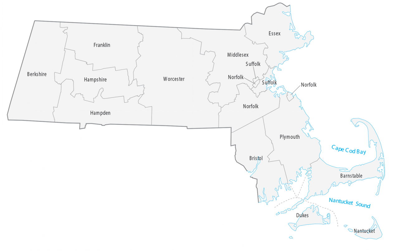
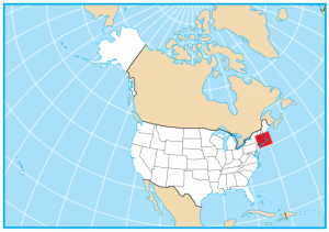
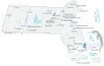
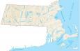
Massachusetts County Map
About the map
Our Massachusetts county map displays its 14 counties. Even though Massachusetts removed 8 of its 14 counties, they still retain a local level of government.
Middlesex County is the largest county in Massachusetts. This county includes the city of Cambridge and Harvard University. Also notable is Berkshire County, home to the Berkshires. Furthermore, Worcester and Suffolk County are highly populated counties in Massachusetts.
Worcester County occupies the most area in terms of size. It’s centered in the middle of Massachusetts and is about 1579.4 square miles. The smallest county in Massachusetts is Nantucket County. This island is off the coast of the mainland in Cape Cod and occupies 50.3 square miles.

You are free to use our county map of Massachusetts for educational and commercial uses. Attribution is required. How to attribute?
Massachusetts county list
| FIPS Code | Name | Land (sq mi) | Water (sq mi) | Population (2024) |
|---|---|---|---|---|
| 25-001 | Barnstable County | 394.2 | 911.3 | 232,570 |
| 25-003 | Berkshire County | 926.9 | 19.6 | 128,726 |
| 25-005 | Bristol County | 553.1 | 138.0 | 588,593 |
| 25-007 | Dukes County | 103.2 | 387.8 | 21,061 |
| 25-009 | Essex County | 492.5 | 336.0 | 823,938 |
| 25-011 | Franklin County | 699.2 | 25.3 | 70,871 |
| 25-013 | Hampden County | 617.0 | 17.1 | 464,151 |
| 25-015 | Hampshire County | 527.2 | 18.0 | 165,399 |
| 25-017 | Middlesex County | 817.8 | 29.1 | 1,668,956 |
| 25-019 | Nantucket County | 46.1 | 257.5 | 14,670 |
| 25-021 | Norfolk County | 396.1 | 48.3 | 740,754 |
| 25-023 | Plymouth County | 658.9 | 434.4 | 542,090 |
| 25-025 | Suffolk County | 58.2 | 62.0 | 793,144 |
| 25-027 | Worcester County | 1510.6 | 68.5 | 881,248 |