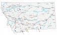
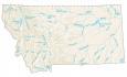
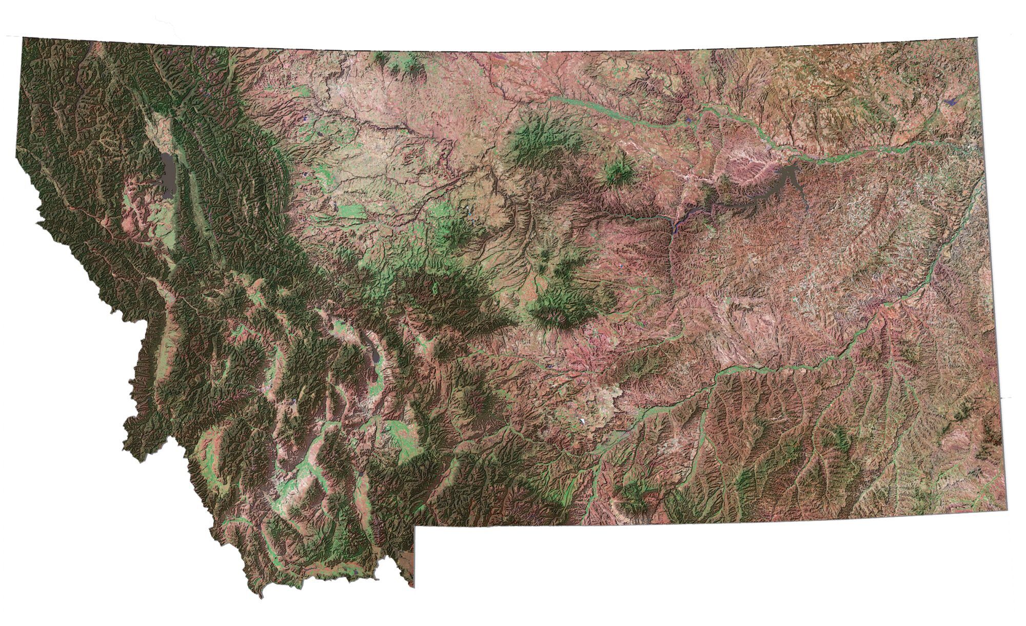
Montana Lakes and Rivers Map

About the map
On this map, you will find major rivers, reservoirs, and lakes of Montana like Fort Peck Lake and Flathead Lake. The state itself has a rugged landscape, so waterways often wind through mountains, valleys, and plains.
Montana boasts some of the most beautiful rivers in the US. For instance, some of the major rivers in Montana include the Missouri River, Yellowstone River, and the Musselshell River.
For area, Fort Peck Lake is the largest at 245,000 acres and is the 5th largest in terms of volume in the United States. The next largest lakes are Flathead Lake, Canyon Ferry Lake, and Hungry Horse Reservoir.
Montana map collection
You are free to use our lakes and rivers map of Montana for educational and commercial uses. Attribution is required. How to attribute?
Montana lakes, rivers and reservoirs
Lakes and reservoirs
Fort Peck Lake
Flathead Lake
Hungry Horse Reservoir
Canyon Ferry Lake
Lake Koocanusa
Lake Elwell
Hebgen Lake
Yellowtail Reservoir
Rosebud Creek
O’Fallon Creek
Medicine Lake
Nelson Reservoir
Fresno Reservoir
Rivers and streams
Yellowstone River
Missouri River
Clark Fork River
Milk River
Bitterroot River
Big Hole River
Tongue River
Musselshell River
Sun River
Marias River
Teton River
Kootenai River
Bighorn River
Powder River
Poplar River
Madison River
Gallatin River
Red Rock River
Flathead River
Big Muddy Creek
Flathead River
Blackfoot River
Beaverhead River
Jefferson River
Little Missouri River
Redwater River
Judith River
Smith River
I would like to purchase hard copy maps. Especially Montana Lakes and River Map. How large?
We allow you to freely print a copy of this map locally