Triangular Irregular Network (TIN)
A Triangular Irregular Network (TIN) is a way to represent a 3D surface. They can show complex surfaces such as slopes and elevation.

A Triangular Irregular Network (TIN) is a way to represent a 3D surface. They can show complex surfaces such as slopes and elevation.
Topography lays the underlying foundation of the Earth’s surface. In this comprehensive guide, you’ll learn everything about topography and topographic maps.

During an 11-day mission, Space Shuttle Radar Topography (SRTM) mission captured Earth’s elevation at 1 arc-second (30 meters) for over 80% of the Earth.
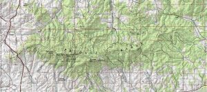
If you’re looking for topographic maps (contours, place names & hydrography) for the United States, the first place to look is the USGS topo maps series.
We explore the differences between DEM (bare earth), DSM (natural and built environment) and DTM (vector contours and regularly-spaced points).
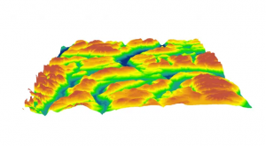
Want to elevate your chances of finding a digital elevation model? Sure you do. You should dive into our list of free global DEM data sources.