15 Free Satellite Imagery Data Sources
If you’re searching for free satellite imagery, we rank the best sources of free satellite data from authoritative sources like NASA, USGS and Maxar.

If you’re searching for free satellite imagery, we rank the best sources of free satellite data from authoritative sources like NASA, USGS and Maxar.
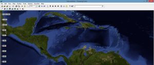
FalconView is not a prototype GIS software. Instead, it’s a flight simulator that lets you do flight planning, simulations, and fly-throughs.
The Landsat file name structure gives you the what, where, when and how the data was captured. (ex. LXS PPPRRR YYYYDDD GSIVV)
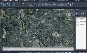
AutoCAD Map 3D has the same look and feel as Autodesk. By linking CAD and GIS, it bridges the gap between design and geographic locations.

So many college GIS certificate programs to choose in Canada, eh? You can’t discount going to a college to earn your very own college GIS diploma.
Unless you’re a data editing jedi, your GIS data may unknowingly have errors like gaps and overlaps. What to do? Fix errors using topology tools in ArcGIS

We give you a job profile of the modern cartographer. Cartographers specialize in graphic design, color history and often Geographic Information Systems
The world of geoscientists can experiment with the free SAGA GIS. It’s a clear winner in 3D rendering, terrain analysis, and geostatistics.