FalconView by Georgia Tech (Review)
FalconView is not your prototype GIS software. Instead, it’s a flight simulator. For example, it lets you do flight planning, combat simulations, and fly-throughs.
But under the hood, it has GIS capabilities like spatial analysis, querying, and visualizations. It’s ranked #29 in our list of GIS software.
Today, let’s take a look at FalconView in a bit more detail.
Pros/Cons of FalconView
Here are some of the advantages and disadvantages of using FalconView compared to other GIS software applications.
PROS
CONS
FalconView Ratings
Mapping
Analysis
Editing
Data Support
Ranked #29 from 30 GIS Software
FalconView GIS Software

The initial purpose of FalconView is to be open source and free GIS software. Georgia Tech built this open software for displaying various types of geographically referenced overlays.
Something neat about FalconView is that it’s mostly used for combat and defense. For example, its biggest users are the US Department of Defense and other National Geospatial-Intelligence Agencies.
As a result, its main focus is on combat flight planning options that you can find available in the software. But you can also use it for GIS too because of the practical uses for defense.
A Mapping and Analysis Tool
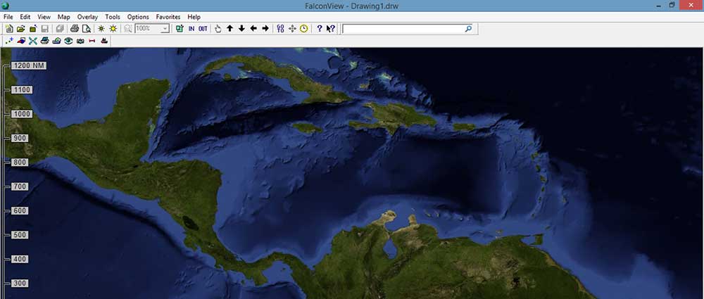
FalconView is primarily a mapping tool. It supports a wide variety of data types like LiDAR, KMZ, and MrSID. It’s also ideal for viewing satellite and elevation data.
For example, SkyView mode can perform fly-throughs. It even has the ability to open MXD files. Otherwise, you can render features in 3D like LiDAR and elevation data.
It has a narrow range of GIS analysis tools. There are type calculation operations. But the big advantage is if you’re doing work using aviation or nautical charts.
Summary: FalconView
Overall, Falcon View is mostly for flight and ship routing.
Unless you’re working with aviation or nautical charts, it’s not a very robust software suite.
But this is expected because it’s not the primary purpose of the software.
Have you used FalconView? What did you think of it?


It’s been completely scrubbed from the net, even from the internet archive. It’s DoD software so go figure. So much for open source.
Can you deprecate this since it’s not available?
How do I download the software?
I’ve contacted the developer. I will update this comment when (or if) I hear anything back.