AutoCAD Map 3D by Autodesk: GIS and CAD Fusion
If you’re familiar with using Autodesk, AutoCAD Map 3D has the same look and feel to it. By linking CAD and GIS, it bridges the gap between engineering design and geography. For example, you get map layouts, data management, and analysis capabilities like any GIS software.
We found it to be a decent choice in software. In fact, we have it ranked #17 in our list of GIS software. Today, let’s explore AutoCAD Map 3D built by Autodesk. What are its best and worst features?
Pros/Cons of AutoCAD Map 3D
Here are some of the advantages and disadvantages of using AutoCAD Map 3D compared to other GIS software applications.
PROS
CONS
AutoCAD Map 3D Ratings
Mapping
Analysis
Editing
Data Support
Ranked #18 from 30 GIS Software
CAD and GIS Fusion
AutoCAD Map 3D bridges the gap between CAD and GIS. For example, you get sophisticated tools for mapping, analysis, and table editing.
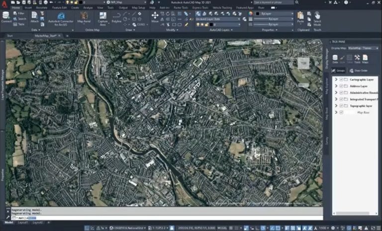
AutoCAD Map 3D provides a ribbon interface. There are tabs specifically for setting up map layouts, GIS analysis tools, and feature editing.
All things considered, AutoCAD Map 3D does a bit of both GIS and CAD. But it doesn’t specialize in either one of the two. The ArcGIS for AutoCAD plugin is a bridge between both software that gives you interoperability for image services and editing features.
Mapping and 3D visualization

The key difference is that AutoCAD Map 3D gives functionality to build thematic maps and layouts. It’s not only in 2D. But it offers 3D viewing with LiDAR data, TINs, and more.
THEMATIC MAPS: You can stylize basic thematic maps and raster color ramps. But you don’t get a good variety of map types to pick from.
MAPBOOKS: Based on a grid index, you can create mapbooks. Then, each tile represents a page in your report with a keymap.
COORDINATE SYSTEMS: On top of this, you get to work in coordinate systems using EPSG codes. By assigning coordinate systems to data, it allows you to project your map in two dimensions.
SURFACE MAPS: It has support for LiDAR point clouds. For example, you can create 2D and 3D visualization or TIN display overlays with shapefiles.
Data analysis and management
You get more value from your data with geospatial analysis. When you use AutoCAD Map 3D, it has the most well-known tools.
For example, buffers set a distance around a feature. If you want to know how many houses are within a 100-meter buffet distance of a pipeline, run a buffer.
If you want to identify pipeline material, you can run a query in your dataset. These are examples of how you can get the best of both worlds from GIS and CAD.
Although you get a solid set of tools, by no means is it an exhaustive list. Here are examples of the tools available:
Editing and Georeferencing

The editing tools allow you to create points, lines, and polygons using traditional AutoCAD tools. For example, you can create arcs, lines, and shapes. In AutoCAD 3D Map, the editing tools are a highlight of this software.
If you want to place an image into real-world space, you can use the georeference and rubber sheeting tools in AutoCAD Map 3D. This is also a neat feature because it’s quite simple to do.
Other features include:
- Networks, topology, and coordinate geometry (COGO)
- Autodesk Connector for ArcGIS allows you to directly connect to ArcGIS Online
- Aerial, hybrid, and road online maps for background and reference
Conclusion
Autodesk single-handedly has the largest market share in the CAD industry. If you are an existing user and want to voyage into GIS, this is a good transitional phase.
Altogether, AutoCAD Map 3D is definitely worth learning, especially working in an engineering firm.
In fact, they offer a free trial of AutoCAD Map 3D if you are a student or an educator.
What are your thoughts on this software? Please let us know with a comment below.


Hi, there.
I hope this massege finds well.
I am interested in Autocad Map 3d, I would like to comprehensive my training from you.
could please provide me the quotation of online training if that is possible? or provide me with the procedure that use for someone to be trained.
Thank you for your assistance in this matter.
Kindly regards
Mr. Titus Shuliputjo
I’d suggest the Autodesk training website – https://www.autodesk.com/training
Great article, AutoCAD Map 3D is a wonderful piece of software! I would point out that the author has some misunderstanding on the Autodesk side. There are two quotes that demonstrate that misunderstanding.
“All things considered, AutoCAD Map 3D does a bit of both GIS and CAD. But it doesn’t specialize in either one of the two.”
“Altogether, AutoCAD Map 3D is definitely worth learning, especially working in an engineering firm.”
AutoCAD Map 3D is a CAD software built upon the base of AutoCAD. It isn’t limited in its CAD capabilities. In fact Autodesk now offers AutoCAD with specialized toolsets (one of them is Map 3D.) It is fully capable CAD software with the additions of (some) GIS capabilities. In regards to the second quote, I agree with almost completely, I would just add some additional information to it. This comes naturally with a better understanding of AutoDesk software. AutoCAD Civil 3D, which is a very popular software for engineering firms, is built upon that same AutoCAD base plus the Map 3D. So mentioning that those same capabilities are available in the Civil 3D software that is probably already being used by the engineering firm might be good for the readers to know.
One additional comment coming from a recent user of both AutoDesk and ESRI products: Autodesk does a better job handling GIS data and formats then ESRI does with handling CAD data and formats. Yes a .dwg can be brought into ArcMap or ArcGIS Pro but there are attributes (or object data in the AutoCAD terminology) that can’t be seen in ESRI’s software. Map 3D is able to kick out shapefiles with that object data that can be useful to extract and brought into the more native GIS environment.
Dear Team,
Kindly quote for
1. Autodesk AutoCAD MAP 3D
2. AutoPlan