United States Map with Capitals
From Alabama to Wyoming, we display all 50 US states and capital cities. This United States map with capitals is a simple representation of continental US.
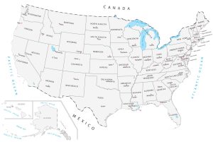
From Alabama to Wyoming, we display all 50 US states and capital cities. This United States map with capitals is a simple representation of continental US.
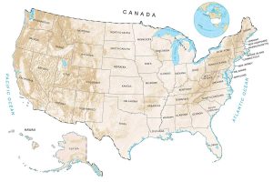
There are really several ways to see elevation in the United States. But the most common way to see a US elevation map is through a digital elevation model.
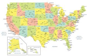
A USA map with states and cities that colorizes all 50 states in the United States of America. It includes selected major, minor and capital cities.

The Merge Tool combines data from multiple sources and puts them into a new data set with the same shape type (points, lines, or polygons).

Python libraries are the ultimate extension in GIS because it allows you to boost its core functionality. Here are the best Python libraries in GIS/mapping.

GOES and POES are both operational environmental satellites. But they actually share more in common such as their 40+ year legacy in space.

We reveal the top 10 GPS apps for navigation (Android and iOS). Some apps will steer you away from trouble like crashes, construction and cops.