7 Weather Maps: How To Check the Weather in Style
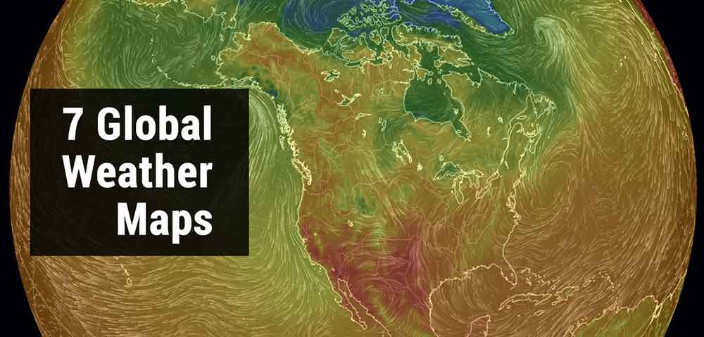
How To Check the Weather in Style
Whenever a big storm is coming, it’s satisfying to see it on one of these weather maps. This is because you can see its extent in the big picture.
These 7 weather maps include:
- Real-time weather with detailed forecasts from weather models.
- Spinning wind vectors displaying the scale of winds.
- The delivery of real-time satellite precipitation data.
If you’re interested in watching the temperature, wind gusts, ocean waves, pressure isobars, and cloud coverage, here are 7 global weather maps.
1. Ventusky
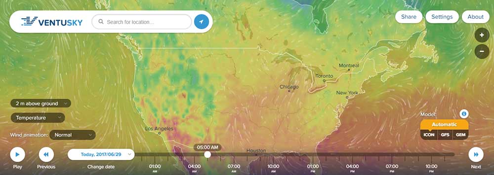
The trendy Ventusky interface hits weather on so many levels.
Built by a Czech team of weather specialists, this high-tech tool captures wind, rain, and temperature in an animated map. No matter how you look at it, this is a stylish way to look at the weather.
Ventusky uses data from the best weather forecast models in the world. Although this Czech team of meteorological experts knows the weather best, they certainly have a way to visualize it too.
2. NASA Global Precipitation Measurement (GPM)
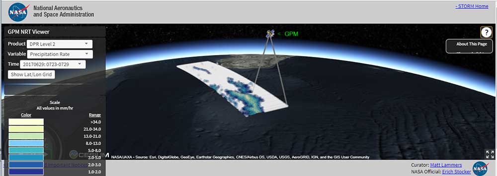
The little-known GPM NRT Viewer developed by NASA displays Near Real-Time (NRT) from Global Precipitation Measurement (GPM) data. In other words, as soon as the data are available, the delay is minimal between the data acquisition and delivery.
Using WebGL and Cesium, NASA can put this near real-time weather map together. Of course, they have to do it NASA-style. That is, collect it from their orbiting fleet of satellites in space :)
3. Earth Null School
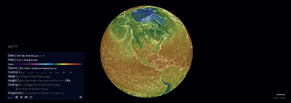
It’s time to be mesmerized by the spiraling vector wind patterns of Earth Null School. Using near real-time weather data, it’s what made this map viral. But it’s not only weather, you can see current wind, weather, ocean, and pollution conditions.
Using supercomputers, Earth Null School forecasts these weather patterns updating the weather map every 3 hours. While the weather is based on NOAA’s global forecast system, ocean currents are based on OSCAR.
4. Real-time Lightning Map
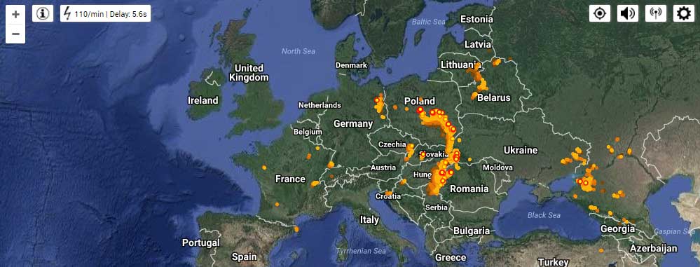
Based on user feedback, there’s been quite a lot of confirmation on how accurate this tool is. So how do they get their real-time lightning map to work anyhow?
This map uses data from the Blitzortung lightning detection network. When the lightning receiver detects electromagnetic discharges from the atmosphere, it estimates the lightning strike location based on the time of arrival and position of the receiver.
5. MeteoEarth
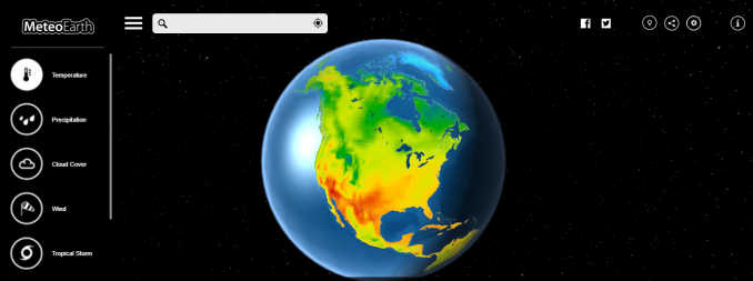
MeteoEarth.com offers global comprehensive weather forecasts to really see how weather patterns are evolving.
A unique feature is how you can see pressure as isobars. Likewise, it’s unique that you can go back in time and see climate history. MeteoEarth is all about on-screen usability.
6. Night Day Boundary
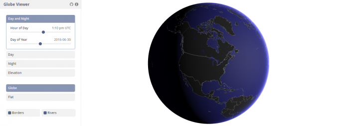
The Night-Day map has always been one of my favorites because you can see in real-time how much more of the day you have left.
Temperature is affected by the time of the day so I am throwing this one in here. The 3D night-day boundary map illustrates which parts of the Earth people are fast asleep and are wide awake.
7. Temperature Anomalies
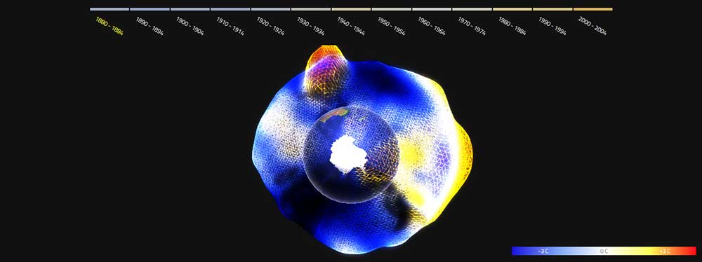
Perhaps, more in the realm of climate change maps, the well-crafted map displays temperature anomalies for specific date ranges. When you select a time range, the Temperature Anomalies map is certainly a stunning way to see how our climate has been impacted over time.
Using NASA’s five-year global temperature anomalies data from 1880 to 2012, you can see the dire trend in Earth’s climate.
Weather maps that don’t disappoint
Weather plays a huge part in our everyday lives.
For example:
- Your camping trips and sporting events rely on good weather.
- Crops need a combination of sunlight and rain for photosynthesis.
- And you probably need sunny days to keep your amazing tan.
If you’re under the weather, these high-tech weather maps will help you through those rough times. And make sure to share them with your friends.


Ventusky is awesome. it really gives you an idea of what’s happening and there are so many parameters to select from. As a Floridian it helps me assess tropical storms and hurricanes fairly accurately.
Ventusky is definitely my favorite spot to check on the weather! Love it!