
Houston Crime Map
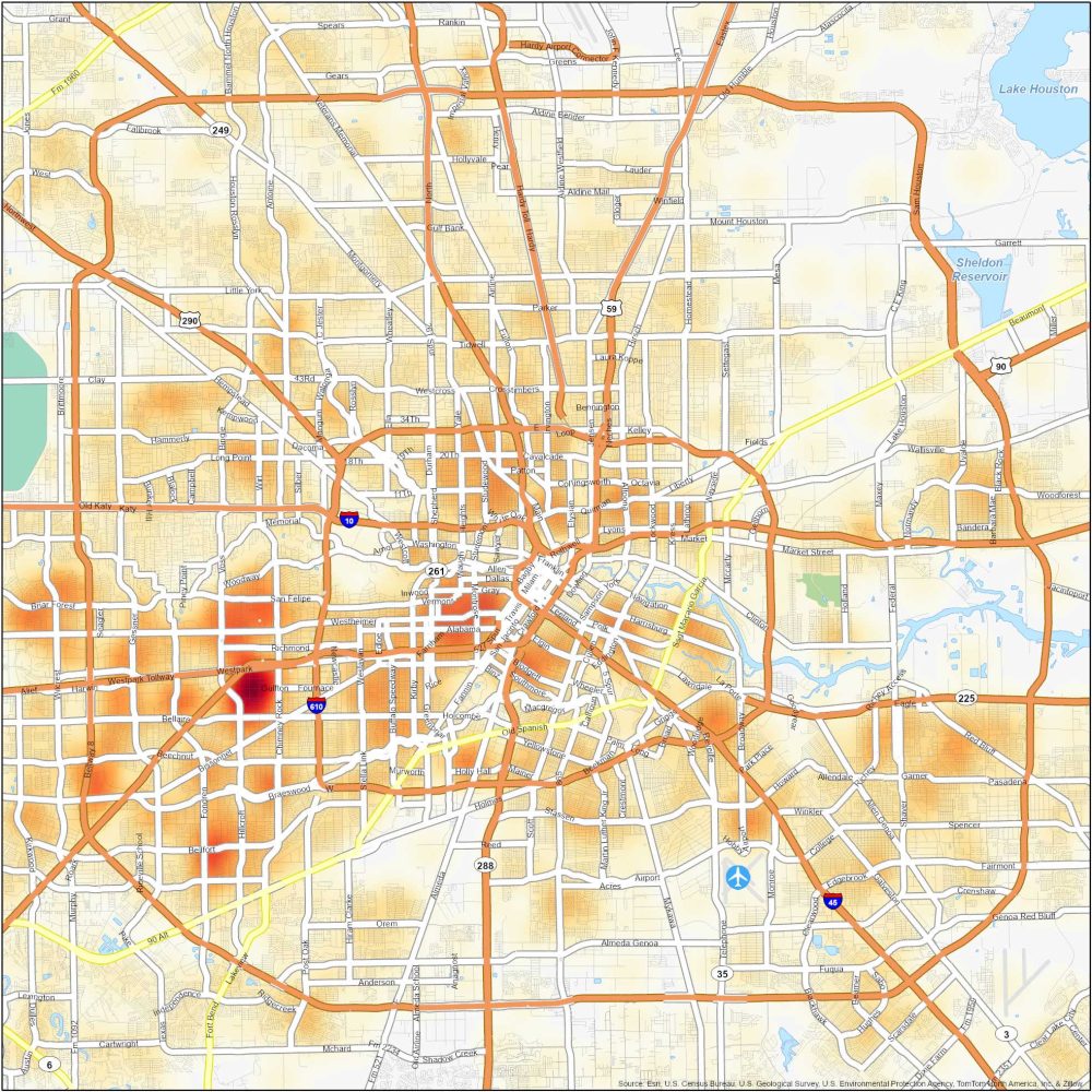
Dangerous Neighborhoods in Houston
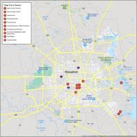
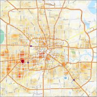
Howdy! Our Houston crime map will help you keep an eye on the crime scene in H-Town. Here are some neighborhoods that face higher crime rates.
| Neighborhood | Location | Types of Crimes |
|---|---|---|
| Sunnyside | South Houston at State Highway 288 and Beltway 8 | Things are not always sunny here as it’s seen an uptick in property crimes, burglaries, assaults, and shootings. |
| Third Ward | Southeast of Downtown. Close to Texas Southern University | Property crimes, violent incidents, and drug-related offenses. |
| Gulfton | Southwest Houston, near Interstate 69 and Bellaire Blvd | Property crimes, thefts, burglaries, and occasional assaults. |
| Near Northside | North of Downtown, along North Main Street | Property crimes, robberies, assaults, and occasional drug-related offenses. |
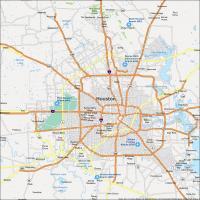
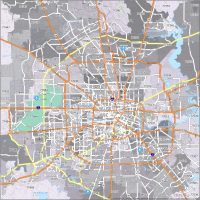
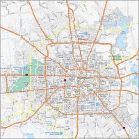
Below, you can see the greater Houston metropolitan area. You’ll find that things get a little less dangerous on the outskirts of the city. But this is mostly due to it being a less populated area.
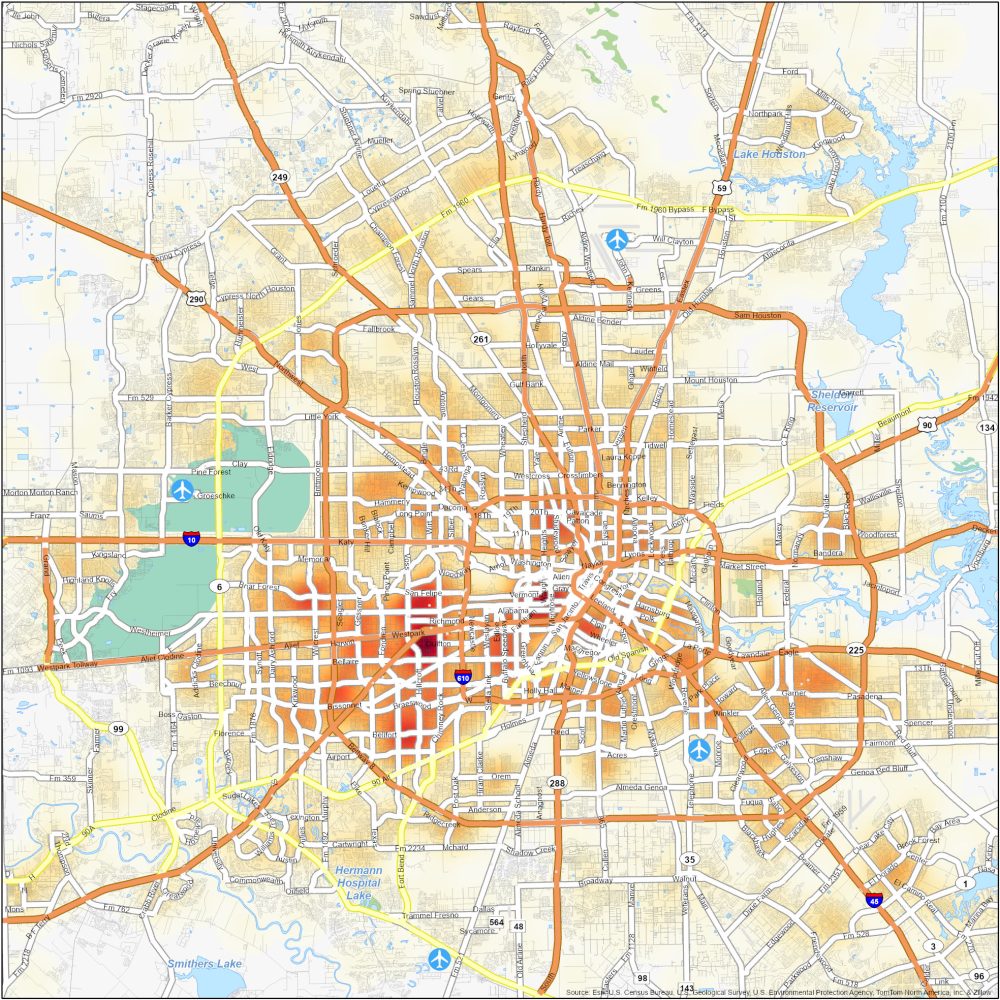
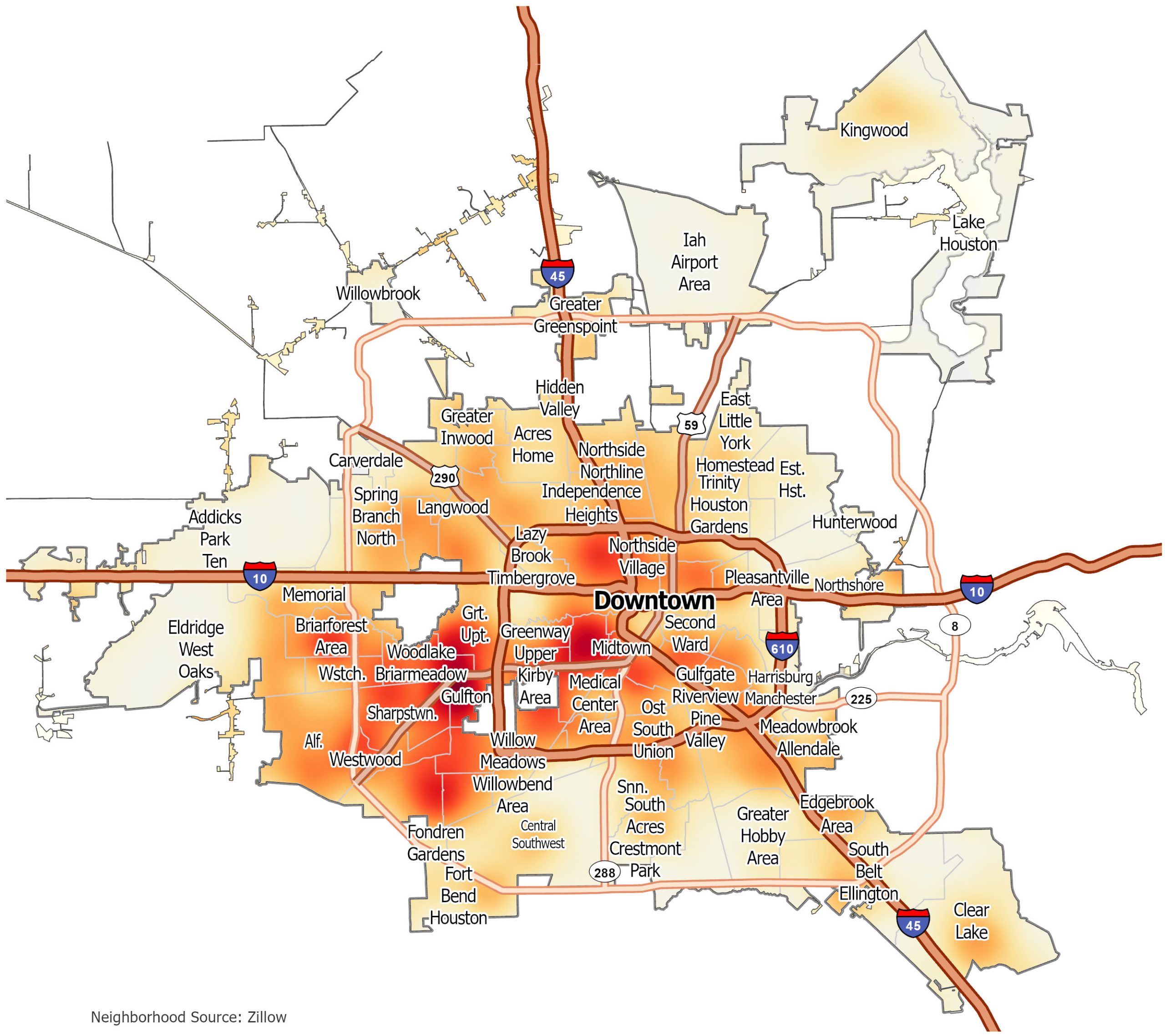
Houston Crime Map
Click on the image to see our original crime map of Houston with interstate highways and neighborhoods.
Getting ready to move back to Texas. Seeing if the neighborhood of Balkin St. is a high crime rate