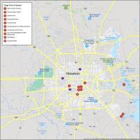
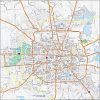
Houston Crime Map

Dangerous Neighborhoods in Houston
Howdy! Our Houston crime map will help you keep an eye on the crime scene in H-Town. Here are some neighborhoods that face higher crime rates.
| Neighborhood | Location | Types of Crimes |
|---|---|---|
| Sunnyside | South Houston at State Highway 288 and Beltway 8 | Things are not always sunny here as it’s seen an uptick in property crimes, burglaries, assaults, and shootings. |
| Third Ward | Southeast of Downtown. Close to Texas Southern University | Property crimes, violent incidents, and drug-related offenses. |
| Gulfton | Southwest Houston, near Interstate 69 and Bellaire Blvd | Property crimes, thefts, burglaries, and occasional assaults. |
| Near Northside | North of Downtown, along North Main Street | Property crimes, robberies, assaults, and occasional drug-related offenses. |
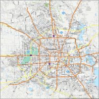
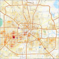
Below, you can see the greater Houston metropolitan area. You’ll find that things get a little less dangerous on the outskirts of the city. But this is mostly due to it being a less populated area.
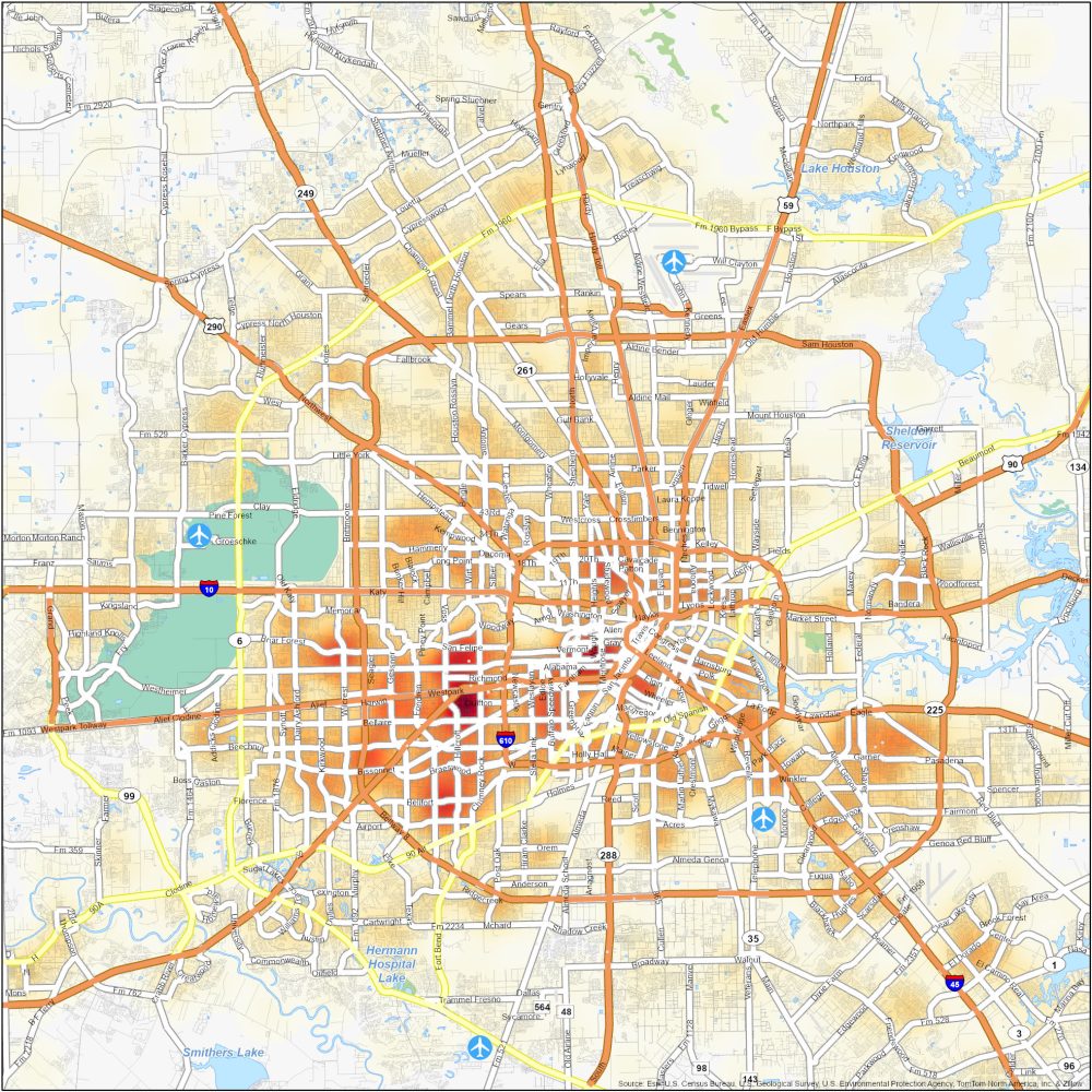
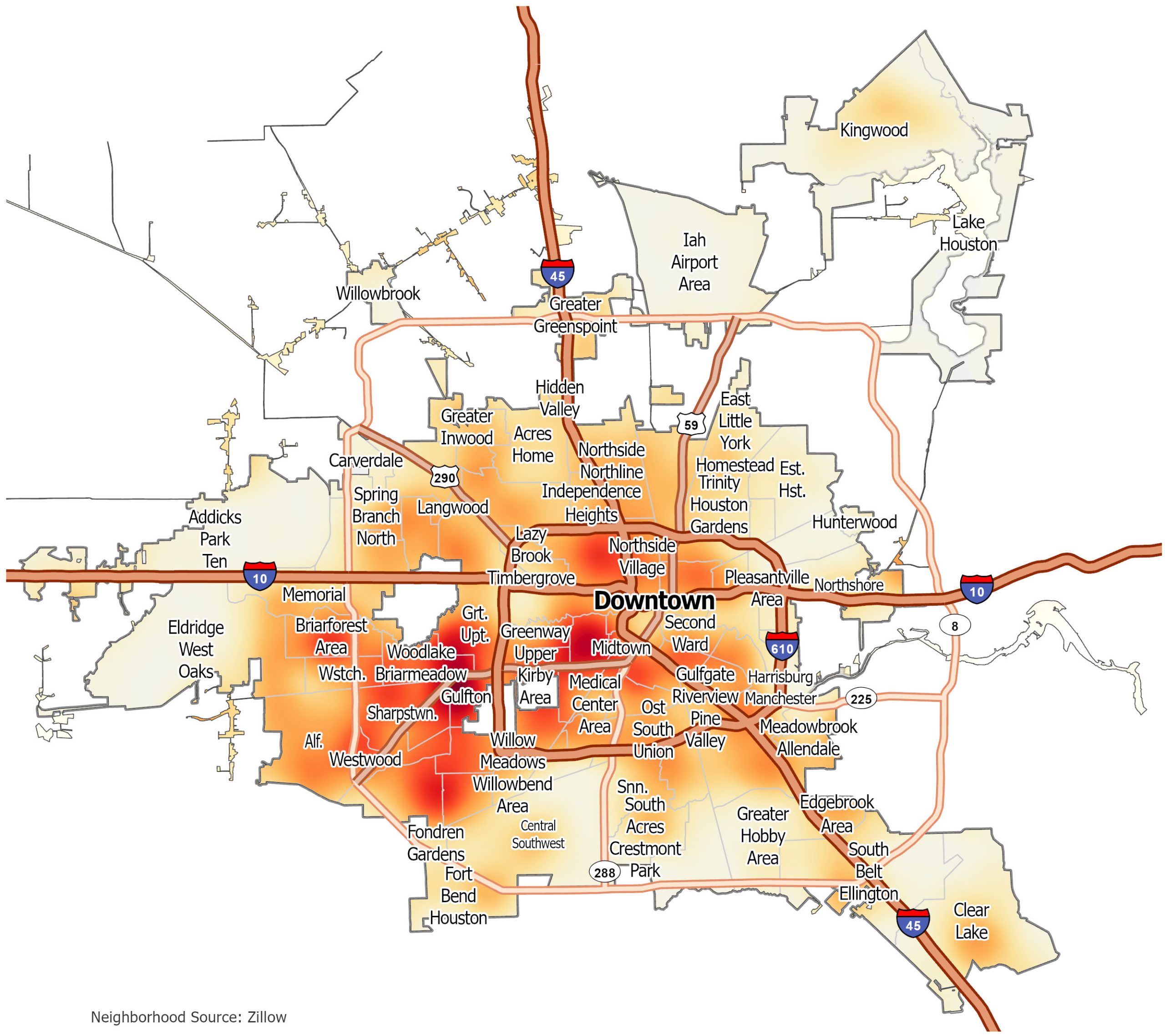
Houston Crime Map
Click on the image to see our original crime map of Houston with interstate highways and neighborhoods.