7 Free Esri Training Courses to Sink Your Teeth Into
From scripting to cartography, our list of 7 free Esri training courses and MOOC will help you build a solid foundation for your career.

From scripting to cartography, our list of 7 free Esri training courses and MOOC will help you build a solid foundation for your career.

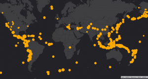
Geocaching is a treasure hunt style game using a GPS receiver. Geocaches are meaningful places that someone hand-picked to become a hiding spot.
This is an introductory tutorial on how to create a customized web map in ArcGIS Online (AGOL) to visualize, share and collaborate on the web.
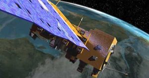
Despite popular belief MODIS is a satellite, it’s actually an instrument on-board a satellite. It has 36 bands, 250-1000 meter resolution and 2-day revisits.

Geometric networks in GIS enable connectivity between lines on a map, supporting network analysis by establishing a linear flow and routing.

Topographers face an uphill battle of a changing geography. These are the top 10 topographic maps built to meet the challenge of accuracy and completeness.
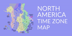
A North America time zone map with the eight time zones of Canada and the United States such as Eastern, Central, Mountain, Pacific, etc.
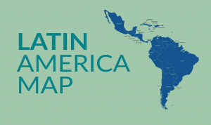
A Latin America map that features North and Central America, South America, and Caribbean map collections of each country and region.

These are the top 25 satellite maps in the world. The best part? You’ll get to explore Earth in new ways that you’ve never thought possible.

A list of the 50 most iconic satellites put up into space to monitor our planet. We show the uses and types of satellites like weather and GPS satellites.