7 Free World Climate Data Sources
World Climate Data Sources
The expression goes: “You can’t manage what you can’t measure”. And for measuring climate, it’s world climate data that is a benchmark for the health of our planet.
You may be wondering:
Where can I find the best world climate data sources? Glad you asked. Because today we list the top 7 world climate data sources.
It gets better:
Each climate data source provides a geographic component to it. Because the climate is a spatial problem, it requires spatial thinking.
So climate change believers (and non-believers), let’s dive right in and explore the data behind our planet’s climate.
READ MORE: Climate Change Effects Explained in Maps
1. NASA Earth Observatory
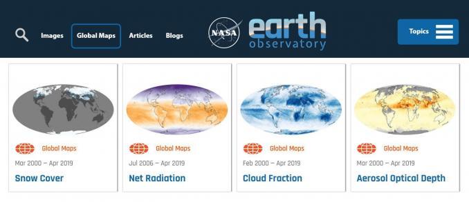
The leading climate experts reveal their massive collection of Earth science data. It’s through the NASA Earth Observatory that anyone can track 16 climate factors such as aerosols, temperature, and carbon all the way back to 1999.
The best part is how NASA makes it easily understandable for the public to consume. If you’re looking for another flavor to study our planet from space, check out NASA Earth Observations (NEOs).
- Carbon monoxide
- Chlorophyll
- Cloud fraction
- Fires
- Net primary production
- Net radiation
- Ocean temperature
- Rainfall
- Snow cover
- Temperature
- Water vapor
- Vegetation
2. European Space Agency Climate Change Initiative (CCI)
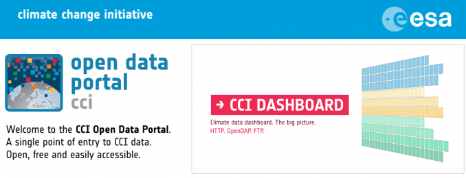
There’s been an enormous push to track our changing climate in Europe. After all, it’s the Copernicus Mission that dedicated an entire fleet of satellites to measuring our climate from space. The European Space Agency Climate Change Initiative (CCI) leverages 40 years of satellite observations, by merging past mission data.
- Aerosols
- Biomass
- Clouds
- Fires
- Greenhouse gases
- Glaciers
- Ice sheets
- Land cover
- Lakes
- Ocean color
- Ozone permafrost
- Salinity
- Sea levels
- Snow
- Soil moisture
- Temperature
- Water vapor
3. UNEP Environmental Data Explorer
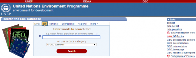
In the grand scheme of things, the United Nations is the global leader in building a cooperative environmental agenda for the world to embrace. Yet somehow, data seekers overlook the enormous wealth of climate change data from the United Nations Environment Program (UNEP). The UNEP Environmental Data Explorer holds more than 500 different variables for the world to explore.
- Agriculture
- Carbon dioxide emissions
- Disasters
- Endangered species
- Energy
- Greenhouse gases
- Living planet index
- Methane emissions
- Nitrous oxide emissions
- Population
- Protected areas
4. US Government Open Data Initiative
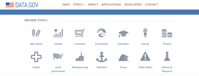
In total, 377 climate datasets reside in the US government’s open data initiative. But that’s not it. In order to meet the challenge of a changing climate, the US Climate Resiliency toolkit simplifies the process of building resilient communities.
For example, you can access environmental vulnerabilities by obtaining climate projections for the year 2100. By searching your zip code in the Climate Explorer, you can understand your risk and better protect your investments further down the road.
- Arctic
- Coastal flooding
- Ecosystem vulnerability
- Hazards
- Severe weather
- Tribal nations
- Water resources
5. FAO GeoNetwork
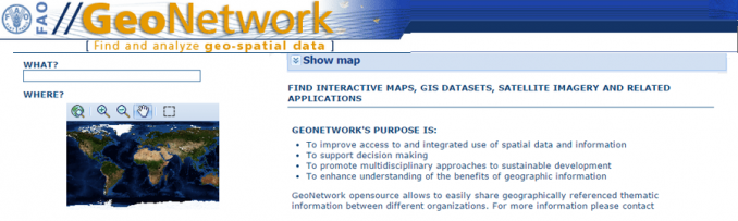
The Food and Agriculture Organization of the United Nations Geographic Network (FAO GeoNetwork) consists of 247 climate data sets. All data is spatial in nature.
Not only does FAO GeoNetwork provide a wide range of spatial data, but it also covers satellite imagery, interactive maps, and related applications.
- Biodiversity hotspots
- Koeppen climate classification
- Cropland expansion
- Deforestation
- Carbon sequestration
- Protected areas
6. NASA’s Socioeconomic Data and Applications Center (SEDAC)
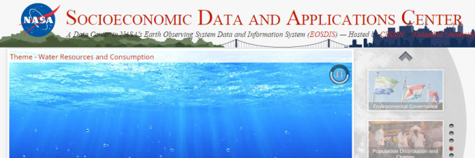
NASA’s Socioeconomic Data and Applications Center (SEDAC) is all about human interactions with the environment. Even though it’s best for understanding anthropogenic effects, NASA SEDAC delivers 123 datasets related to conservation and climate.
- Deforestation
- Drought
- Environmental performance index
- Human footprint
- Species richness
- Sea level rise impacts
- Sustainability index
7. Organisation for Economic Co-operation and Development (OECD)
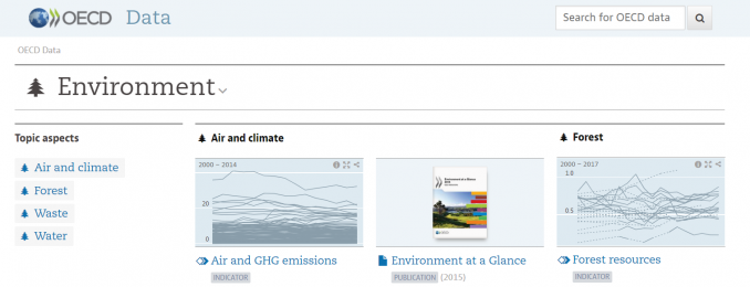
There’s one remaining source of environmental data that we haven’t discussed. And it may be the most powerful source of all. The purpose of the OECD is to build better policies and a better place for tomorrow.
As it turns out, environmental policies need global cooperation. So at the forefront of OECD is its knowledge hub for climate data analysis (among others).
- Forest resources
- Greenhouse gases
- Green households
- Population
- Waste
- Water withdrawal
Conclusion
How do we gauge the climate change trajectory that we’re currently in?
We measure it with these 7 free world climate data sets that we have readily at our fingertips.
From the United Nations and NASA to the European Space Agency, you now have a monopoly on climate data.
Did we miss any other essential free world climate data sources?
Please let us know with a comment below.


I got a lot of information from all these data sources. Thank You.
Thank you
This site may enable us to access weather and climate data of the world. Hence keep it up.