The 50 Most Influential Satellites in Remote Sensing

The BIG Satellite List
Join us on a journey through space and technology as we list the remarkable satellites that have paved the way in remote sensing.
From weather forecasts to precise positioning, here are the 50 most iconic satellites orbiting in space.
Let’s get started.
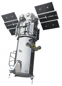
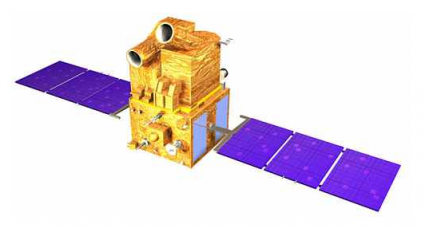
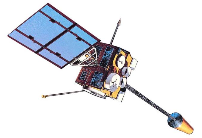
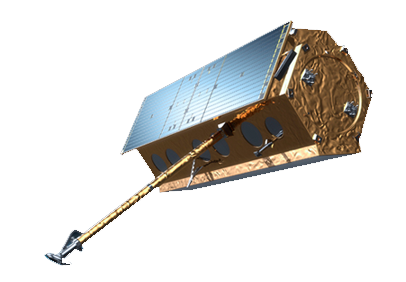
1. Landsat
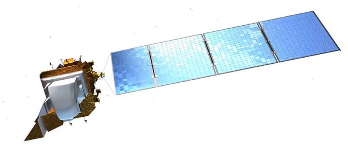
Landsat’s incredible long-lived legacy has archived Earth’s history for over 40 years. With countless applications, it even found the island Landsat in Canada.
Image Credit: NASA
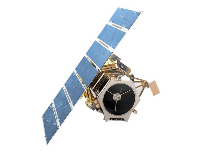
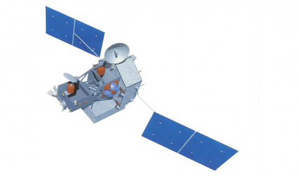
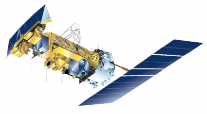
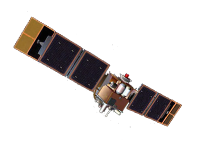
2. Sentinel
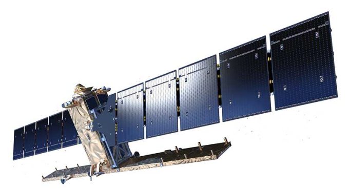
As part of the Copernicus Programme, Sentinel’s fleet of 6 missions is a game changer. Specifically, Sentinel-2 is a clear upgrade to Landsat, except that it’s missing the thermal band.
Image Credit: ESA
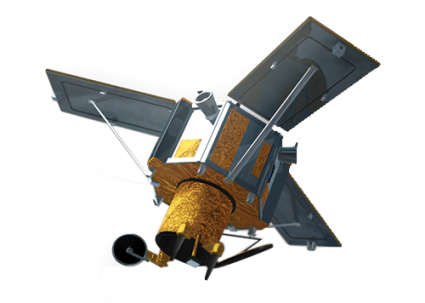
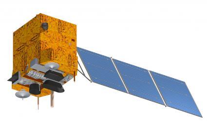
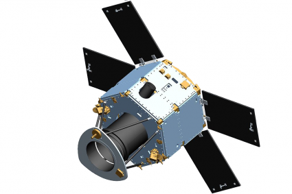
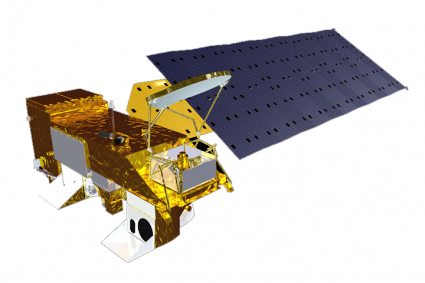
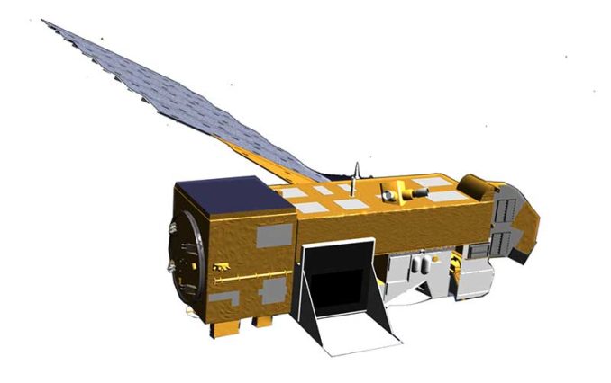
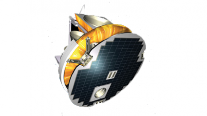
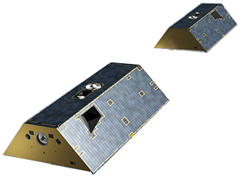
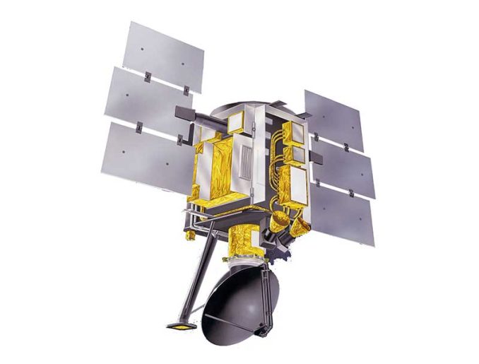
4. EnviSAT
Before losing contact in 2012, EnviSAT did it all. For instance, it studied the oceans, terrain, and atmosphere. But now, it’s not operational. Because of its massive frame (8 tons), it is a candidate to be removed from orbit.
Image Credit: Airbus & Defense/ESA
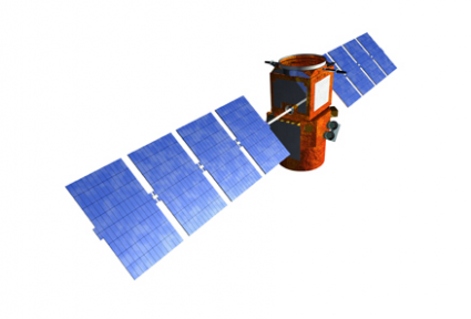
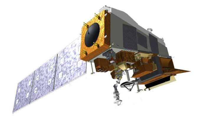
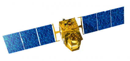
5. Worldview
Maxar’s cutting-edge high-resolution satellite is ridiculously crisp (31 cm). Worldview imagery is so sharp that you can almost see license plates. In fact, it’s the only commercial satellite that can deliver at this resolution.
Image courtesy © 2020 Maxar
6. PlanetScope (Dove)
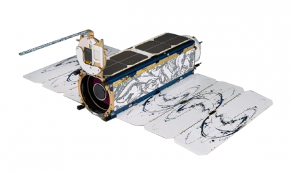
Planetscope is a low-cost, lightweight, and low orbit from the company called Planet. This orchestra of microsatellites (nicknamed doves) orbits the Earth in concert scanning at 3-5 meter resolution images.
Image Credit: Planet
7. Global Navigation Satellite System (GNSS)
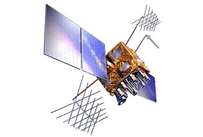
When you enable location on your smartphone, you’re tapping into GNSS. Every day, our GPS receivers leverage the 35-satellite system to pinpoint our exact position on Earth.
Image Credit: NASA/JPL
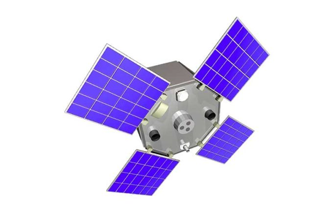
8. Shuttle Radar Topography Mission (SRTM)
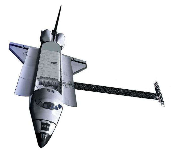
SRTM sculpted a 30-meter terrain model of Earth using two radar antennas and interferometry. Onboard the space shuttle Endeavour, it only needed 11 days to collect the necessary data.
Image Credit: NASA/JPL
9. Corona
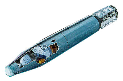
The Corona satellite was a strategic, James Bond-style military satellite in the 1960s that spied on the Soviet Union. But now, archaeologists and other interest groups freely use these declassified images.
Image Credit: National Reconnaissance Office
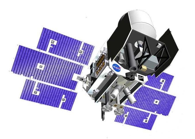
10. Earth Observing-1 Mission (EO-1)
The goal of Earth Observing 1 (EO-1) was to propel science and innovation through experimental instrumentation. For example, Hyperion produces 220 spectral bands which enabled us to better characterize minerals.
Image Credit: NASA
11. Satellite Pour l’Observation de la Terre (SPOT)
In 1986, France’s SPOT-1 satellite was cutting edge. Since then, it has captured Earth’s vegetation, elevation, and even the Chernobyl disaster.
Image Credit: Centre National d’Etudes Spatiales CNES
12. RADARSAT
Radarsat-2 is Canada’s space radar monitoring mission. As part of the Radarsat Constellation Mission, 3 C-band satellites will hone in on the Great White North’s land mass.
Image Credit: © Canadian Space Agency
13. IKONOS
IKONOS was a satellite marvel in its time. In fact, it was the first commercial satellite that was granted a license in America. But IKONOS-1 never made it to space. IKONOS-2 did and was renamed IKONOS.
Image courtesy © 2020 Maxar
14. Quickbird
QuickBird is versatile and cost-effective delivering optical imagery at 60cm. But in 2015, it was decommissioned and no longer serves the community.
Image courtesy © 2020 Maxar
15. RapidEye
RapidEye originated in Germany. Then, BlackBridge purchased it. Now, it’s owned by Planet. Despite several owners, this 5-satellite constellation provides 5-meter resolution anywhere at least daily.
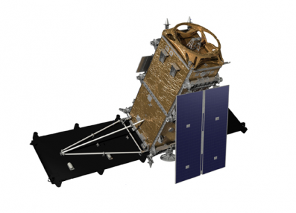
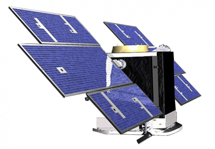
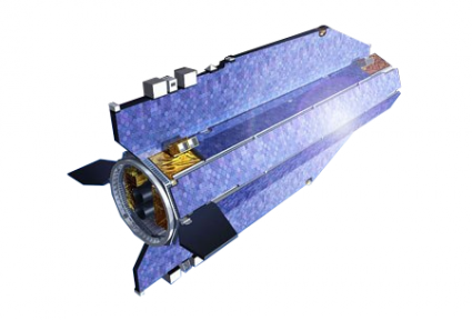
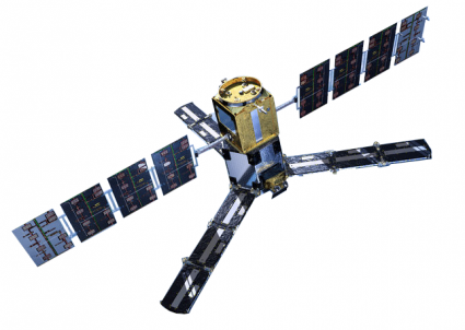
16. Pleiades
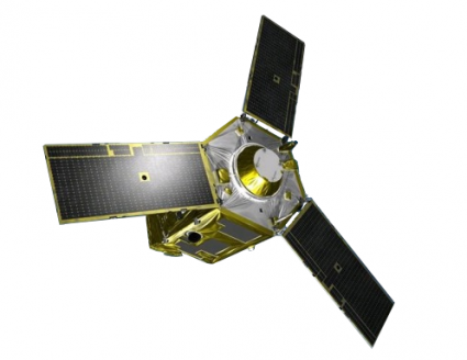
Pleiades consists of 2 nimble satellites operating in the same orbit. With incredible detail (2-meter), it can scan the Earth in any direction
Image Courtesy of ESA/Airbus & Defense
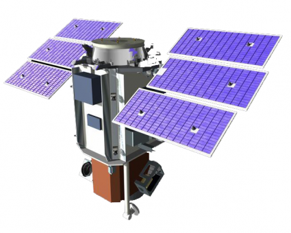
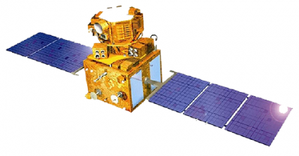
17. China-Brazil Earth Resource Satellite (CBERS)
China and Brazil unite in a joint quintuple mission to monitor everything from agriculture, environment, water pollution, and urban planning in their respective countries.
Image Credit: CBERS/INPE
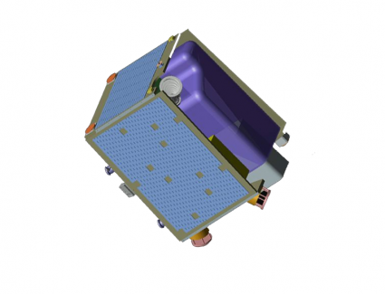
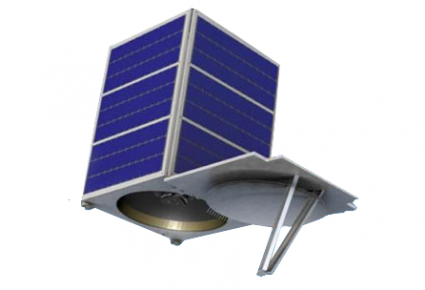
18. Project for On-Board Autonomy (PROBA)
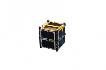
PROBA is a micro, cube-looking satellite with 30-meter hyperspectral data. Using its dextrous viewing angles, the PROBA satellite produced the world-renowned global vegetation archive.
Image Credit: ESA
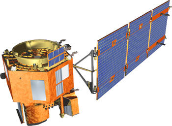
19. ResourceSAT
Originally named IRS, ResourceSAT is an Indian polar-synchronous satellite. For ship surveillance, it’s equipped with an Automatic Identification System (AIS) payload.
Image credit: ISRO
20. KOMPSAT
Also known as Arirang, this optical satellite provides 1-meter resolution imagery. It’s rumored to monitor North Korean military activities. But it’s also available for commercial purposes.
Image copyright © Korean Aerospace Research Institute KARI
21. CartoSAT
The Indian cartography series of commercial satellites collect land information with multispectral, panchromatic, and stereo mapping capabilities.
Image Copyright © ISRO
22. GeoEye
Maxar’s high-resolution (1.65-meter) imaging satellite is so sharp that ecologists have used it to track animal populations. Google also has rights to the imagery so there’s no coincidence that it’s also used in Google Maps.
Image courtesy © 2017 Maxar
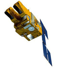
23. Disaster Monitoring Constellation (DMC)
DMC masters disaster monitoring with its highly responsive, humanitarian constellation. It consists of AISAT-1, BilSAT, NigeriaSAT, UK-DMC, Beijing-1, Deimos-1 and NigeriaSAT.
24. SkySat
SkySat is the type of gadget James Bond uses to spy on super-villains. In fact, it’s the first and only capable of capturing video footage at sub-meter resolution.
Copyright © SkyBox Imaging. All rights reserved.
25. Tropical Rainfall Measuring Mission (TRMM)
TRMM examines cloud structure and precipitation mostly at the equator. Because of TRMM, scientists can better predict global energy balances, water cycles, and El Niño.
Image Credit: NASA
26. Geostationary Operational Environmental Satellite (GOES)
GOES knows weather. Since 1975, this geostationary squad of satellites are unsung heroes in forecasting our planet’s weather.
Image Credit: NASA;
27. National Oceanic and Atmospheric Administration Satellite (NOAA)
NOAA satellites enable us to get a complete view of weather and environmental conditions around the world each day.
Image Credit: NASA
28. METEOSAT
Meteosat is the geostationary observer in Europe and Africa. By beaming images of Europe’s weather every 15 minutes, it’s ideal for weather forecasting.
Image Credit: ESA
29. Aqua
Aqua is NASA’s multi-purpose satellite. Not only does it tap into Earth’s water cycle by measuring relative humidity (AIRS/AMSU), but it also estimates cloud height (CERES) and energy flux (AMSR-E).
Image Credit: NASA
30. Cloud-Aerosol Lidar and Infrared Pathfinder Satellite Observations (CALIPSO)
Using laser technology and a special sensor for cirrus cloud, CALIPSO graphs the vertical profiles of cloud structure.
Image Credit: NASA
31. Television Infrared Observation Satellites (TIROS)
In the 1960s, TIROS was instrumental in sending early storm warnings. Specifically, this low-Earth orbiting satellite was built for televising infrared weather observations.
Image Credit: NASA
32. CloudSAT
With its head in the clouds, this satellite profiles its vertical billowing formation with radar. It’s key for understanding the atmospheric and hydrological cycles because of the influence clouds have on weather and climate.
Image Credit: NASA
33. Aura
Aura is NASA’s satellite dedicated to uncovering air quality and climate health. For example, its 4 instruments (HIRDLS, MLS, OMI & TES) measure trace gases, temperature, and aerosols in the upper atmosphere.
Image Credit: NASA
34. Suomi
Suomi orbits the poles for the purpose of weather forecasting, land and ocean studies. Throughout history, it’s captured views of monstrous tornadoes and supercells.
Image Credit: Copyright © NOAA
35. Polar-orbiting Operational Environmental Satellites (POES)
NOAA’s polar-orbiting meteorological satellite (POES) has taken some of the mystery out of atmospheric phenomena with high spatial and temporal resolution images.
Image Credit: NOAA
36. Soil Moisture Active Passive (SMAP)
SMAP is equipped with a pair of active and passive sensors to measure fine-scale global soil moisture. Due to a sensor malfunction, it’s all passive similar to SMOS.
Image Credit: NASA
37. SciSAT
SciSAT creeps through the shadows of Earth. Only on the dark side of Earth, it can record the depletion of ozone. That’s why it’s nicknamed the nightcrawler satellite.
Image Credit: Canadian Space Agency
38. ACRIMSAT
The solar-monitoring ACRIMSAT performed experimental studies for solar irradiance. In fact, it recorded a 0.1% reduction in solar intensity caused by the Venus shadow in 2004.
Image Credit: NASA/JPL
39. Megha-Tropique
Megha-Trophique will cruise the tropics to better understand the global water cycle. As part of the Global Energy and Water Cycle Experiment (GEWEX), it aims to study climate change.
Image Credit: ESA
40. IceSAT
Ice Sat has made over 904 million measurements of the Earth’s surface. In fact, it was the first space-borne laser altimeter (GLAS) to capture everything from forest heights to ice thickness.
Image Credit: NASA/JPL-Caltech
41. Gravity Recovery and Climate Experiment (GRACE)
This satellite tag team chases each other in the same orbit. By measuring each other’s tiny shifts, they know where gravity pull is stronger on Earth.
Image Credit: NASA/JPL
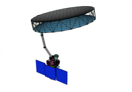
42. Gravity Field and Steady-State Ocean Circulation Explorer (GOCE)
GOCE specializes in measuring Earth’s gravity field and ocean behavior with unprecedented detail. By using highly sensitive gradiometers and accelerometers, it accomplishes this feat.
Image Courtesy of ESA/Airbus & Defense
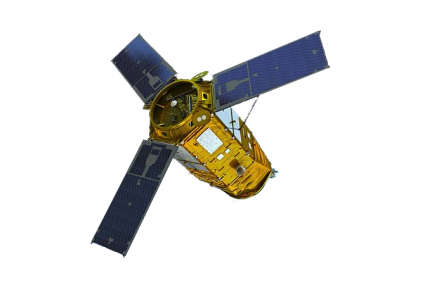
43. Magnetospheric Multiscale Mission (MMS)
MMS specializes in the magnetosphere. A tetrahedral formation consists of four identical space crafts. In unison, they map the interaction between the sun and Earth’s magnetic field.
Image Credit: NASA
44. Advanced Land Observation Satellite (ALOS)
ALOS-1 sculpted the world’s most precise elevation model at 5-meter resolution. Now, ALOS-2 has several upgrades such as L-band PALSAR radar and stereo mapping (PRISM).
Image Credit: JAXA
45. TerraSAR (TanDEM-X)
TerraSAR and TanDEM-X are twin German satellites. In tandem, they carved out the unrivaled WorldDEM using X-band radar. Now, we use it for disasters, earthquakes, and the environment.
Image Courtesy of Airbus & Defense
46. Mars Orbiter Laser Altimeter (MOLA)
MOLA is the reigning monarch of Mars. By scanning the topography, this interplanetary mission has found ancient river beds weaving through the Martian surface.
Image Credit: NASA
47. Joint Altimetry Satellite Oceanography Network (JASON)
JASON’s altimeter is responsible for mapping ocean floor bathymetry. This upgraded version of TOPEX/Poseidon monitors rising sea levels, which is a by-product of climate change.
Image Credit: NASA
48. SeaStar (Orbview-2)
Biologists use SeaStar to quantify color change from chlorophyll produced by marine plants. Like Sea-Viewing Wide Field-of-View Sensor (SeaWIFS), it’s key for ocean biology.
Image Credit: NASA
49. QuickSCAT
Surfers choose QuickSCAT because its purpose is to measure sea winds and direction. But only for ice-free oceans does its scatterometer work.
Image Credit: NASA
50. Soil Moisture and Ocean Salinity (SMOS)
SMOS weighs in on soil moisture and ocean salinity through its coarse passive instrumentation. Overall, it enhances our knowledge of both land and ocean processes.
Image Credit: ESA
Conclusion
There are hundreds of remote sensing uses and applications that are being tied into the world we live in.
For example, we best understand weather, navigation, gravity, climate change, and the magnetosphere from space.
As we launch each meticulously planned space mission, we can cover that much more ground.
What Earth observation satellite did we miss?
Let us know with a comment below.


I think you forgot to put Sputnik
Wow! That was a great number of high-technological products… But we still yet don’t have one for finding and tracking ALIENS
Very nice and thorough list. I just wished you would add a bit more detail on the advantage’s of the satellites. But otherwise, Great Job!
This was helpful anyway
I am astonished by most of the types. Very interesting and intriguing! My first time seeing such satellites. Thank You
You have included IRS and CartoSAT as commercial satellites which is not correct. Data from satellites are freely available on Bhuvan website.
That sounds nice.
I need your help anyone of you. I am a freshman stundet in GIS and Remote sensing. If possible, I want to talk with email about these courses as I am interested in these courses, too.
Would like to suggest a correction. GeoEye is owned by DigitalGlobe Corporation, not by Google or its parent company. The rights to use the GeoEye data are secured by Google.
Yes, that is correct. Thanks, I fixed it.
Do I know which satellites can penetrate buried items like gold, silver, diamonds etc….
It is great information about satellites. Thanks so much.
You might want to include ICESat-2 also. The data is looking really good.
Thank you very much for this valuable compilation. Appreciate if this can be made available as a pdf doc.
This is a great satellite research tool!
Thanks for your good teachings
Valentina is correct. The images are resampled to 50cm.
Pleiades actually has 70 cm resolution and is resampled to 50 cm.
Pléiades is 50cm resolution and not 2 meters. Very interesting list though!
Nice list… but there is no ice-cream flying around! The GRACE satellites are called TOM & Jerry ;-)
Hahaha. Thanks! I’ve fixed the article.
Which of the many satellites, can show me images like the LiDAR images I found, where they discovered 4400-year-old villages for example?
Meaning which one is used for land and or water discovering purposes. I like to find something like that too in my or any area, who knows what else is still somewhere hiding beneath my feet. How can I do it anyway, what do I need to find something special, or what about finding treasures of gold and silver or stuff like that, perhaps some caves? Anything would be great to discover and finally, how much is stuff like that to buy such laser measuring devices I mean. Can I afford it if not can I join somebody to be able to use it can I get paid for it maybe? I like to know any and all of this questions if anybody has and can and will respond to me?
In terms of satellite data, you might be interested in GLAS laser altimeter. But it probably won’t provide the resolution you need. Either way, best of luck! https://attic.gsfc.nasa.gov/glas/
Probably you can add 1 or 2 Soviet / Russian ones. And you have Corona, but not Key Hole or other defense programs?
Excellent list!
Excellent compilation! Even as a remote sensing specialist, there were some I had not heard of.