Branson Missouri Map
Map of Branson
This Branson map collection shows roads/highways, places of reference, and things to do. Plus, it includes an interactive map provided by Google Maps so you can explore the tourist hub of Missouri.
They say Branson Missouri is like Las Vegas for old people. In a way, this is true as it’s a top destination spot for seniors. But it also goes to show that there’s no age limit for having fun.
Branson is a city of historic and modern entertainment, located along Table Rock Lake in southern Missouri. For many years, Branson has been known as a major tourist destination with its natural beauty and year-round attractions.
Jump To: Interactive Map | Printable Road Map | 10 Things to Do | Reference Map
Branson map collection
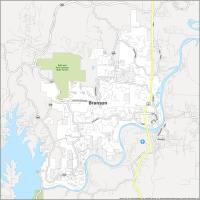
Interactive Map of Branson
Branson is a city in Missouri with world-class attractions, festivals, and live entertainment. It also has over 40 theaters and 80 shows. Branson offers something for everyone, from thrilling roller coasters to relaxing spas. So, are you planning a family vacation? Then, use this interactive map of Branson to explore the popular tourist destination.
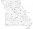
Branson Road Map
Before you go to Branson, it’s important to know all the major landmarks. Learn more with our handy guide. You’ll find major highways and roads to help you get around the city. If you’re traveling outside Branson, make sure to print this road map of Missouri to help you get where you want to go.
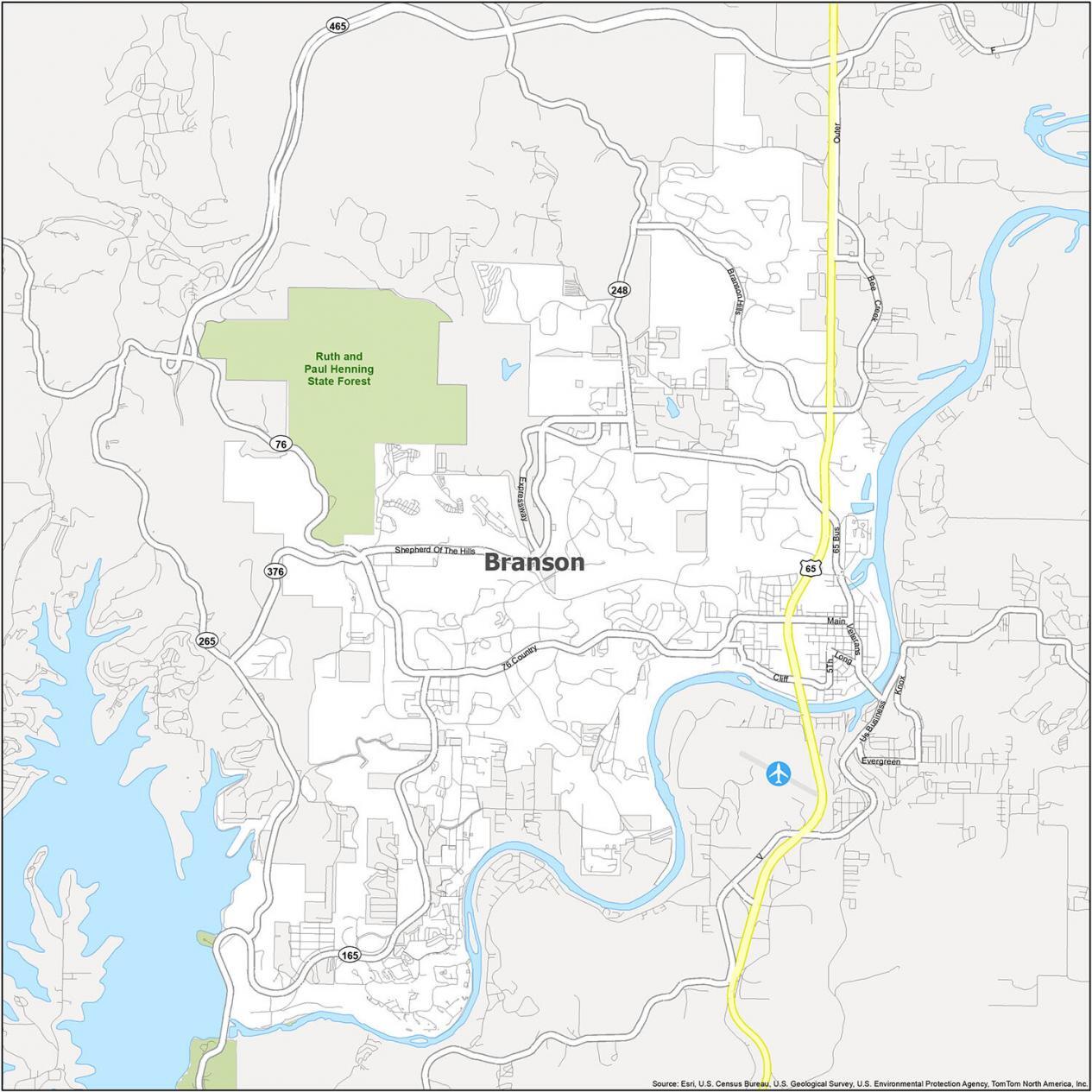
US Highways: 65, 76, 165, 248, 265, 376
Major Roads: Country Blvd, Main St, Veterans Blvd
Parkways/Expressways: Shepherd Of The Hills Expy, Branson Hills Pky
Roads: 5th St, Bee Creek Rd, Branson Landing Blvd, Cliff Dr, Long St, Roark Valley Dr, Stanley Blvd, Veterans Blvd
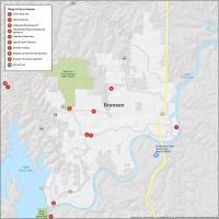
10 Things To Do in Branson
Branson is not just about its live entertainment like theaters, concert halls, and museums. But it also has zoos, parks, and lakes that are perfect for outdoor activities. One of the most popular attractions for visitors is Silver Dollar City. This amusement park is west of downtown. Otherwise, other popular attractions here are Branson Landing and the Aquarium at the Boardwalk.
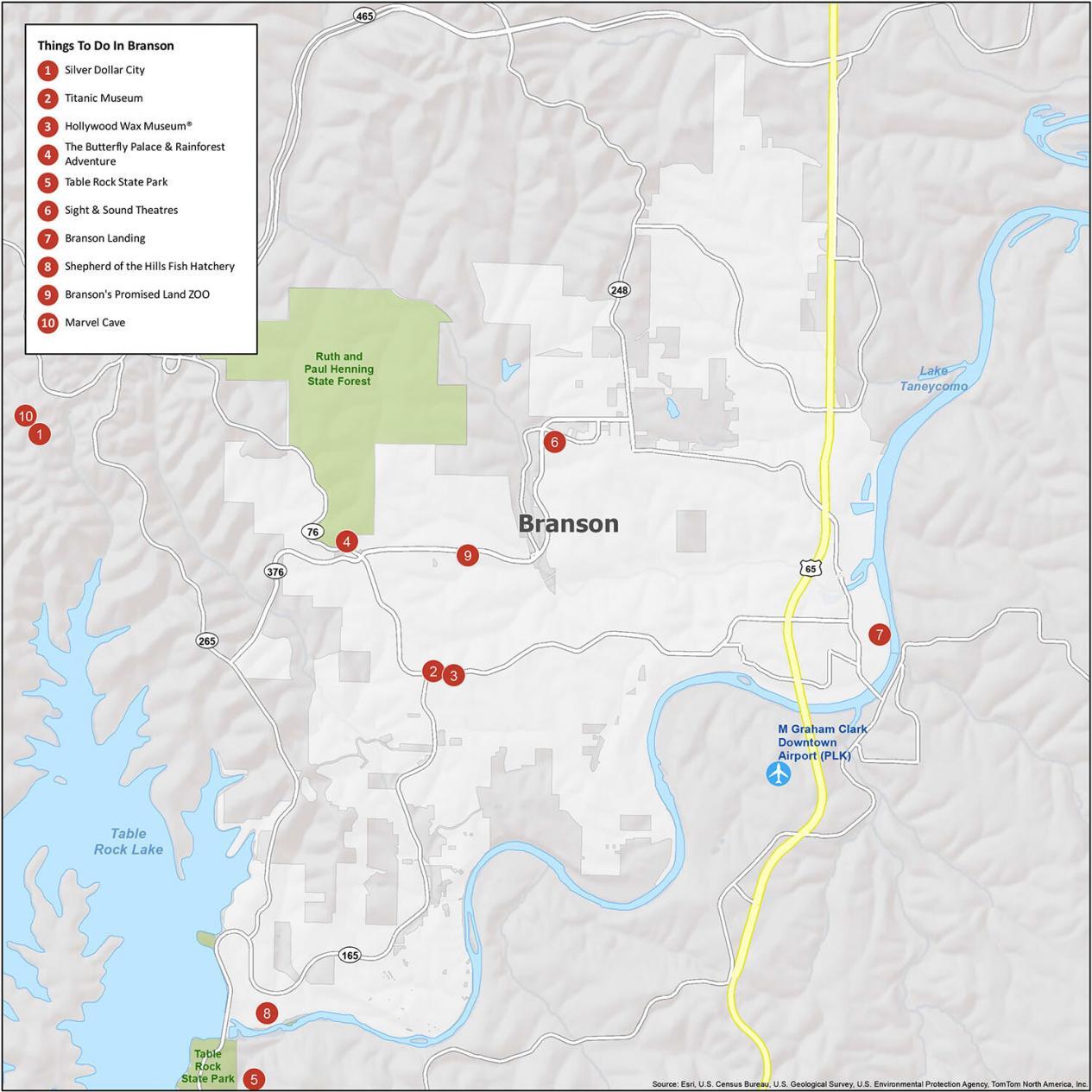
- Silver Dollar City
- Titanic Museum
- Hollywood Wax Museum®
- The Butterfly Palace & Rainforest Adventure
- Table Rock State Park
- Sight & Sound Theatres
- Branson Landing
- Shepherd of the Hills Fish Hatchery
- Branson’s Promised Land Zoo
- Marvel Cave
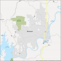
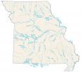
Branson Reference Map
No matter where you come from, there is a good chance that you will find yourself in Branson, Missouri at some point. This small city has the perfect blend of natural beauty and entertainment. Here is a general map of Branson for getting around.
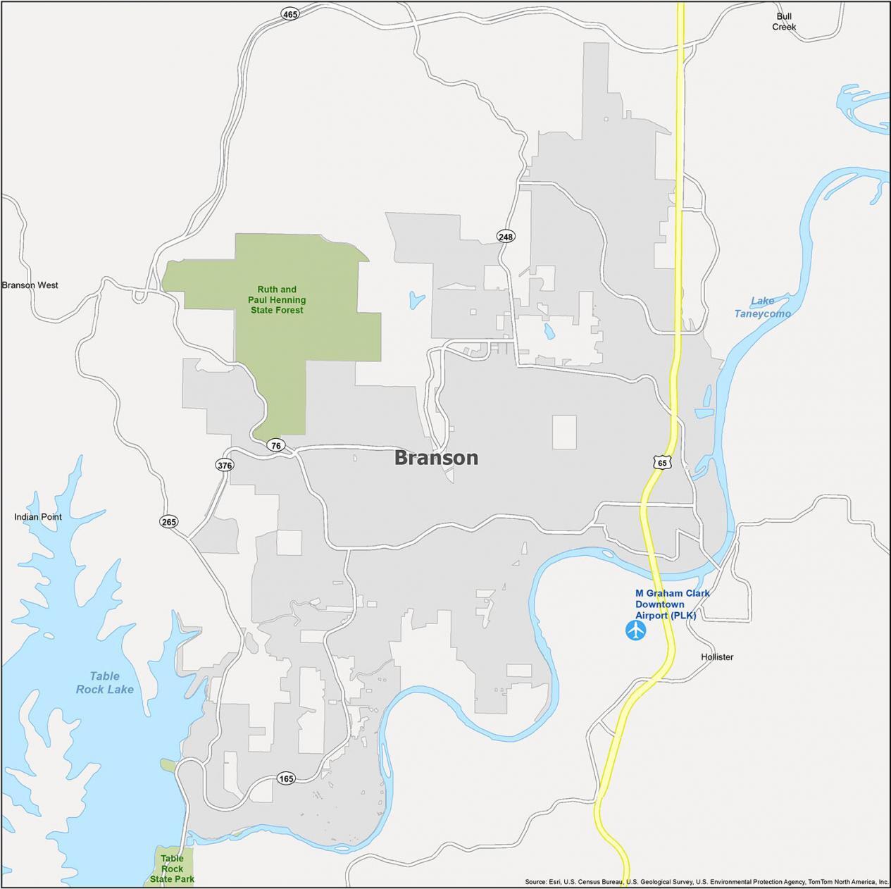
Airport: M. Graham Clark Downtown Airport (PLK)
Cities: Branson, Branson West, Hollister
Villages: Bull Creek, Indian Point
Reservoirs: Table Rock Lake, Lake Taneycomo
I like where you show the different routes into Branson and through there, although the maps are a little outdated because Highway 76 doesn’t use the strip anymore. 76 absorbed Highway 465 on the Ozark Mountain Highroad, and 376 absorbed 76 from the Ozark Mountain Highroad to Shepard of the Hills Expressway. Also most of the routes are Missouri State Highways, the only US Route is 65. Overall it is a very good information source.