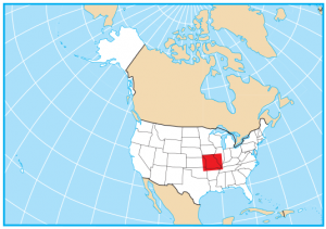
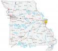
Missouri State Map – Places and Landmarks
About the map
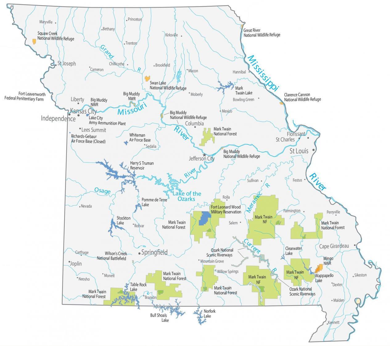
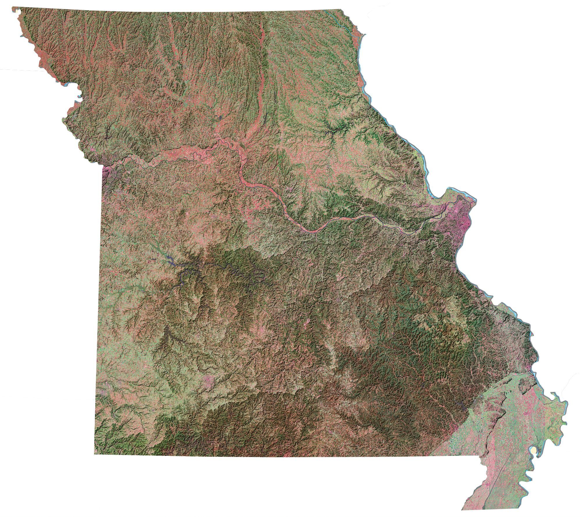
Our Missouri State Map shows major landmarks and places in Missouri. For example, you’ll find national forests, parks, wildlife refuges, and federal lands.
If you’re into hiking, Mark Twain National Park is an absolute stand-out in Missouri. It is comprised of 1.5 million acres of forested area, named for author Mark Twain who was born in Missouri. In total, Missouri is home to six national wildlife refuges.
There’s a lot more to Missouri than meets the eye. Ozark National Scenic Riverways was the first national park area to protect a river system. It includes both the Current and Jacks Fork Rivers. Next, Wilson’s Creek National Battlefield was the first major Civil War battle fought west of the Mississippi River.
Missouri map collection
You are free to use our map of Missouri for educational and commercial uses. Attribution is required. How to attribute?
Federal lands
National Forests (NF)
Mark Twain National Forest
National Wildlife Refuge (NWR)
Squaw Creek NWR
Great River NWR
Swan Lake NWR
Mingo NWR
Big Muddy NWR
Clarence Cannon NWR
Other Landmarks
Harry S Truman Reservoir
Ozark National Scenic Riverways
Wilson’s Creek National Battlefield
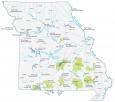
Missouri lakes, rivers and reservoirs
Lakes and reservoirs
Mark Twain Lake
Pomme de Terre Lake
Stockton Lake
Norfork Lake
Bull Shoals Lake
Table Rock Lake
Wappapello Lake
Clearwater Lake
Lake of the Ozarks
Rivers and streams
Missouri River
Mississippi River
Osage River
Meramec River
Current River
Grand River
Army, naval and military
Richards-Gebaur Air Force Base (Closed)
Whiteman Air Force Base
Fort Leonard Wood Military Reservation
Fort Leavenworth Federal Penitentiary Farm
Lake City Army Ammunition Plant
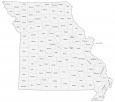
Missouri Map – Landmarks and places
St Louis
Springfield
Jefferson City
Cape Girardeau
Columbia
Joplin
St Charles
St Joseph
Lees Summit
Florissant
Liberty
Independence
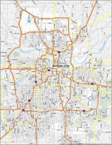
Kansas City
Bethany
Bolivar
Bowling Green
Brookfield
Cameron
Carthage
Chillicothe
Dexter
Farmington
Festus
Hannibal
Kennett
Kirksville
Macon
Malden
Maryville
Mexico
Moberly
Monett
Mountain Grove
Neosho
Nevada
Perryville
Princeton
Rolla
Salem
Sedalia
Sikeston
Sullivan
Trenton
Willow Springs
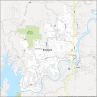
Branson
State capital
Jefferson City