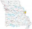
Map of Missouri – Cities and Roads

About the map
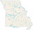
This Missouri map contains cities, roads, rivers, and lakes. For example, St. Louis, Springfield, and Kansas City are some of the major cities shown in this map of Missouri.
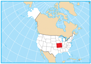
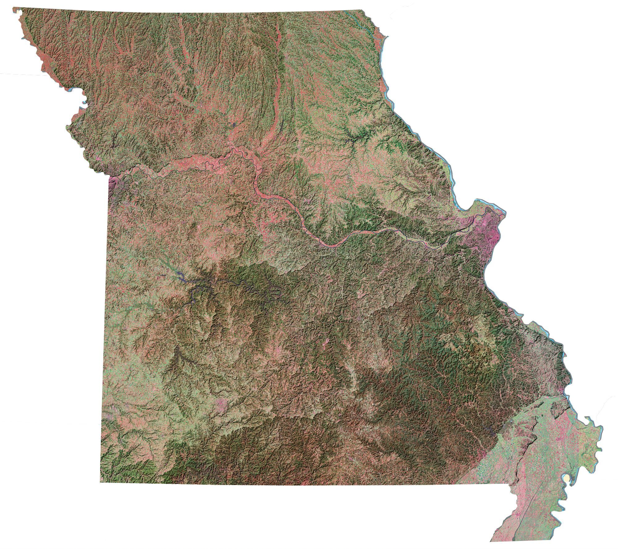
Missouri is situated in the central part of the United States. It borders Nebraska, Iowa, Illinois, Kentucky, Tennessee, Arkansas, and Oklahoma. Only Tennessee borders as many states as Missouri. Missouri is a state rich in American history, folklore, and culture. It is home to several state parks, nature preserves, and scenic byways.
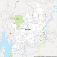
Missouri is the gateway to the Midwest. It’s known for its prime barbecue, beer, and jazz. Its major cities are St. Louis and Branson, which is like a mini version of Las Vegas. Other highlights include St. Louis Arch, Mark Twain, Kansas City barbecue, jazz, and blues music.
Missouri map collection
You are free to use our map of Missouri for educational and commercial uses. Attribution is required. How to attribute?
State capital
Jefferson City
Major cities and towns
St Louis
Springfield
Jefferson City
Independence
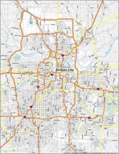
Kansas City
Cape Girardeau
Columbia
Joplin
St Charles
St Joseph
Lees Summit
Florissant
Liberty Gladstone
Raytown
Oakville
Bethany
Bolivar
Bowling Green
Brookfield
Cameron
Carrollton
Carthage
Chillicothe
Clinton
Dexter
Farmington
Festus
Fredericktown
Fulton
Hannibal
Harrisonville
Kennett
Kirksville
Lebanon
Macon
Malden
Marshall
Maryville
Mexico
Moberly
Monett
Mountain Grove
Neosho
Nevada
Perryville
Poplar Bluff
Princeton
Rolla
Salem
Sedalia
Sikeston
Sullivan
Trenton
Warrensburg
Washington
West Plains
Willow Springs
Branson
Rock Point
Plattsburg
Lancaster
Edina
Boonville Troy
Warrenton
Vienna
Park Hills
Van Buren
Doniphan
Houston
Gainesville
Ava
Hermitage
Osceola
Butler
Lamar
Interstate highways
Interstate-29 (I-29)
Interstate-35 (I-35)
Interstate-55 (I-55)
Interstate-44 (I-44)
Interstate-70 (I-70)
Lakes, rivers and creeks
Lake of the Ozarks
Osage River
Meramec River
Current River
Table Rock Lake
Bull Shoals Lake
Grand River
Stockton Lake
Harry S Truman Reservoir
Norfork Lake
Missouri River
Mississippi River
St Francis River
Gasconade River
Mark Twain Lake
Thomas Hill Reservoir
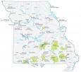
Landmarks in Missouri
Ozark Plateau
Taum Sauk Mountain
you are missing Highway 61 going north from 70 at Wentzville
Where does I-49 run through Missouri?
Hey nice maps, you’re missing I-49 in the list of Interstate Highways.