5 Key Skills in GIS: A Guide for New Professionals
5 GIS Skills for Success
Are you new to GIS and looking to get started in the field? Many GIS professionals have already achieved success in their careers, and with the right GIS skills, you can too!
Becoming a skilled professional in GIS is possible with the right knowledge and expertise. In this guide, we’ll discuss five key skills that are essential for success in GIS.
We will teach you the basics of GIS software and interpreting spatial data. You can build a career in GIS.
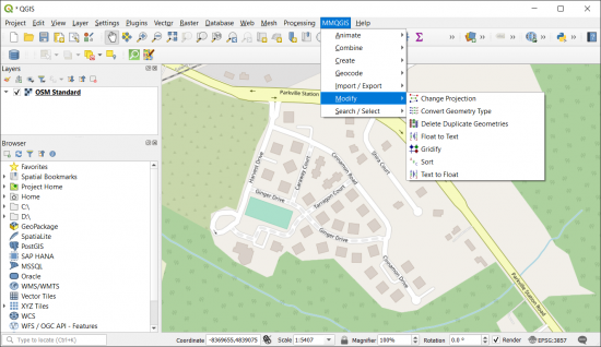
1. Understanding the Fundamentals of GIS Software
Having a firm grasp of the fundamentals of GIS software is important to analyze spatial data and produce meaningful results.
Geospatial literacy is absolutely essential for success in this field. This can include analyzing GIS datasets, creating detailed models and simulations, or building a simple map.
It’s not just a basic understanding. GIS professionals must find the best method to solve a specific problem using the right tools and techniques in the GIS software.
Moreover, GIS professionals must be knowledgeable about the capabilities of the software. To troubleshoot problems, you need to understand data formats and available functions.
2. Analyzing and Interpreting Spatial Data
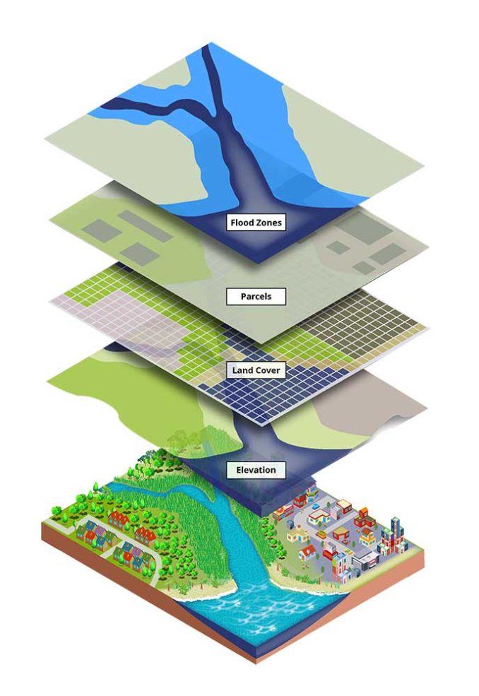
Every GIS project starts with data. This is why understanding spatial analysis is vitally important. First, you’ll need to know how to interpret geospatial data. Next, you’ll have to learn how to apply spatial analysis and identify patterns, trends, and relationships in data.
After mapping and interpreting data, you can use it to answer important questions and solve problems. For example, you can study data to learn about flooding, driving times, and demand for housing.
Writing code is like witchcraft (kinda?). You have to know the spells, and chant before you can create code. GIS programming is your friend in analyzing and interpreting geospatial data.
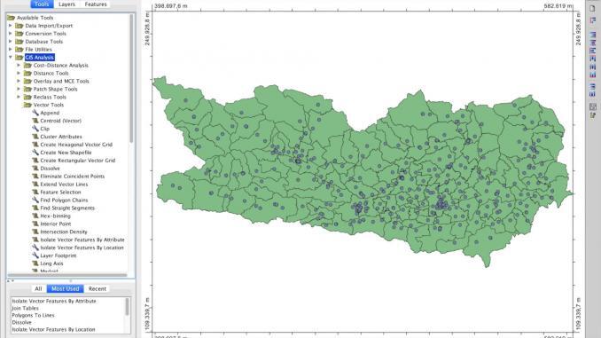
3. Applying GIS Principles to Real-Life Projects
Once you’ve mastered the fundamentals of GIS software, you can start to apply GIS principles to real-life projects.
You’ve probably heard that GIS is a multidisciplinary field. This means it brings together different data and experts from different fields to solve problems. To apply GIS principles, you need to know how they relate to different specialties like the environment and urban planning.
The first step to applying GIS principles to real-life projects is collecting the right data. Make sure you’re collecting the data you need as well as any additional data that can be useful in the future. Different projects require different tools. You can’t apply one-size-fits-all solutions to every project. Make sure you’re using the right tools and not overcomplicating your projects.
GIS helps you solve problems that involve location, but make sure you’re solving the right problem. GIS can be used for almost anything, so you may have to narrow down your focus to make sure you’re using the technology for the right purpose.
4. Developing Effective Communication Skills
Communication skills are an essential component of success in GIS. GIS professionals need to be able to communicate effectively with a variety of stakeholders. This might include everyone from colleagues to government agencies and private industry. Professionals in GIS should be able to explain difficult ideas to non-experts and successfully work in teams.

To be successful in GIS, you need good communication skills. First, GIS professionals use written communication skills to document their work. Secondly, oral communication skills are essential for giving presentations and engaging with stakeholders. This is especially true as a GIS consultant.
GIS professionals should have good technical writing, along with core communication skills. Technical writing skills allow anyone to develop clear and concise documentation. Whereas analysis skills enable them to effectively interpret data and draw conclusions. These GIS skills are also beneficial to write documentation in GIS metadata.
5. Solving Problems and Working on a Team
GIS technology can address a variety of challenges. This can relate to everything from land use planning to transportation, and natural resources. It’s through visualization, analysis, and interpretation that users can create their own solutions.

But can one GIS analyst do it all on their own? We can find problems, create solutions, share ideas, and use resources by working in teams. Team members can support and encourage each other, especially when working with complex datasets.
Working together improves communication and collaboration. These skills are crucial for finishing GIS projects successfully. When team members work together, they can use their knowledge and experiences to improve GIS projects.
Summary: 5 GIS Skills to Succeed
Becoming an expert in GIS is a challenging but rewarding career. If I could put it into words, I would say:
Those who are prepared create their own luck
If you want to sit in the driver’s seat for a career in GIS, start following these tips and develop strategies for success
Now, it’s time to flip it over to you. What are some GIS skills you think are essential today? Please let us know with a comment below.


