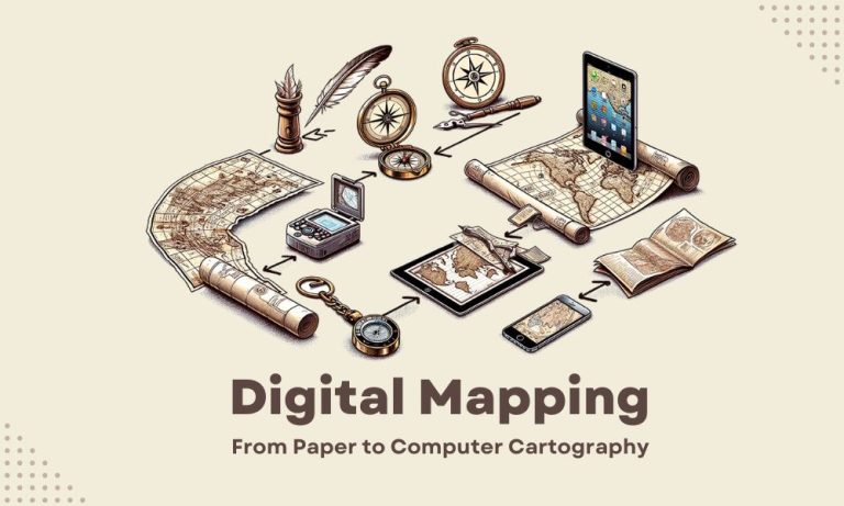
Digital Mapping: Paper Maps to Computer Cartography
We used to draw maps by hand on paper. Now, we use digital mapping to make maps. Some call this process computer cartography. But I guess we can put this all under the umbrella of Geographic Information Systems.
The switch to modern cartography has made creating and updating maps much easier than before. Plus, digital maps can show more. For instance, they can show weather, traffic, and more.
So, the leap from paper to computer cartography has changed how we see the world. Let’s take a closer look at the world of digital mapping.
Paper Maps to Pixels
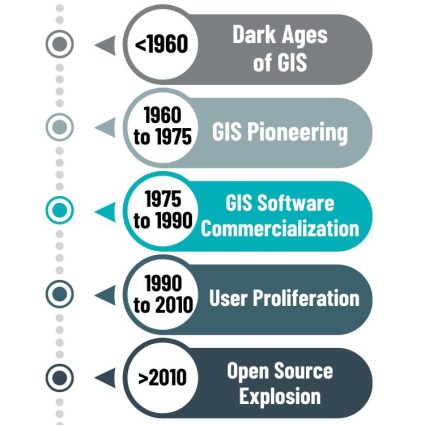
In the history of GIS, the shift from paper maps to pixels began in the early 1960s. But digital mapping didn’t really become mainstream until about the 1980s. This is when the average Joe started having access to personal computers.
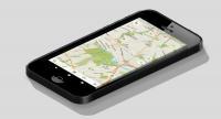
Previously, we used paper maps to navigate. Now, digital maps show us the way with GPS and real-time traffic. We can interact with digital maps by zooming in and out with a touch.
Paper maps required printing new editions for updates. But digital mapping has made it possible to get refreshed location data instantly. So, the journey from paper maps to digital mapping has changed how we interact with geography and navigate our world.
Blending Aesthetics with Accuracy
I love the old way of cartography. There’s nothing more satisfying than the intricate artistry in a historic map.
But with the rise of digital mapping, aesthetics have changed, along with its accuracy. We don’t need only one zoom level. But we have to consider small and large-scale maps.
What are the elements of modern cartography? We’ve listed what we can find in most modern maps:
- Basemaps: This is the underlying layer showing natural geography like land, oceans, and rivers.
- Satellite Imagery: High-resolution images from satellites offer a real-world view.
- Street Data: Detailed linear features like roads, paths, and bridges for navigation.
- Topography: Shows elevation and terrain features, useful for outdoor activities.
- Labels: Names for places, roads, and geographic features aid in identification.
- Legend: A key that explains the symbols and colors used on the map.
- Points of Interest (POIs): Locations like restaurants, museums, and parks are marked.
These elements work together to make digital maps incredibly useful, from everyday navigation to geographic analysis.
Modern Mapping Meets Data Visualization
The reality is that digital mapping is just another form of data visualization. And what’s the purpose of data visualization? It’s to communicate information and help others understand geography.
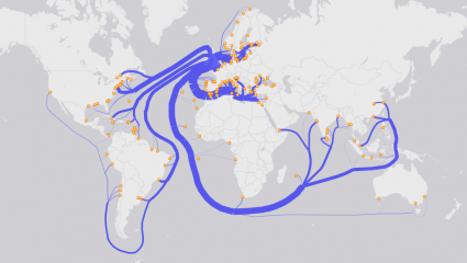
For example, we might use a flow map to show how things move from one spot to another. On the other hand, we might build an online dashboard to show real-time locations of delivery trucks.
There are dozens of types of maps. This is our bread and butter in computer cartography. It’s just a matter of picking the right tool for the job.
GIS Software and Technology
Speaking about tools for the job… Where do GIS software and technology fit in the picture? Because you can’t accurately map out geographic data without having the right tools.
Typically, we have a couple of different options for types of GIS applications.
Desktop GIS
Desktop GIS is a type of software that lets you work with maps and data on your computer. GIS professionals use it to create, edit, analyze, and share geographic data.
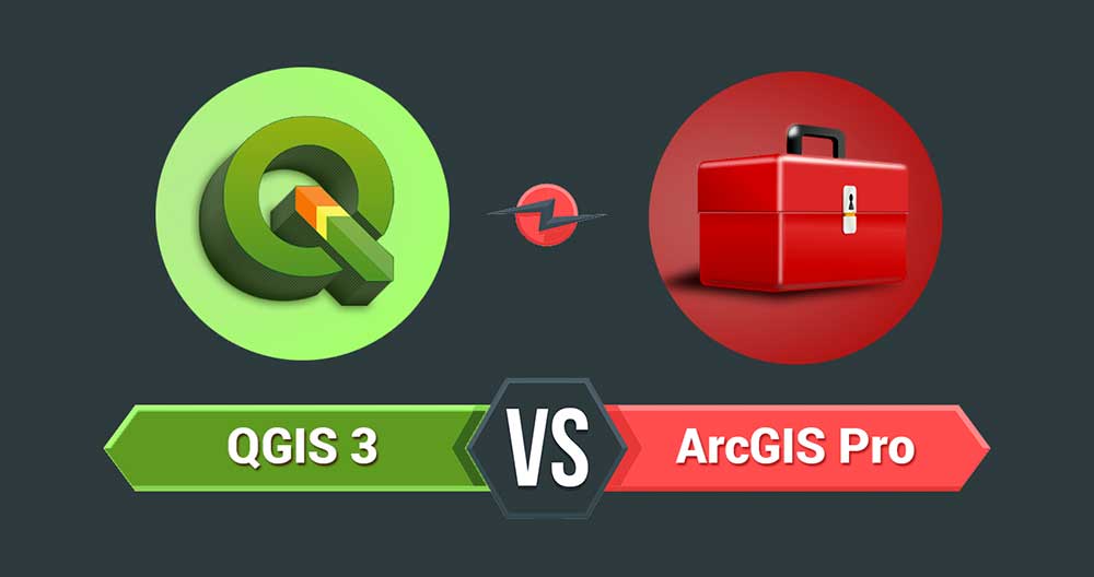
Currently, it’s the most common type of GIS technology. We have a lot of GIS software options available. While QGIS is the top open source GIS software, ArcGIS Pro is the most popular commercial option.
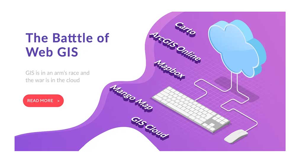
SaaS GIS
While Desktop GIS is more of an on-premise software, SaaS GIS means you can use it 100% online. As the name implies, Software as a Service is typically based in the cloud.
It’s not only digital mapping online. But you can also use GIS analysis tools over the internet without installing software. For example, ArcGIS Online, CARTO, and Mapbox are popular examples.

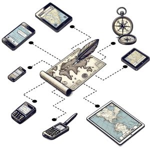
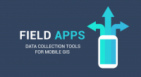
Mobile GIS
Mobile GIS is the concept of using mobile devices like smartphones and tablets. Typically, we use mobile GIS for fieldwork because you can gather data with a GPS location.
There’s some overlap with all types of GIS technologies. But some of the most common Mobile GIS platforms are ArcGIS Workforce, QField, and Fulcrum.
Digital Mapping and You
What’s the next big leap in mapping technology? Before I get into that. First, I want to point out how far GIS has come already. It almost seems unreal. Advancements in the world of digital mapping are quick. But what’s in our future?
3D mapping? This is already common in GIS data. AI maps? Although they’re not very reliable, generative AI applications like DALL-E are showing progress. How about augmented reality? Yes, augmented reality IS a reality.
So what’s the next big thing? Probably more artificial intelligence and machine learning. Beats me. But what I know for certain is that the digital mapping of tomorrow will be different from today.


