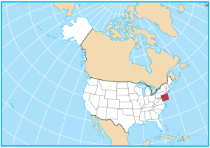
Delaware Lakes and Rivers Map
About the map
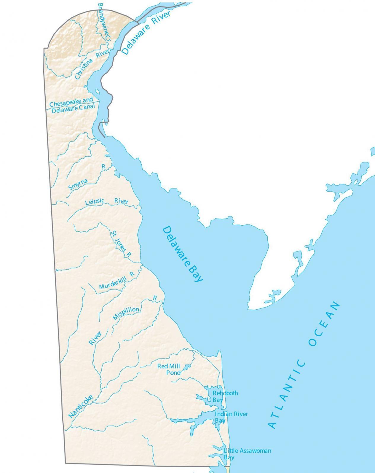
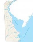
In this map, you will find the major rivers, bays, and lakes of Delaware. In general, the rivers and streams of Delaware flow into the Atlantic Ocean.
Delaware Bay is an inlet of the Atlantic Ocean, partially forming the border for New Jersey. It also serves as an outlet for the Delaware River, which spans 5 states.
The largest lakes in Delaware include Lums Pond, Silver Lake, and Trap Pond. Other than Delaware Bay, both Rehoboth Bay and Little Assawoman Bay are broad inlets of the sea in Delaware. The Delaware River is the longest river in the state of Delaware.
Delaware map collection
You are free to use our lakes and rivers map of Delaware for educational and commercial uses. Attribution is required. How to attribute?
Delaware lakes, rivers, and bays
Lakes and bays
Delaware Bay
Rehoboth Bay
Little Assawoman Bay
Rivers, canals and streams
Delaware River
Brandywine Creek
Smyrna River
Leipsic River
Nanticoke River
Indian River
Murderkill River
Chesapeake & Delaware Canal
Christina River
St Jones River
Mispillion River
Lakes, bays and ponds
Red Mill Pond
Lums Pond
Silver Lake
Trap Pond