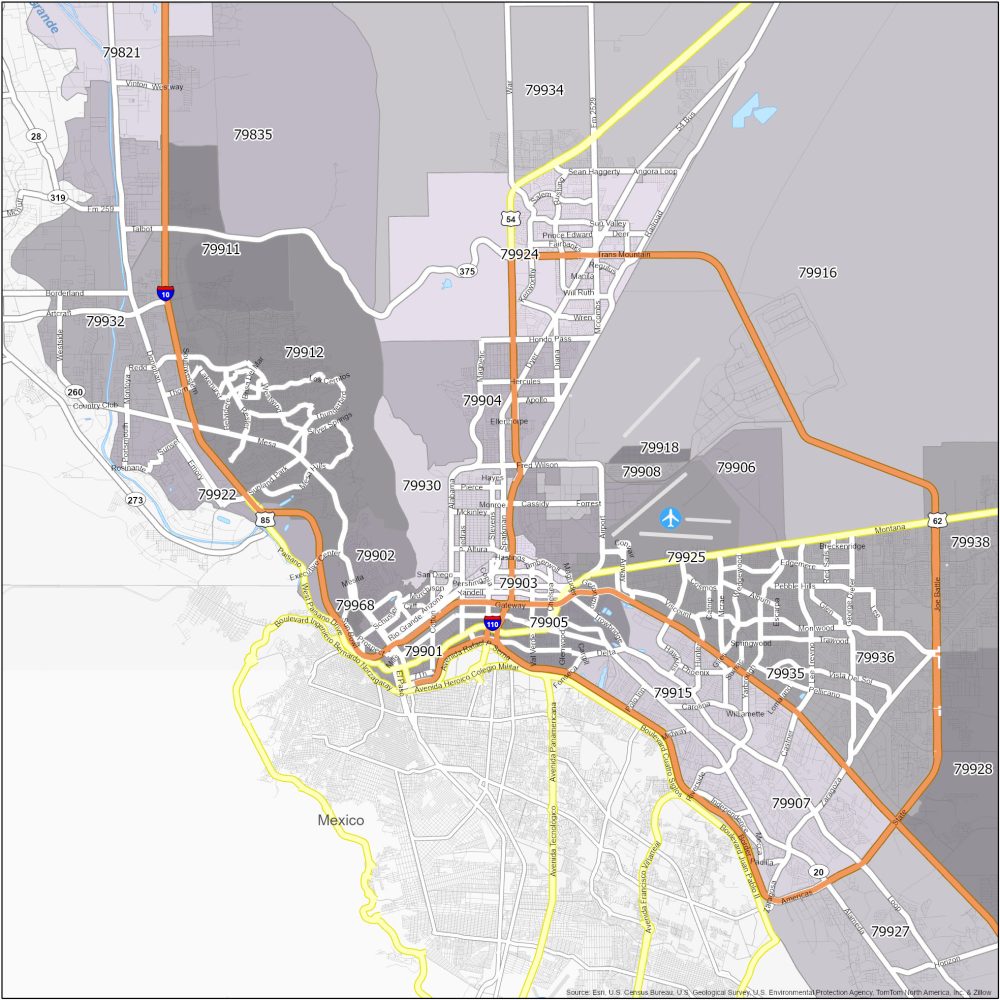
El Paso Zip Code Map
El Paso Zip Code Table
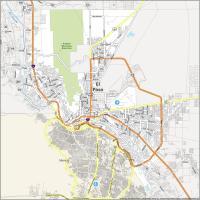
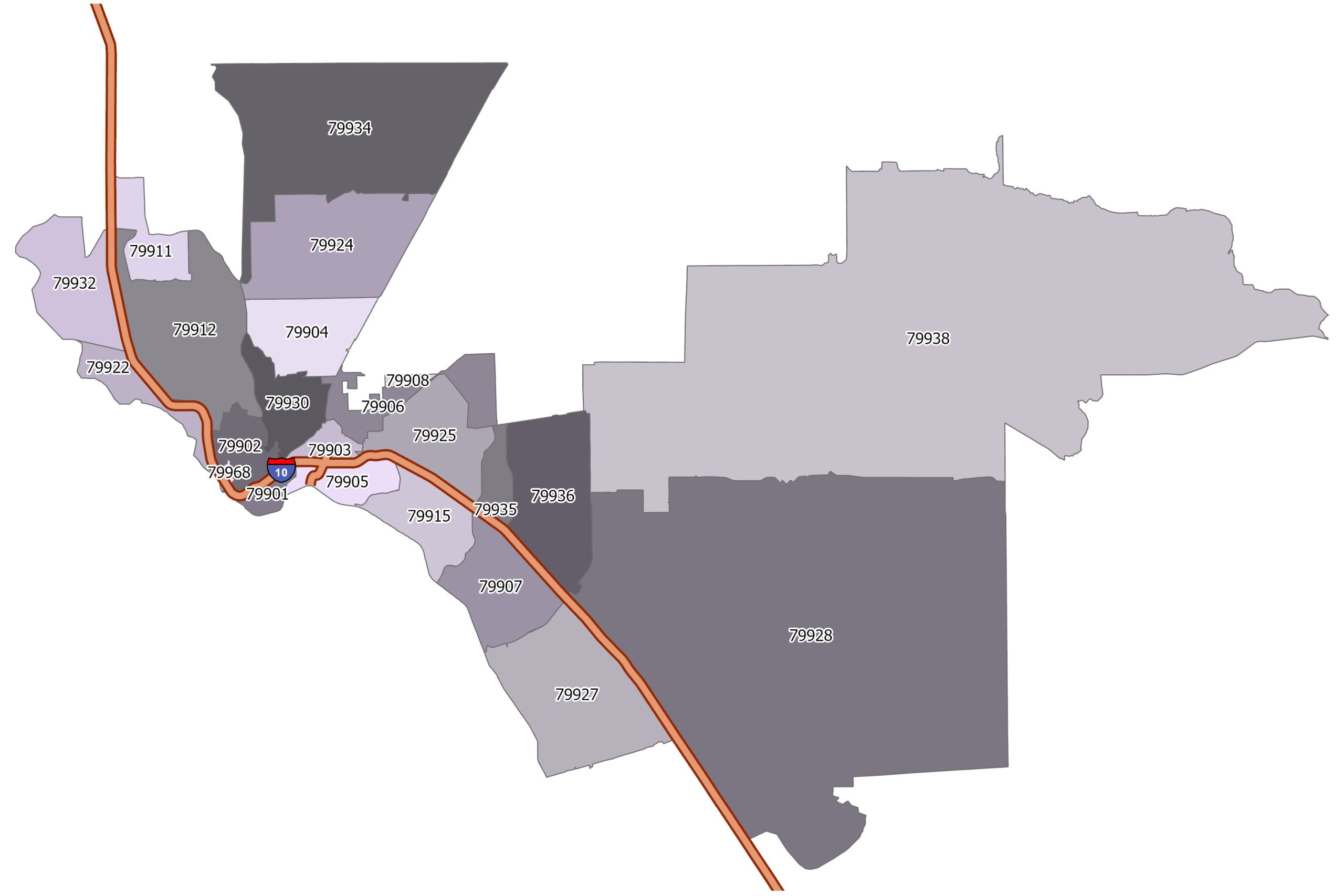
Check out our El Paso zip code map. This map showcases the interstate highways and postal regions. We allow you to download this map for personal reference.
| Zip Code | Name | State | Population | Square Miles |
|---|---|---|---|---|
| 79901 | El Paso | TX | 12,893 | 2.25 |
| 79902 | El Paso | TX | 21,643 | 5.98 |
| 79903 | El Paso | TX | 17,695 | 3 |
| 79904 | El Paso | TX | 34,740 | 11.61 |
| 79905 | El Paso | TX | 26,426 | 5.8 |
| 79906 | El Paso | TX | 10,277 | 8.44 |
| 79907 | El Paso | TX | 56,948 | 13.52 |
| 79908 | El Paso | TX | 2,139 | 0.78 |
| 79911 | El Paso | TX | 8,223 | 6.91 |
| 79912 | El Paso | TX | 78,500 | 25.94 |
| 79915 | El Paso | TX | 39,073 | 9.81 |
| 79922 | El Paso | TX | 8,128 | 6.73 |
| 79924 | El Paso | TX | 60,579 | 23.63 |
| 79925 | El Paso | TX | 40,266 | 13.13 |
| 79927 | El Paso | TX | 41,128 | 26.79 |
| 79928 | El Paso | TX | 66,593 | 183.78 |
| 79930 | El Paso | TX | 26,819 | 8.07 |
| 79932 | El Paso | TX | 28,953 | 13.95 |
| 79934 | El Paso | TX | 28,482 | 48.15 |
| 79935 | El Paso | TX | 18,196 | 3.77 |
| 79936 | El Paso | TX | 11,2615 | 18.95 |
| 79938 | El Paso | TX | 83,918 | 216.04 |
| 79968 | El Paso | TX | 2 | 0.28 |
El Paso Zip Code Map
Click on the image to see our original zip code map of El Paso with major interstate highways.