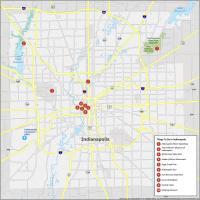
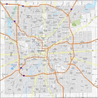
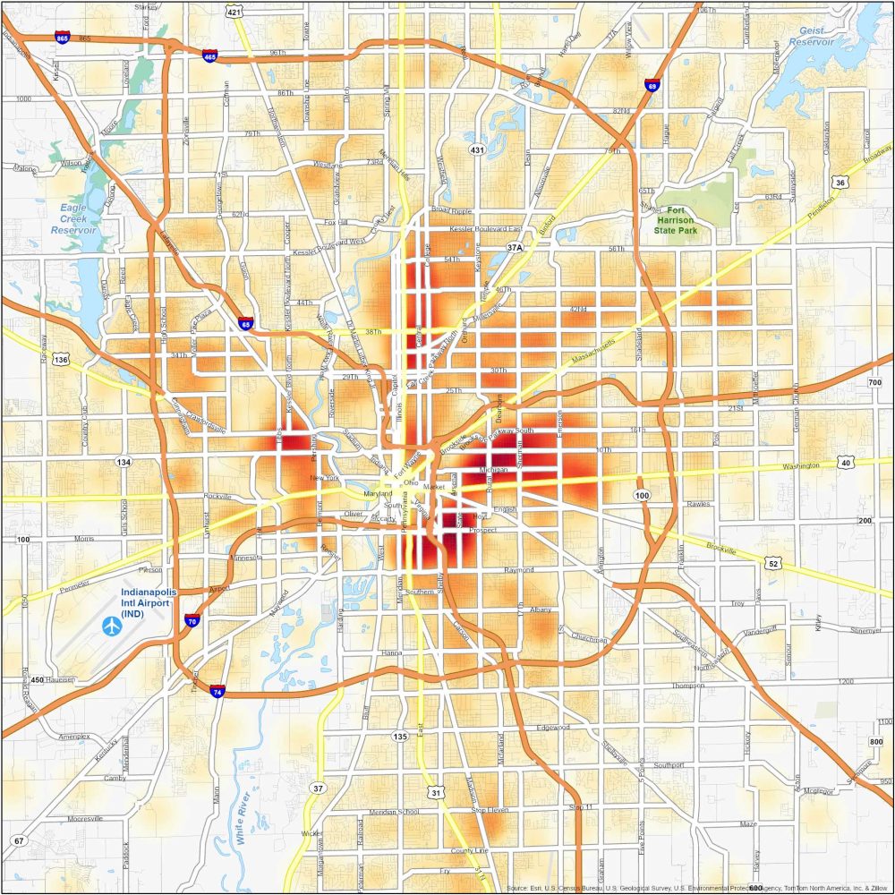
Indianapolis Crime Map
Dangerous Neighborhoods in Indianapolis
This Indianapolis crime map helps you keep an eye on crime in “Naptown”. We provide you with a heat map that distinguishes hot and cold spots of crime activity in Indianapolis.
Here are some of the most dangerous neighborhoods in Indianapolis.
| Neighborhood | Location | Types of Crimes |
|---|---|---|
| Near Eastside | East of Downtown Indianapolis, between Rural and Emerson Avenues | Property crimes, burglaries, assaults, and it’s common for drug-related offenses. |
| Martindale-Brightwood | Northeast Indianapolis, near Fall Creek Parkway and Keystone Avenue | Burglaries, property crimes, violent incidents, and drug-related offenses. |
| Far Eastside | Eastern edge of Indianapolis, near Pendleton Pike and Post Road | Property crimes, thefts, burglaries, and occasional shootings. |
| Northwest Indianapolis | Northwest of Downtown, near Lafayette Square and Michigan Road | Property crimes, robberies, assaults, and occasional drug-related offenses. |
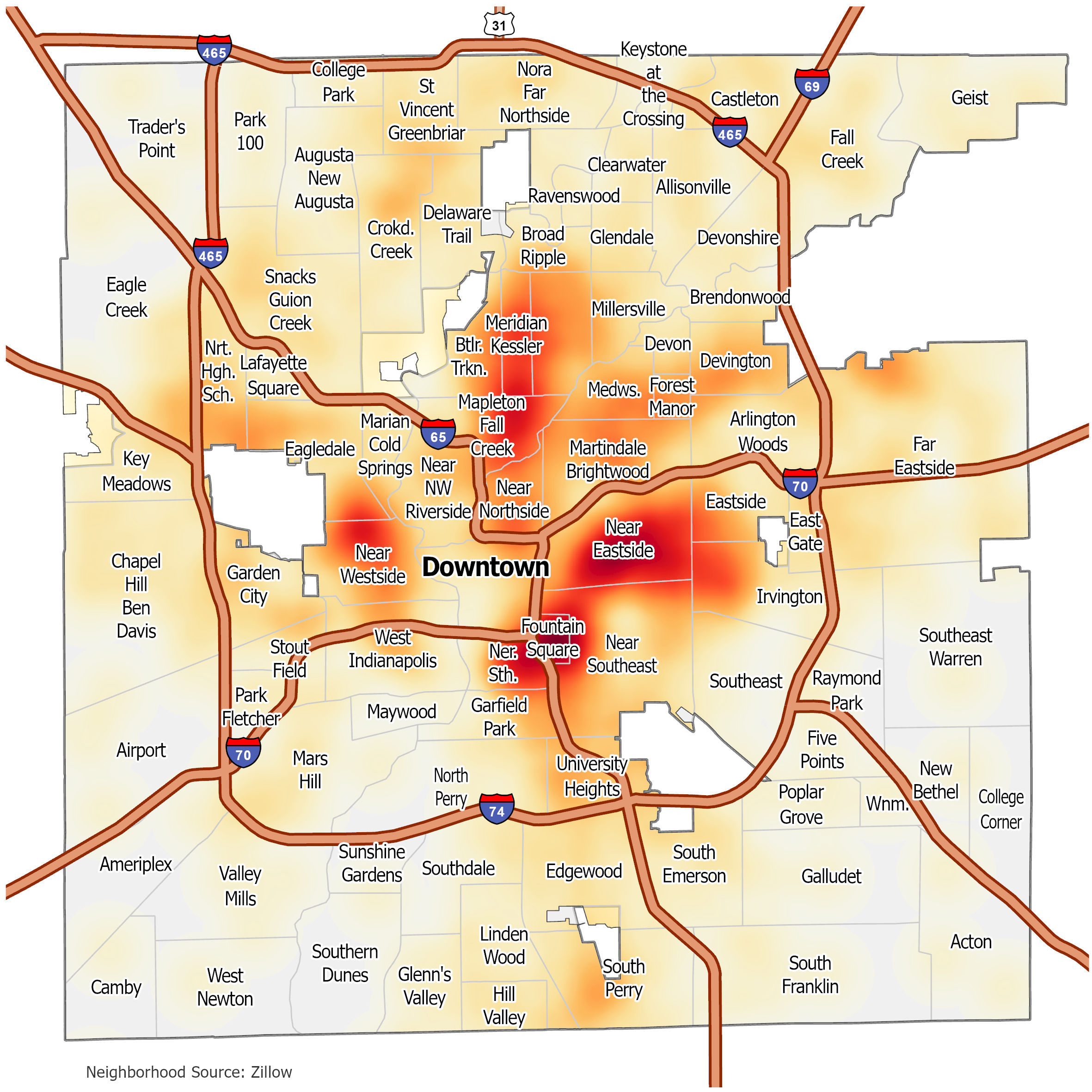
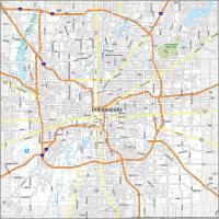
Indianapolis Crime Map
Click on the image to see our original crime map of Indianapolis with interstate highways and neighborhoods.