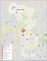
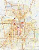
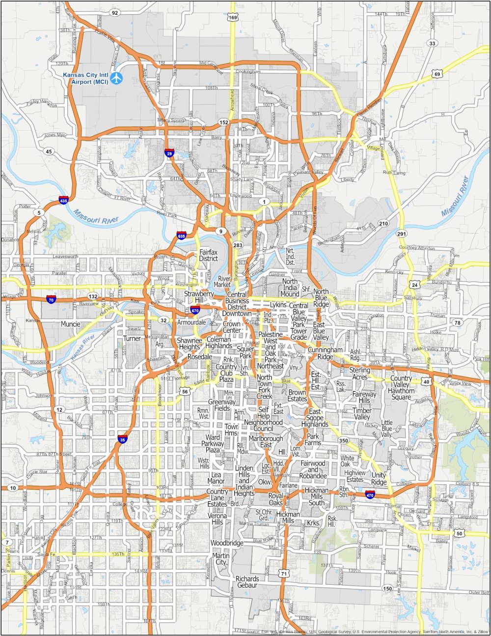
Kansas City Neighborhood Map
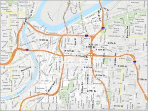
Downtown Kansas City
Downtown is the beating heart of Kansas City. This area really comes alive, especially the Power & Light District.
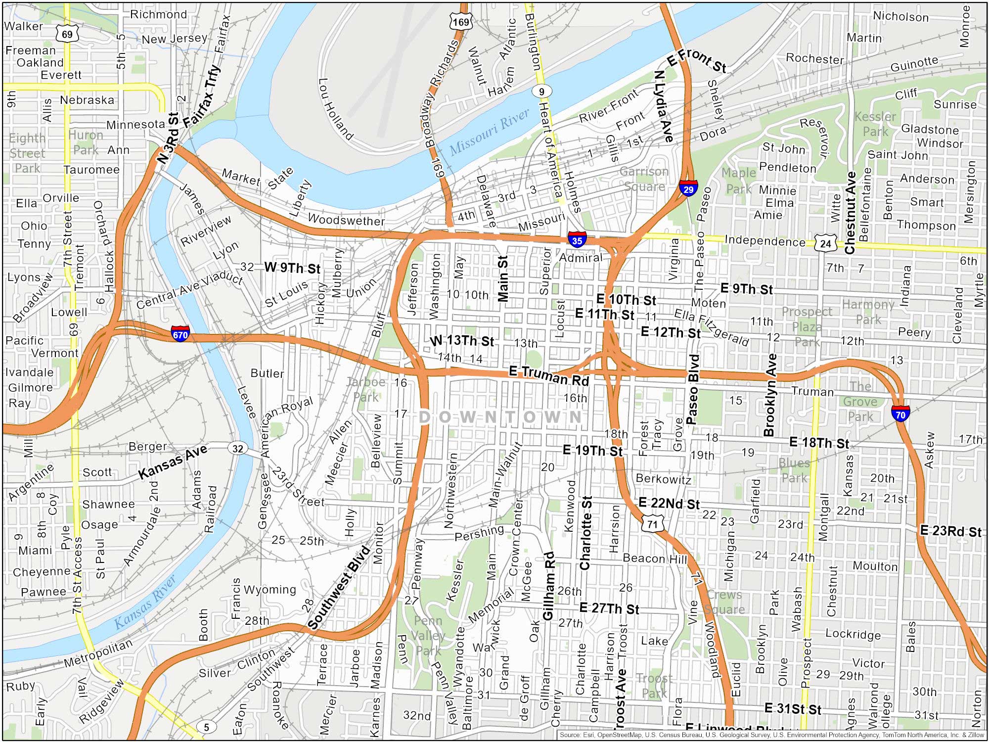
The downtown area is along the Missouri River. It’s bordered by Interstate 70 to the north and Interstate 670 to the south. Also check out City Market, Kauffman Center for the Performing Arts and the National World War I Museum and Memorial.
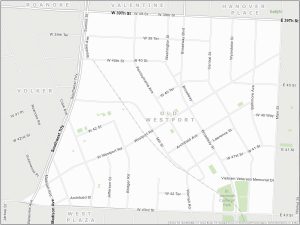
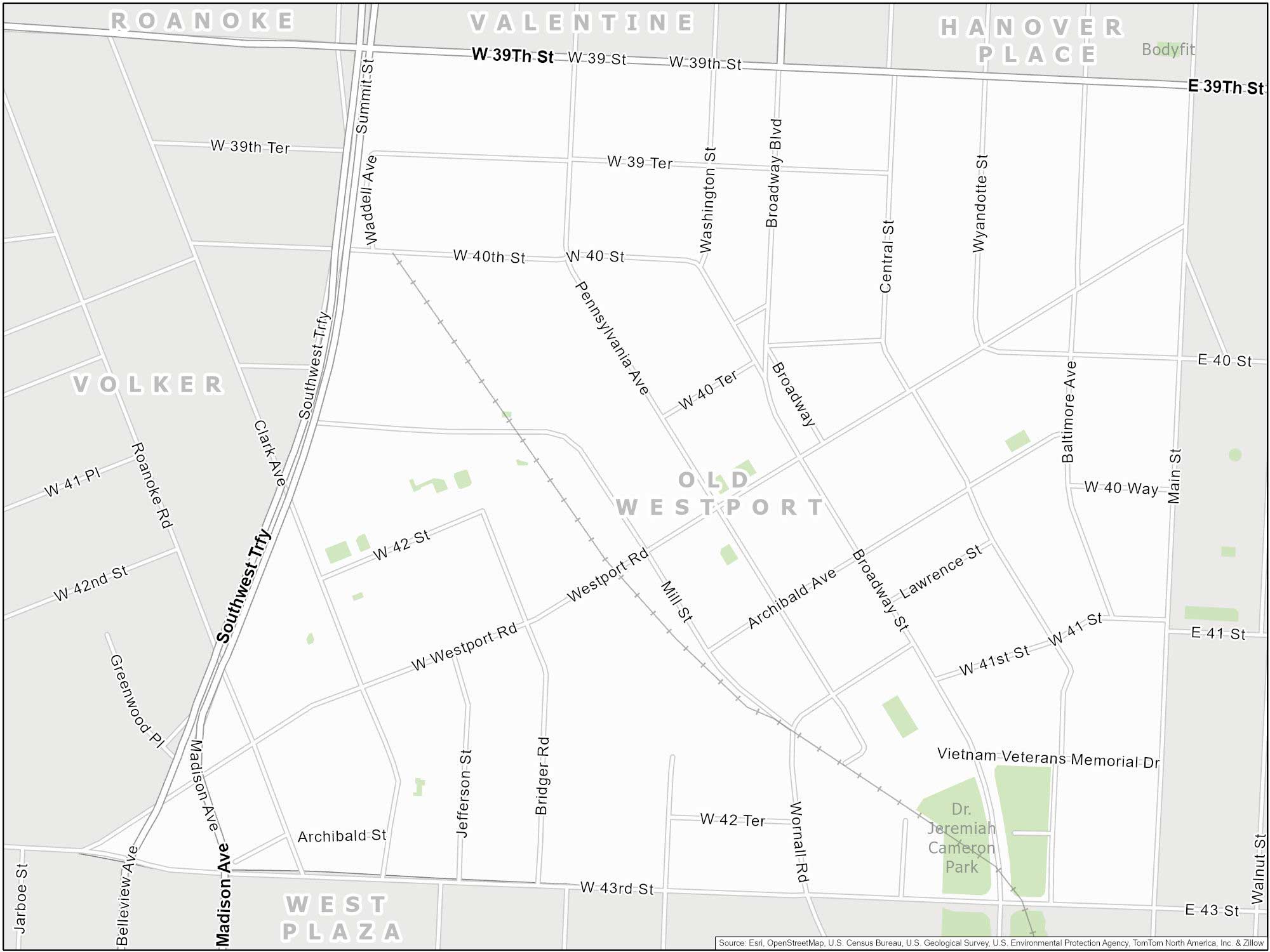
Old Westport
Westport is a historic neighborhood. It’s located just south of the Country Club Plaza. Also, it’s west of the Westport Road and Main Street intersection. It is bordered roughly by Southwest Trafficway to the west and Broadway Boulevard to the east.
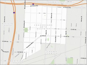
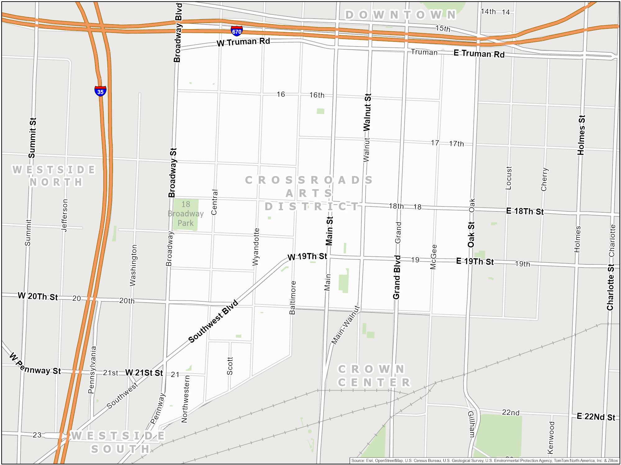
The Crossroads Arts District
The Crossroads Arts District is located in downtown. As the name implies, this area is famous for its art galleries and studios. It also hosts First Fridays, a monthly art-centric event.
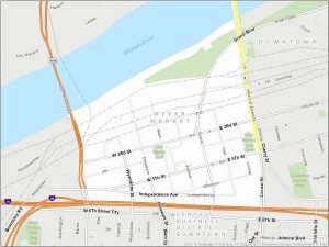
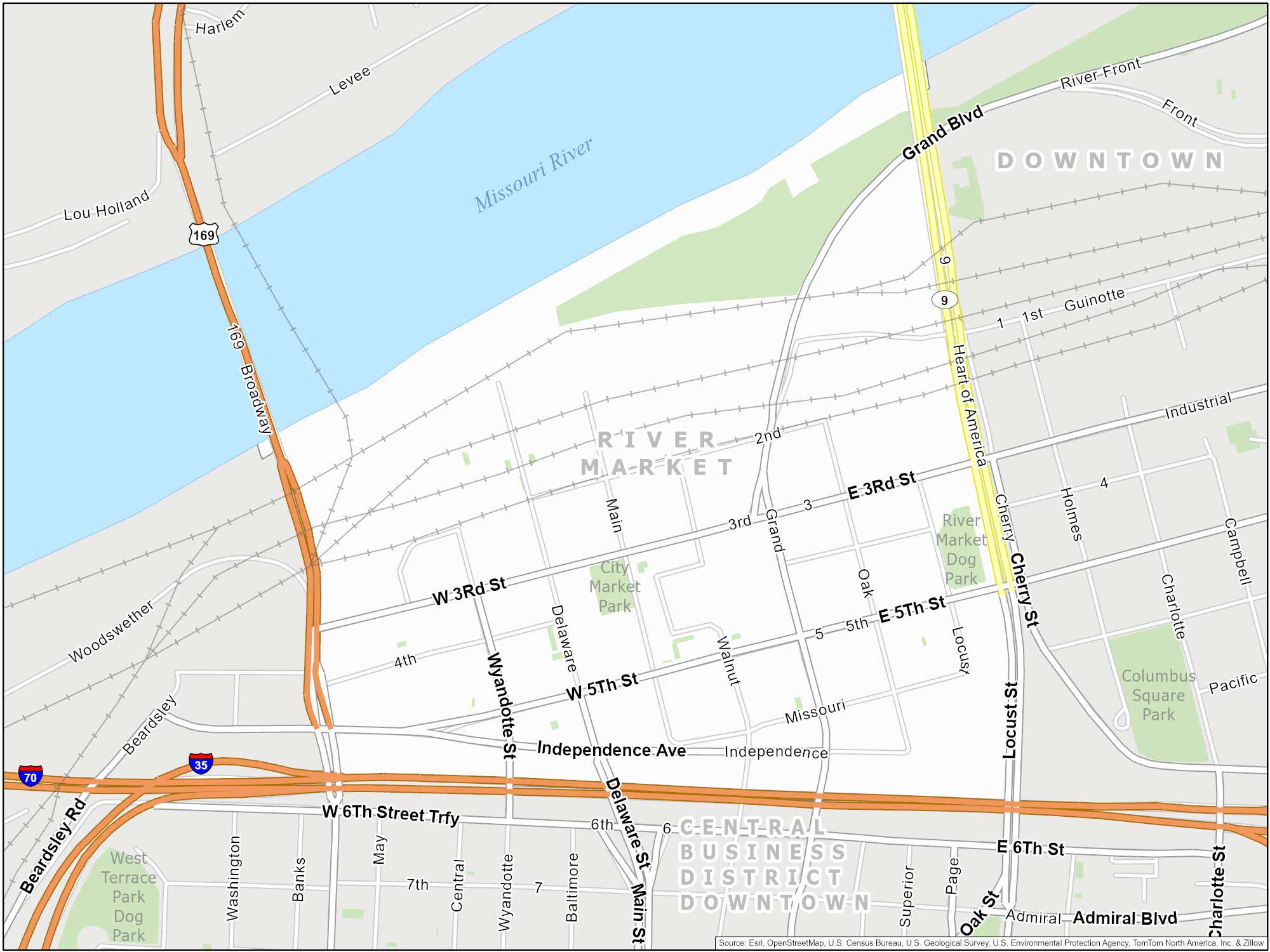
River Market
You can find River Market along the Missouri River. It is a neighborhood centered around its historic marketplace. It’s a fun place to explore with lots of vendors.
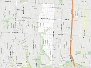
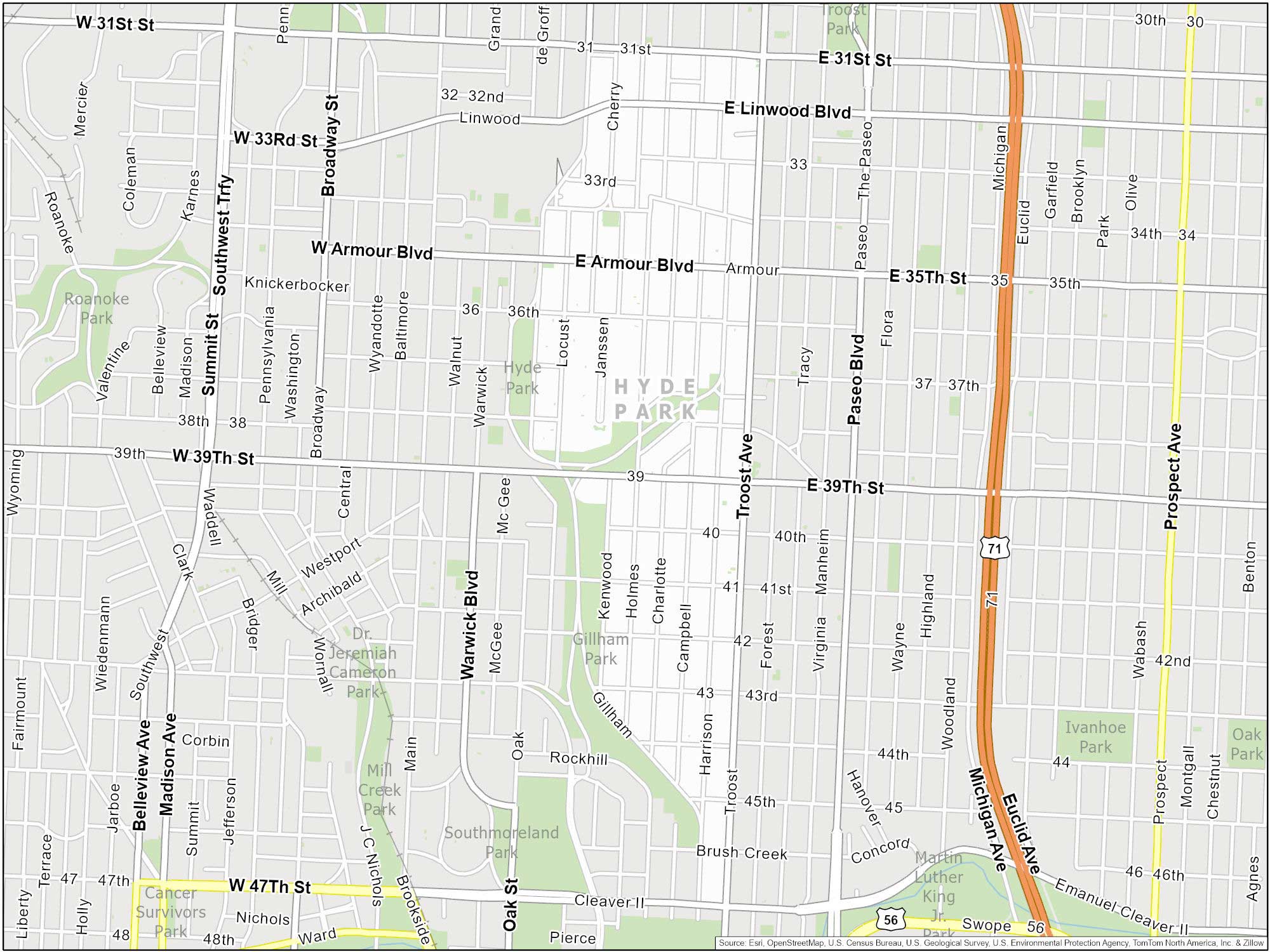
Hyde Park
Hyde Park is a historic neighborhood that’s located in midtown Kansas City. It’s roughly bordered by 31st Street, Gillham Road, 47th Street, and Troost Avenue. One of the nicest things about Hyde Park is that it’s close to downtown and the Country Club Plaza.
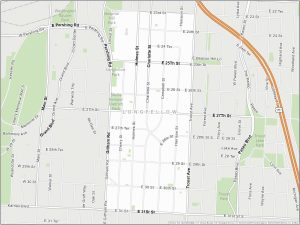
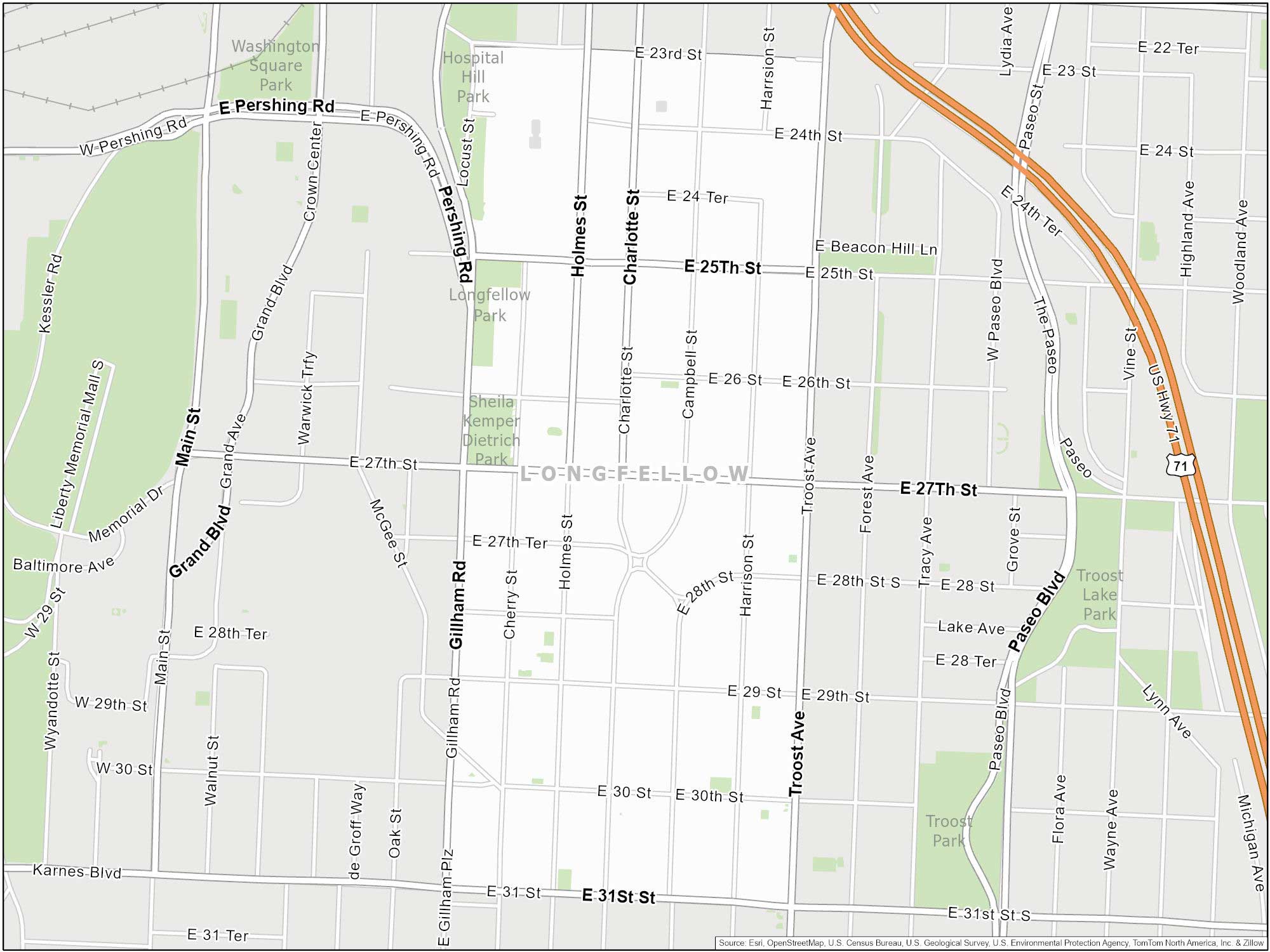
Longfellow
Longfellow is another historic neighborhood. You can find this neighborhood just south of downtown and north of Hyde Park. Highlights are its community gardens and green space.
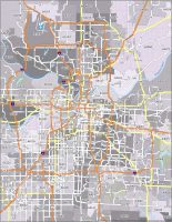
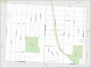
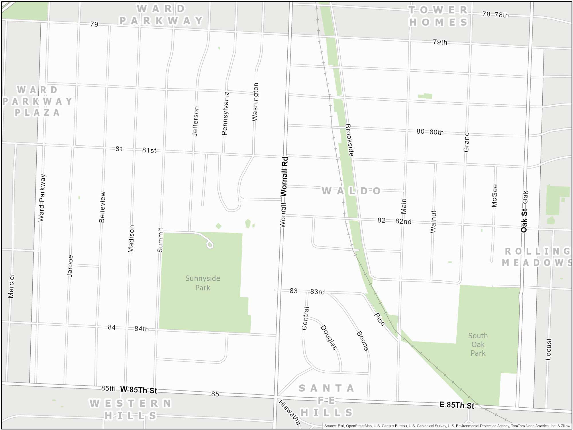
Waldo Neighborhood Map
Fun fact, this neighborhood is named after British writer Ralph Waldo Emerson. Waldo is located south of the Country Club Plaza. It’s also north of Brookside in Kansas City.
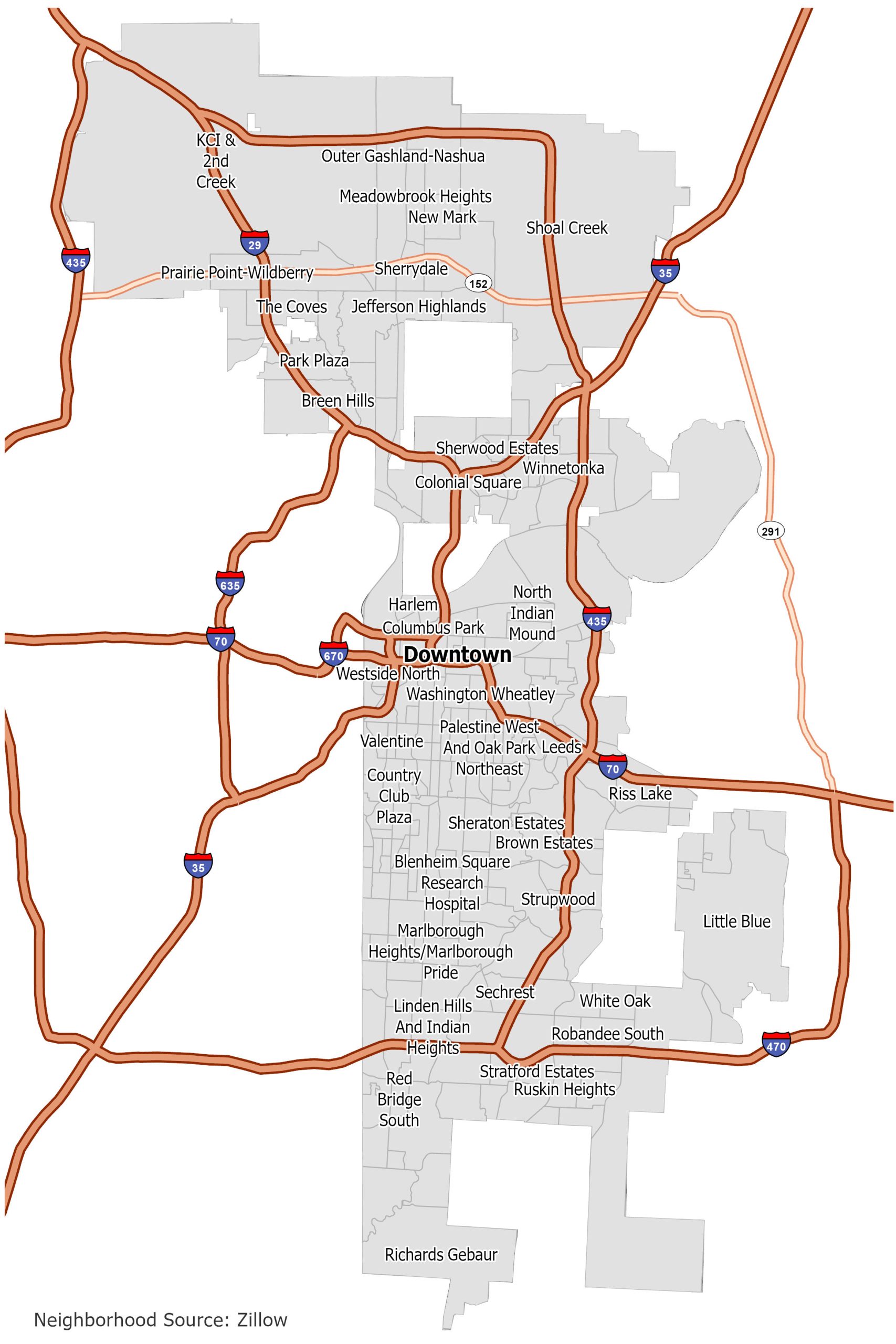
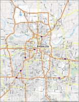
Kansas City Neighborhood Map
Click on the image to see our original neighborhood map of Kansas City with interstate highways.