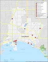
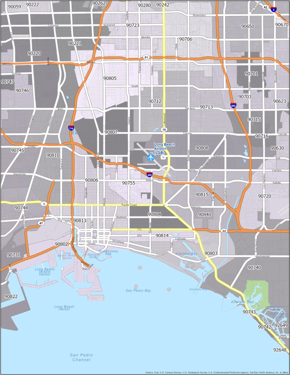
Long Beach Zip Code Map
Long Beach Zip Code Table
Understand the postal regions with our zip code map. Download this map for your reference. The table below includes all the zip codes in the Long Beach area.
| Zip Code | Name | State | Population | Square Miles |
|---|---|---|---|---|
| 90802 | Long Beach | CA | 39,858 | 6.1 |
| 90803 | Long Beach | CA | 34,999 | 4.51 |
| 90804 | Long Beach | CA | 42,370 | 2.2 |
| 90805 | Long Beach | CA | 94,287 | 7.5 |
| 90806 | Long Beach | CA | 43,526 | 3.82 |
| 90807 | Long Beach | CA | 31,947 | 5.02 |
| 90808 | Long Beach | CA | 38,094 | 7.73 |
| 90810 | Long Beach | CA | 37,742 | 6.31 |
| 90813 | Long Beach | CA | 58,639 | 4.09 |
| 90814 | Long Beach | CA | 18,006 | 1.34 |
| 90815 | Long Beach | CA | 39,852 | 6.94 |
| 90822 | Long Beach | CA | 0 | 0.53 |
| 90840 | Long Beach | CA | 0 | 0.49 |
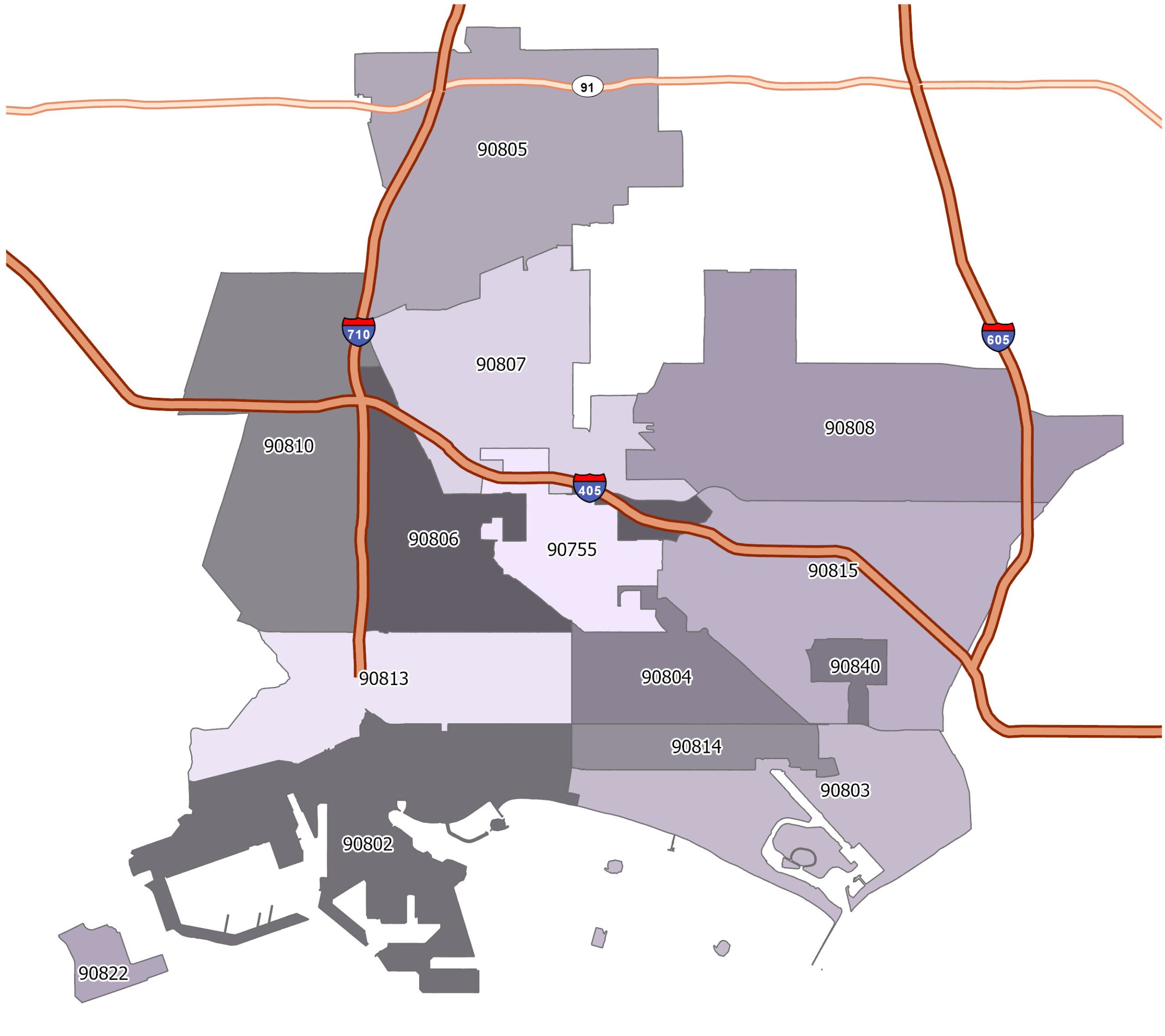
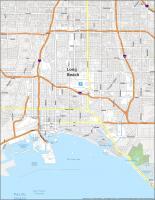
Long Beach Zip Code Map
Click on the image to see our original zip code map of Long Beach with major interstate highways.