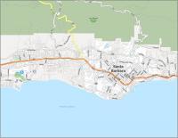
Map of California – Cities and Highways

About the map
This map of California displays major cities and interstate highways. It also features a variety of landscapes like valleys, mountains, deserts, lakes, and rivers.
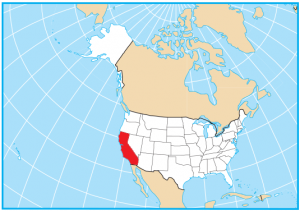
If California somehow left the United States, it would be the world’s 7th highest superpower. Needless to say, it is a state regarded to have a high power of geopolitical influence and entertainment capital of the world.
The state of California has a higher population than Canada with more than 38.8 million people. In fact, Los Angeles is the second-largest city in the United States, just after New York City. Other major cities include San Diego, which is the second-largest city and southernmost city in California. Otherwise, San Jose, San Francisco, Fresno, and Sacramento (the state capital) are the next most populous cities.
California map collection


You are free to use our map of California for educational and commercial uses. Attribution is required. How to attribute?
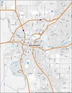
California state capital
Sacramento
Major cities in California
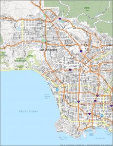
Los Angeles
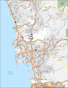
San Diego
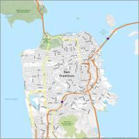
San Francisco
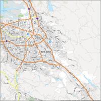
San Jose
Sacramento
Anaheim
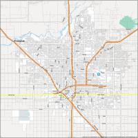
Fresno
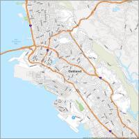
Oakland
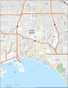
Long Beach
Bakersfield
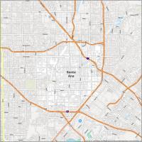
Santa Ana
Riverside
Stockton
Irvine
Fremont
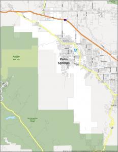
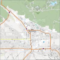
San Bernardino
Modesto
Interstate highways
Interstate-5 (I-5)
Interstate-8 (I-8)
Interstate-10 (I-10)
Interstate-15 (I-15)
Interstate-40 (I-40)
Interstate-80 (I-80)
Lakes, rivers and creeks
Lakes and Reservoirs in California
Lake Tahoe
Goose Lake
Trinity Lake
Shasta Lake
Clear Lake
Lake Oroville
Salton Sea
Merced Lake
Lake Berryessa
Mono Lake
Lake Havasu
Owens Lake
Honey Lake
Lake Almanor
Eagle Lake
Alkali Lakes
Clear Lake Reservoir
Rivers in California
Colorado River
Klamath River
Pit River
Eel River
Russian River
San Joaquin River
Kern River
Owens River
Trinity River
Salinas River
Bays and Channels in California
Monterey Bay
Bodega Bay
Santa Barbara Channel
Mountains, valleys and islands
Mountains in California
Sierra Nevada
Klamath Mountains
Warner Mountains
White Mountains
Diablo Range
Santa Lucia Range
Santa Ynez Mountains
Panamint Range
Amargosa Range
Chocolate Mountains
Imperial Valley
Mount Whitney
Mount Shasta
Lassen Peak
Valleys and deserts in California
San Joaquin Valley
Sacramento Valley
Death Valley
Mojave Desert
*The lowest elevation in California is 282 feet below sea level (Death Valley).
Islands in California
San Clemente Island
Santa Catalina Island
San Nicolas Island
San Miguel Island
Santa Rosa Island
Santa Cruz Island
Capes in California
Point Conception
Point Arguello
Point Piedras Blancas
Point Sur
Point Reyes
Point Arena
Punta Gorda
Cape Mendocino
Trinidad Head
Point St George
Channel Islands
San Diego has a very sheltered bay and is home for the US Navy west coast fleet! JOE 5/27/2026
I would like to use this map for a family dinner but need a high resolution version. Is that possible?
If you click on the “Download” button, that’s the highest resolution available that we have.
I LOVE this map. I was able to find love in all the right places, and I won the lottery all because this map is OMEGA POGGERS! Do not listen to Larry, he is a nonbeliever.
Worthless map. Needs more highways and all highways numbered. Who is going to California if they don’t know how to get around. Find a map worth something first. Certainly not this piece of crap, probably made by a third grade class.
I agree 1000%
Upper Lake is a town, not a Lake as listed above.
Thanks, Mary
I love this map, great work gisgeography.com
I was born in California I rate it a 10/10
Hello! Your California map is missing at least one town (Sebastopol in Sonoma near Santa Rosa)