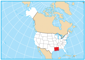
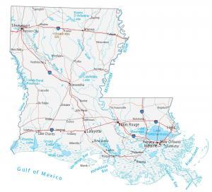
Louisiana State Map – Places and Landmarks
About the map
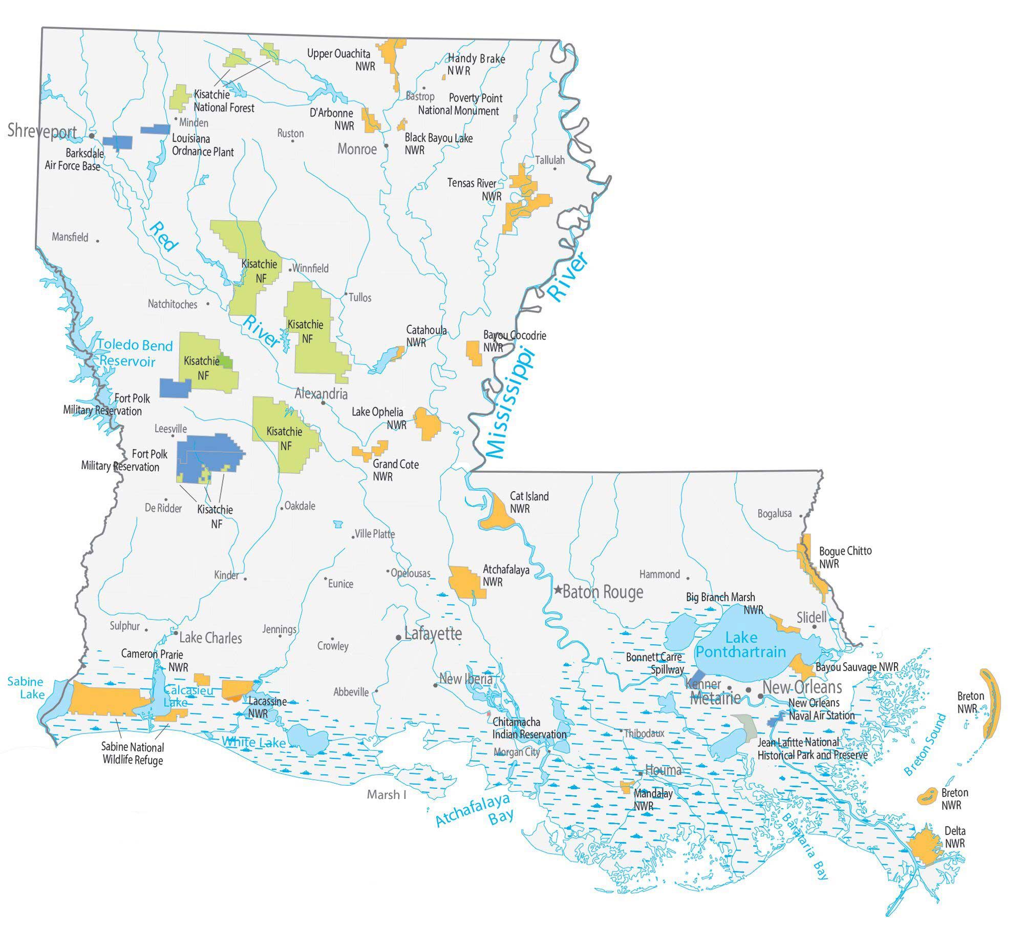
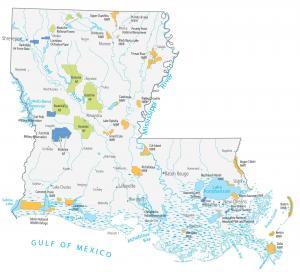
Our map shows major landmarks, places, wildlife, military, and federal lands in Louisiana. For example, it includes national forests, national wildlife refuges, and national monuments.
Louisiana is filled with over 20 national wildlife refuges. Each one is designed to preserve habitat and conserve specific wildlife, fish, and plants. But Kisatchie National Forest is the only national forest in Louisiana.
Its single national monument is the Poverty Point National Monument. This UNESCO World Heritage Site is an ancient city built by indigenous people with over 3,400 years of history.
Louisiana map collection

You are free to use our map of Louisiana for educational and commercial uses. Attribution is required. How to attribute?
Federal lands
National Forests (NF)
Kisatchie National Forest
National Wildlife Refuge (NWR)
Cat Island NWR
Atchafalaya NWR
Mandalay NWR
Delta NWR
Breton NWR
Lacassine NWR
Cameron Prairie NWR
Sabine NWR
Cameron Prairie NWR
Bogue Chitto NWR
Big Branch Marsh NWR
Bayou Sauvage NWR
Upper Ouachita NWR
Handy Brake NWR
Tensas River NWR
D’Arbonne NWR
Black Bayou Lake NWR
Bayou Cocodrie NWR
Catahoula NWR
Lake Ophelia NWR
Grand Cote NWR
National Monument
Poverty Point National Monument
Other Landmarks
Bonnet Carre Spillway
Jean Lafitte National Historical Park and Preserve
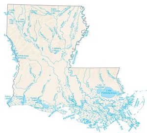
Louisiana lakes, rivers and reservoirs
Breton Sound
Atchafalaya Bay
Barataria Bay
Calcasieu Lake
Sabine Lake
Red River
Toledo Bend Reservoir
Mississippi River
White Lake
Lake Pontchartrain
Indian Reserves (IR)
Chitamacha Indian Reservation
Army, naval and military
Barksdale Air Force Base
New Orleans Naval Air Station
Fort Polk Military Reservation
Louisiana Ordnance Plant Army Ammunition
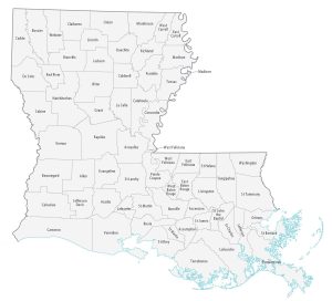
Louisiana populated places
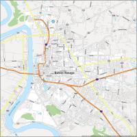
Baton Rouge
New Orleans
Alexandria
Houma
Kenner
Lake Charles
Monroe
New Iberia
Slidell
Lafayette
Shreveport
Metairie
Abbeville
Bastrop
Bogalusa
Crowley
De Ridder
Eunice
Hammond
Jennings
Kinder
Leesville
Mansfield
Minden
Morgan City
Natchitoches
Oakdale
Opelousas
Ruston
Sulphur
Tallulah
Thibodaux
Tullos
Ville Platte
Winnfield
State capital
Baton Rouge