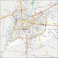
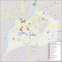
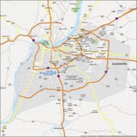
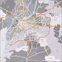
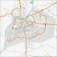
Louisville Crime Map
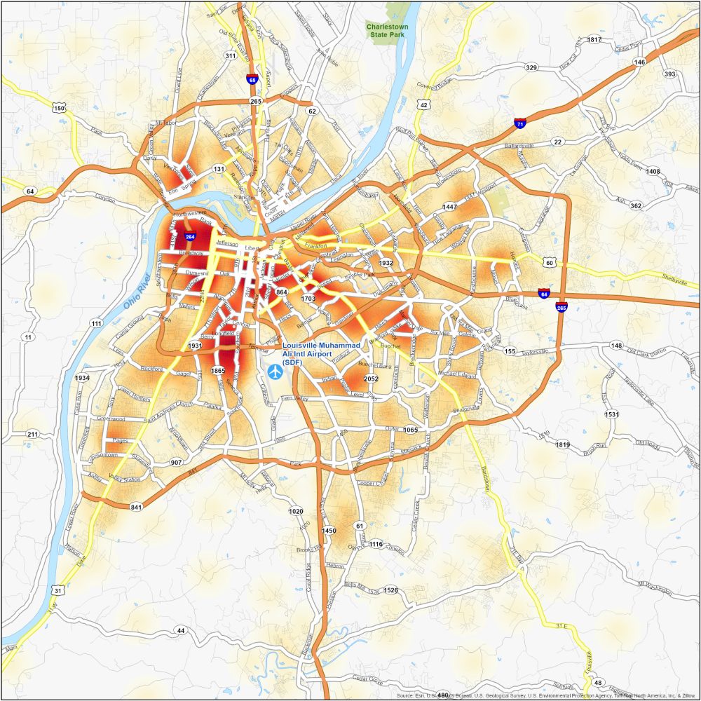
Dangerous Neighborhoods in Louisville
Get street-smart with this Louisville crime map. We identify dangerous neighborhoods in Louisville with a heat map of crime. Here are some of the most dangerous neighborhoods in Louisville.
| Neighborhood | Location | Types of Crimes |
|---|---|---|
| Russell | West Louisville, near downtown and west of I-65 | Property crimes, thefts, burglaries, and occasional violent incidents. |
| Shawnee | West Louisville, along the Ohio River, near Shawnee Park | Property crimes, robberies, assaults, and drug-related offenses. |
| Parkland | Southwest of downtown Louisville, west of I-264 | High rates of property crimes, violent incidents, and drug-related offenses. |
| Smoketown | Southeast of downtown Louisville, near Shelby Park | Property crimes, thefts, assaults, and occasional shootings. |