Maldives Map – Atolls and Channels
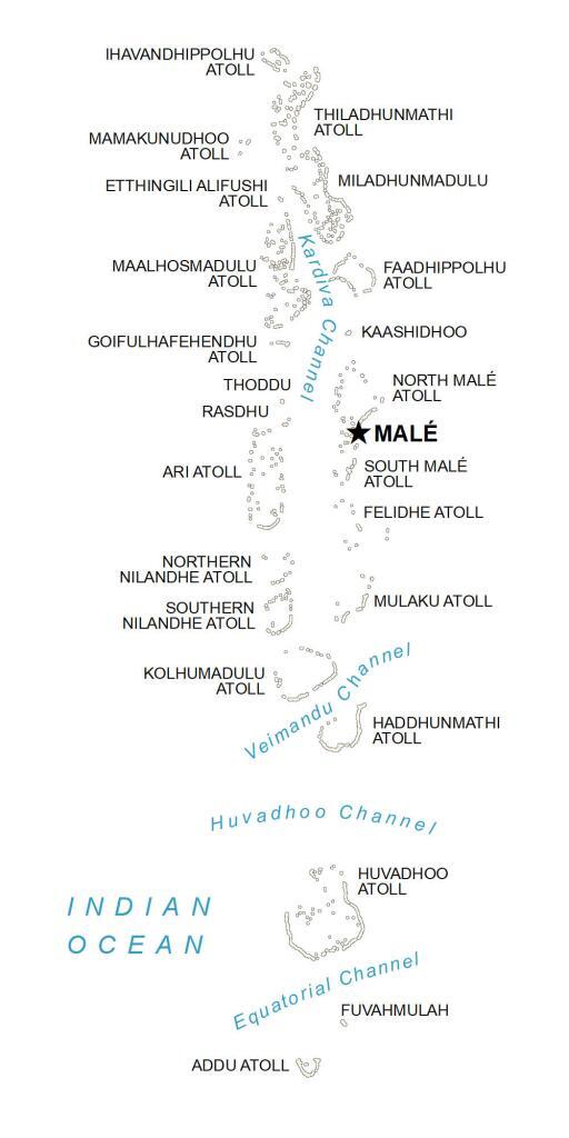
The Maldives is a country made up of small islands and atolls in the Indian Ocean southwest of India and Sri Lanka. This map of the Maldives shows populated places, channels, and the capital city of Malé.
You are free to use our map of the Maldives for educational and commercial uses. Attribution is required. How to attribute?
About the map
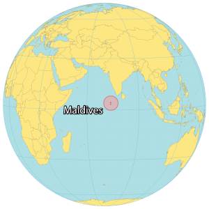
The Maldives is a country in the Indian Ocean southwest of India and Sri Lanka. The Maldives is an archipelago consisting of 20 island atolls and other smaller islands.
It’s dispersed across the equator and it’s the smallest Asian country at about 298 square kilometers. Approximately 557,500 people live in the Maldives, which makes it the second least populous in Asia.
The country is known for its pristine beaches, coral reefs, and marine life. Malé is the capital and largest city of the Maldives.
Capital City
Malé
Islands and atolls
Addu Atoll
Ari Atoll
Etthingili Alifushi Atoll
Faadhippolhu Atoll
Felidhe Atoll
Fuvahmulah
Goifulhafehendhu Atoll
Haddhunmathi Atoll
Huvadhoo Atoll
Ihavandhippolhu Atoll
Kaashidhoo
Kolhumadulu Atoll
Maalhosmadulu Atoll
Mamakunudhoo Atoll
Miladhunmadulu Atoll
Mulaku Atoll
North Malé Atoll
Northern Nilandhe Atoll
Rasdhu
South Malé Atoll
Southern Nilandhe Atoll
Thiladhunmathi Atoll
Thoddu
Channels and oceans
Huvadhoo Channel
Indian Ocean
Equatorial Channel
Kardiva Channel
Veimandu Channel