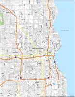
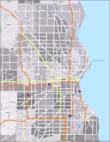
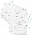
Milwaukee Neighborhood Map
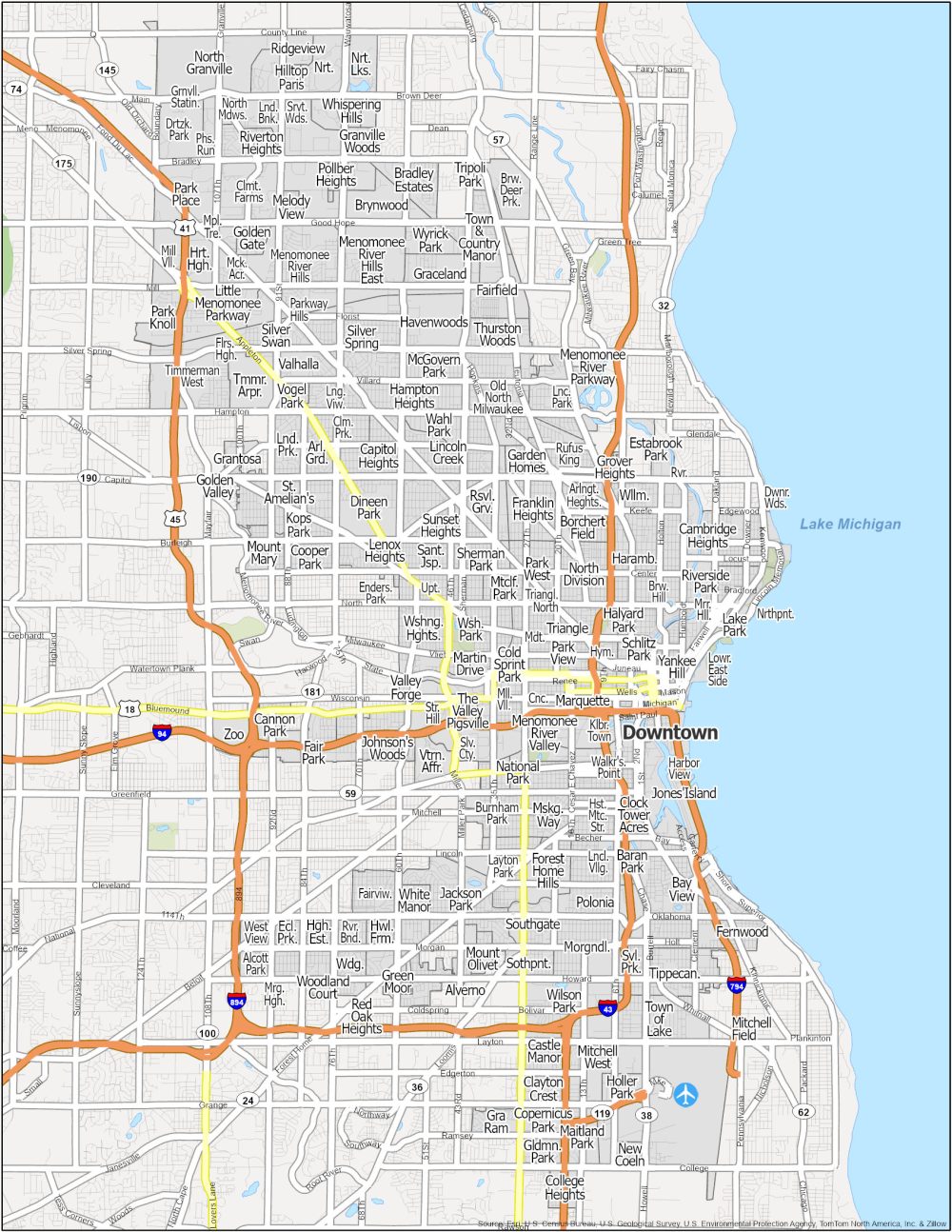


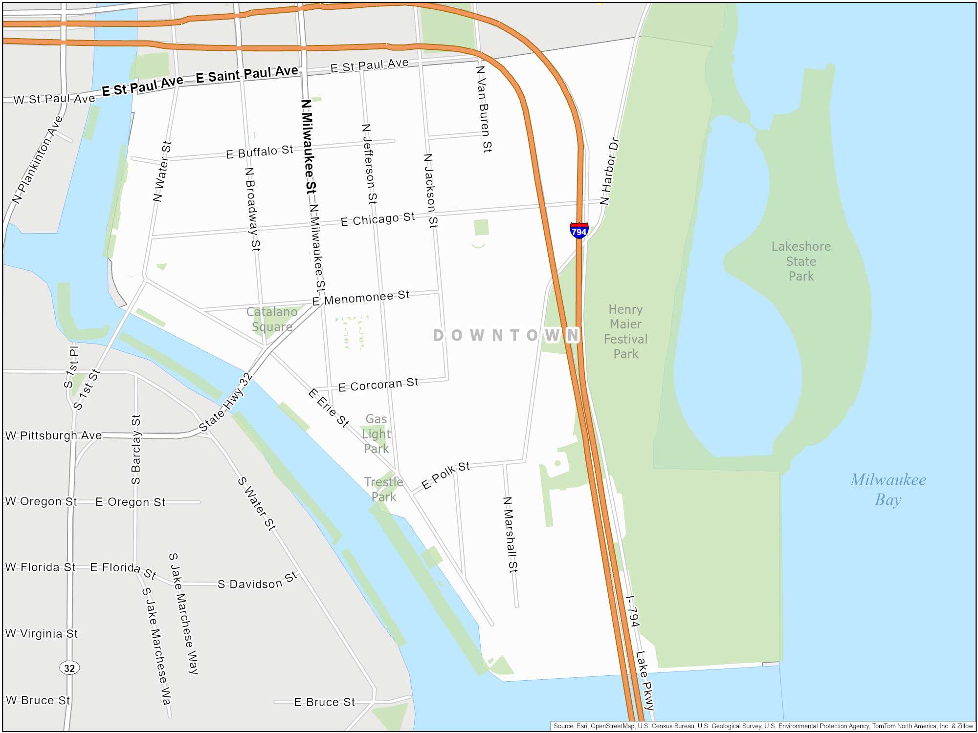
Milwaukee Downtown
Let’s kick off with Downtown Milwaukee. We suggest you visit the Milwaukee Art Museum and stroll along the Riverwalk. This three-mile pedestrian path is along the Milwaukee River. Brew City is where beer flows like water. But unfortunately not in the Milwaukee River.
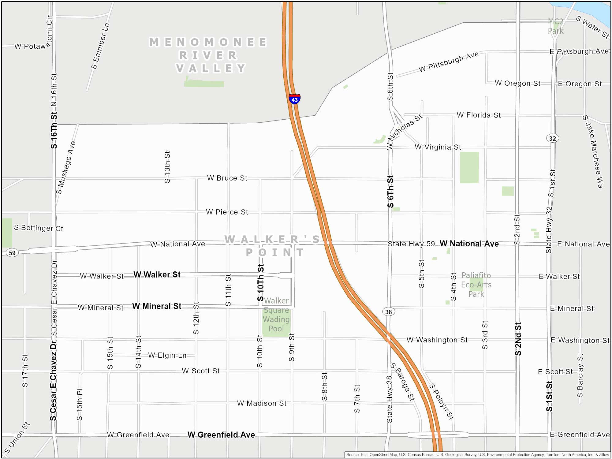
Walker’s Point
Two of the highlights in Walker’s Point are the Harley-Davidson Museum and Milwaukee Brewing Company. Think about the Milwaukee Brewers. Such a history from the city’s history of brewing beer.
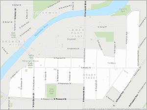
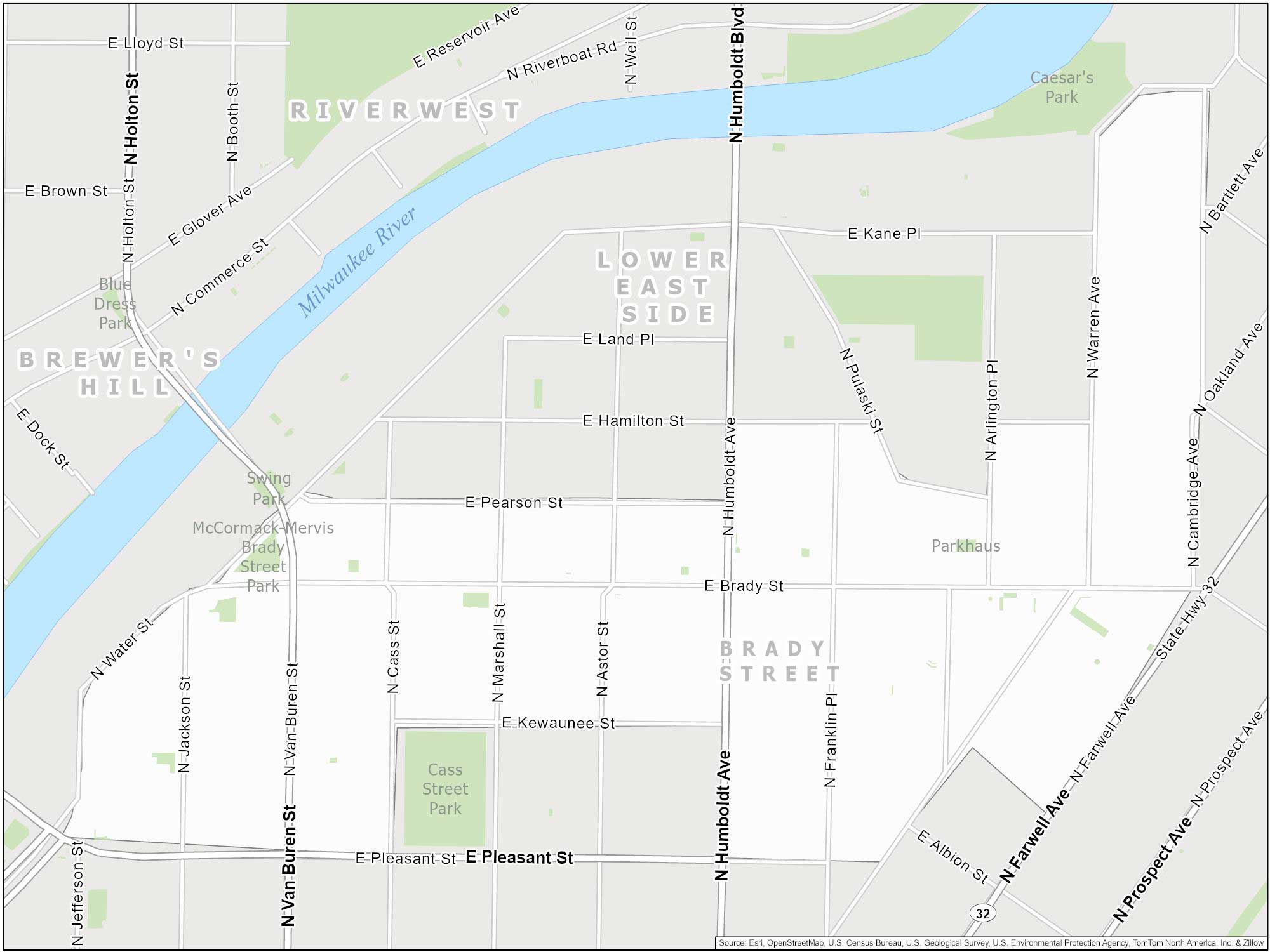
Brady Street
Brady Street is full of life and character. It’s known for its Brady Street Festival. This annual festival brings in crowds for music, food, and fun. This neighborhood is more than 200 years old.
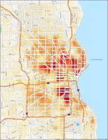
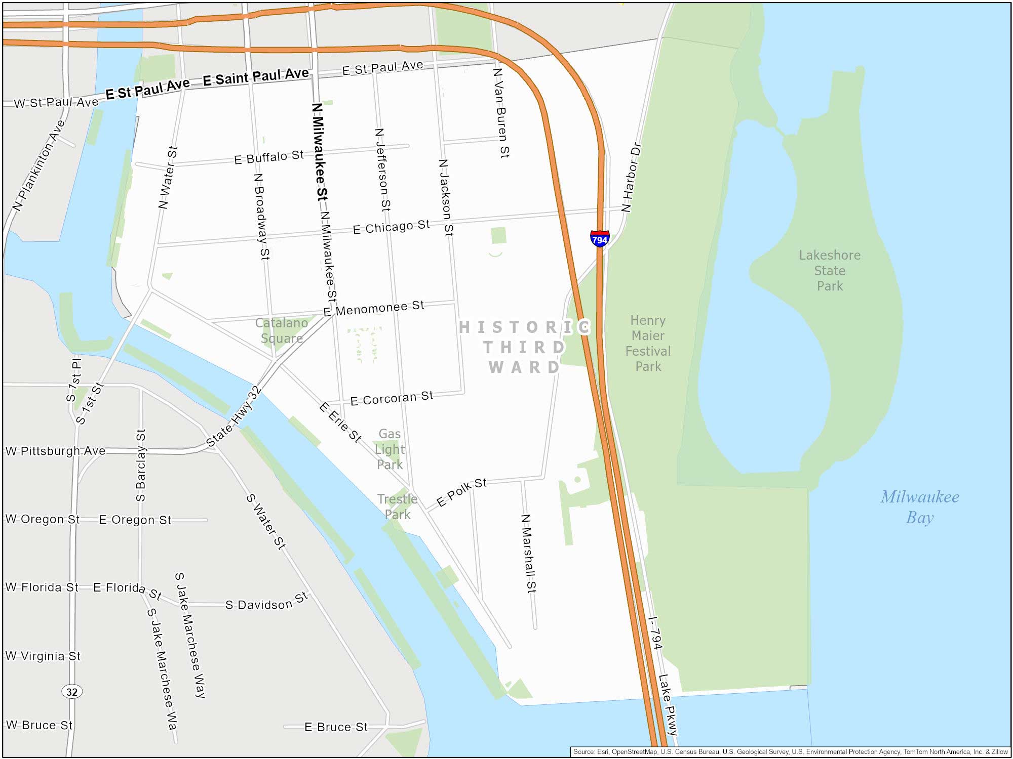
Historic Third Ward
Looks familiar? Ya, because it’s the same map as Downtown Milwaukee. Anyways… This is Milwaukee’s historic area. This district houses boutiques, galleries, and cafes. Finally, the Milwaukee Public Market is a highlight with tons of food options.
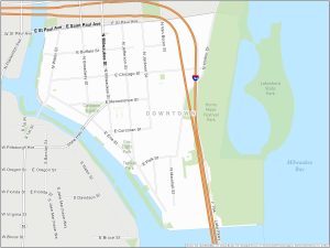
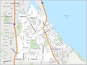
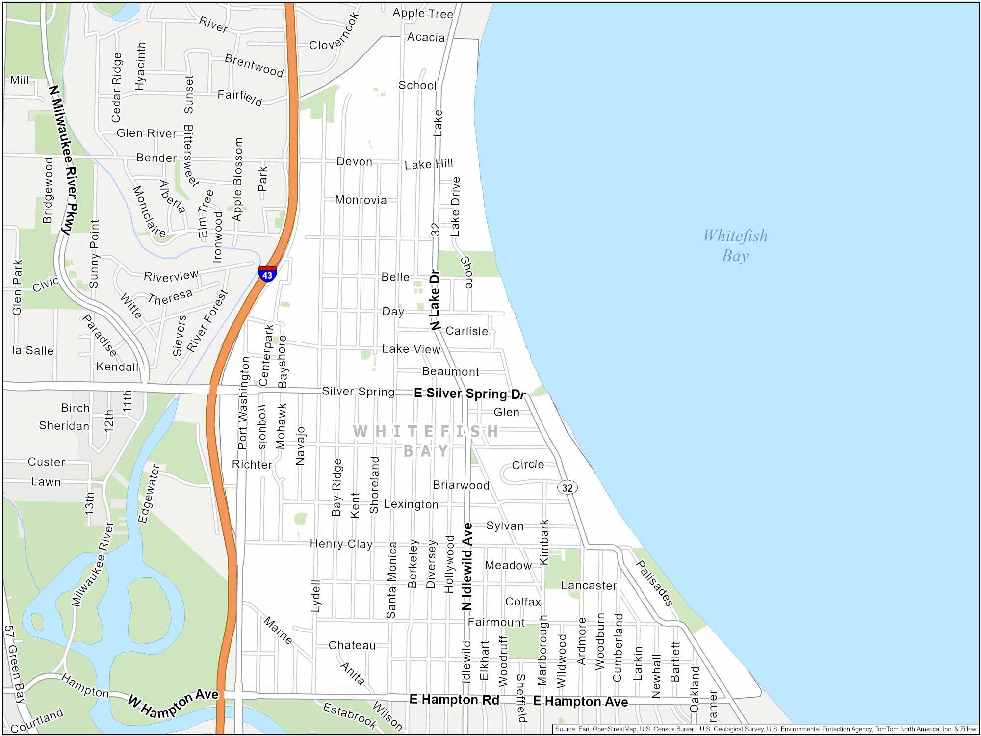
Whitefish Bay
Not a lot of people talk about Whitefish Bay. But they should. This neighborhood is along the lakefront of Lake Michigan. We like the Milwaukee Art Museum as a top attraction here.
Bay View
This is another exciting neighborhood. It’s centered around Kinnickinnic Avenue and is a favorite among artists. But rising property prices here have been a bit of a concern. Nevertheless, it’s still a top neighborhood in Milwaukee.

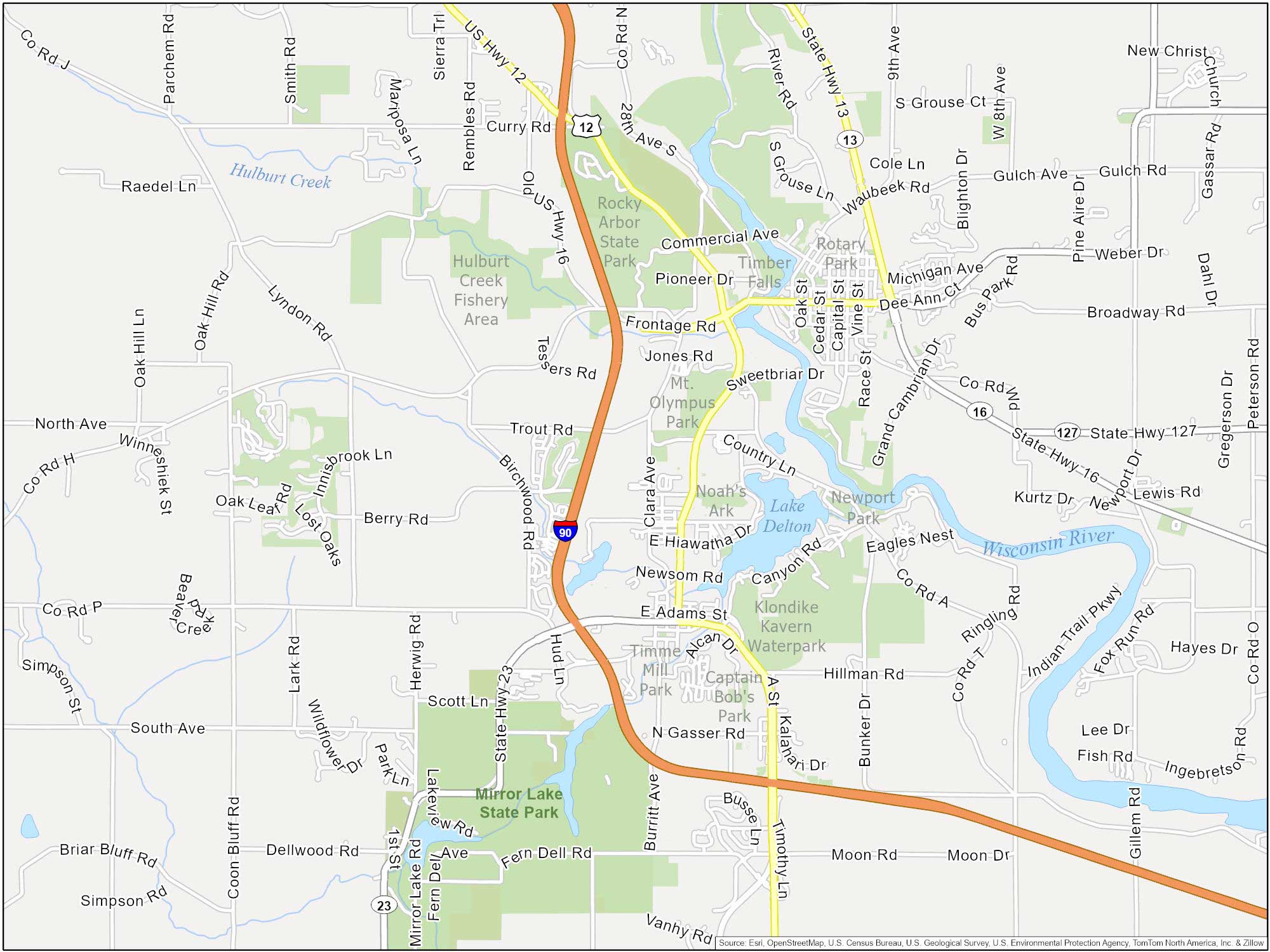
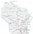
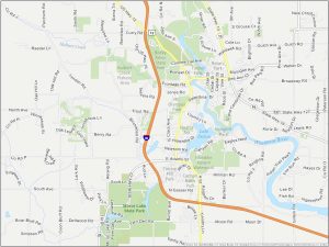
Wisconsin Dells
I repeat. This is not in Milwaukee. It’s about 2 hours driving distance away. But it’s sure to make a good road trip and a big splash. Dells-style! Our map features Mount Olympus, Noah’s Ark, Klondike Kavern, and other water parks.