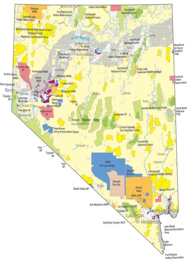
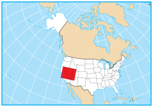
Nevada State Map – Places and Landmarks
You are free to use our map of Nevada for educational and commercial uses. Attribution is required. How to attribute?
About the map
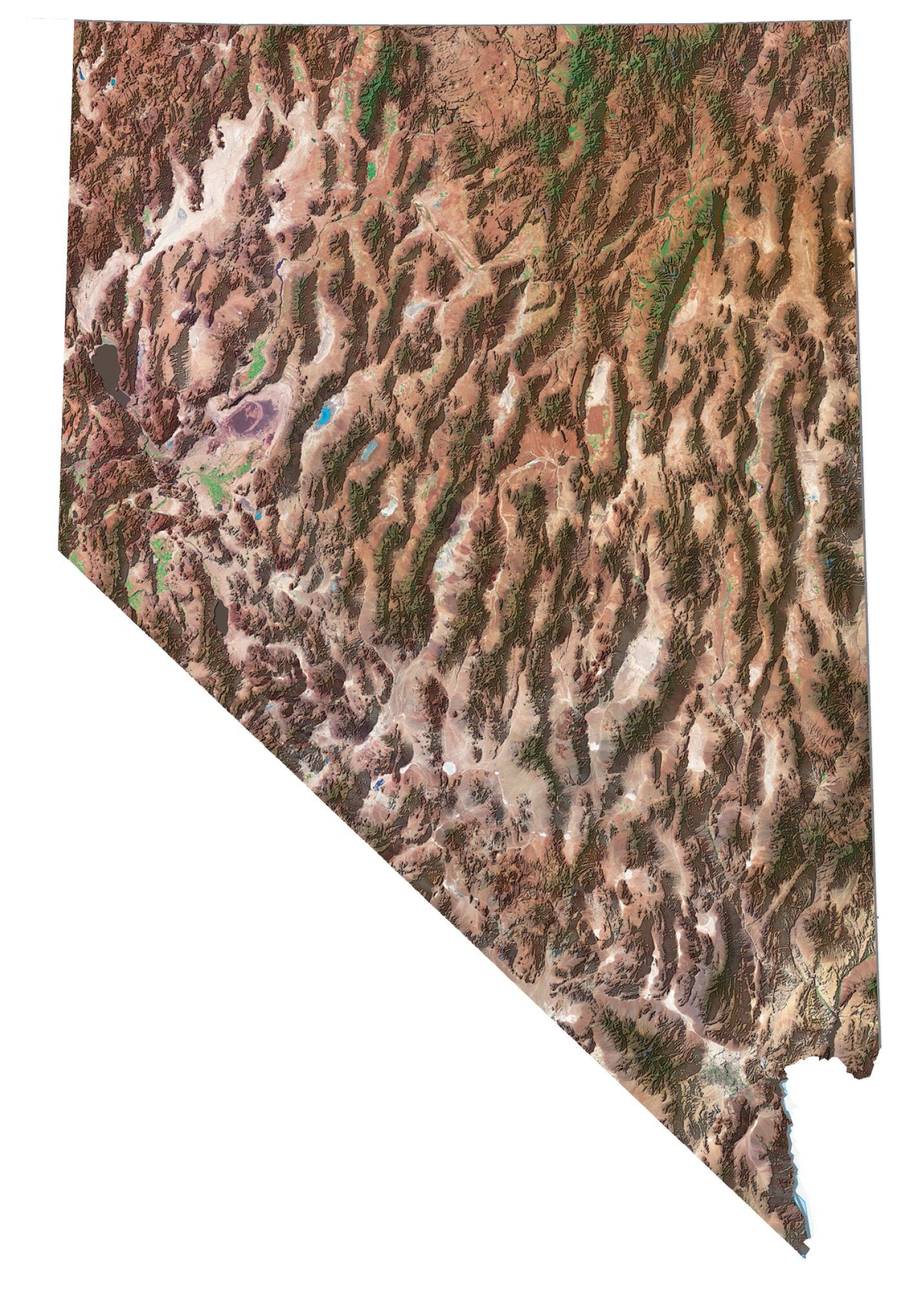
This Nevada State Map shows major landmarks and places in Nevada. Our map features national forests, military bases, preserves, wildlife refuges, and federal lands.
There are endless things to do in Nevada. I like visiting the Grand Canyon and the famous Hoover Dam. Of course, you can also uncover Nevada’s rich history in downtown Reno.
Great Basin National Park has scenic drives in the South Snake mountains eventually to the 4000-meter Wheeler Peak. Plus, Death Valley National Park is the hottest, driest, and lowest national park in the United States with steady droughts and record heat.
Federal lands
National Park (NP)
Great Basin National Park
Death Valley National Park
National Forests (NF)
Toiyabe NF
Inyo NF
Humboldt NF
National Wildlife Refuge (NWR)
Ash Meadows NWR
Lake Mohave NWR
Pahranagat NWR
Stillwater NWR
Fallon NWR
Ruby Lake NWR
Anaho Island NWR
Sheldon NWR
National Conservation Area (NCA)
Red Rock Canyon National Conservation Area
Emigrant Trails National Conservation Area
Other Landmarks
Stillwater Wildlife Management Area
Black Rock Desert/High Rock Canyon
Mohave Desert
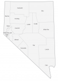
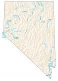
Nevada lakes, rivers and reservoirs
Lakes, rivers and reservoirs
Lake Mead
Lahontan Reservoir
Rye Patch Reservoir
Humboldt River
Lake Tahoe
Atlantic Ocean
Indian Reserves (IR)
Fort Mojave IR
Moapa River IR
Las Vegas Colony IR
Duckwater IR
Fallon IR
Yerington IR
Walker River IR
Yomba IR
Te-Moak IR
Goshute IR
Pyramid Lake IR
Reno-Sparks IR
Fort McDermitt IR
Summit Lake IR
Duck Valley IR
Army, naval and military
Central Nevada Test Site Base Camp
Nellis Air Force Range
Nevada Test Site
Nellis Air Force Base
Fallon Naval Air Station
Fallon Naval Target Range
Hawthorne Army Ammunition Depot
Wendover Air Force Auxiliary Field
Nevada Map – Landmarks and places
Las Vegas
Reno
Carson City
Sparks
Henderson
Caliente
Carlin Elko
Ely
Lovelock
Wells
Winnemucca
Battle Mountain
Austin
Beatty
Eureka
Gardnerville
McDermitt
Panaca
Pioche
Round Mountain
Ruth
Tonopah
State capital
Carson City
Very beautiful state. Las Vegas is wonderful to see.