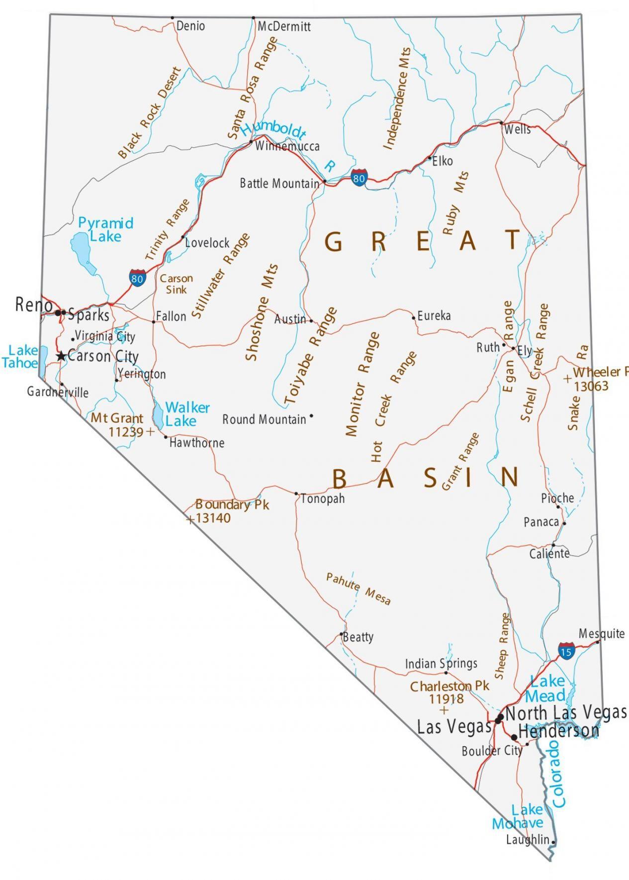
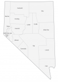
Map of Nevada – Cities and Roads
About the map
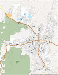
This Nevada map contains cities, roads, rivers, and lakes. For example, Las Vegas, Henderson, and Reno are major cities displayed in this map of Nevada. But Carson City is the capital of the state.
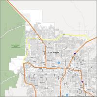
From the lights of the Las Vegas strip to the natural beauty of Lake Tahoe, there’s something for every tourist. But the major tourist city is Las Vegas, nicknamed the “City that Never Sleeps”. Las Vegas alone keeps the state alive with nearly 50 million people visiting the city for gambling and entertainment.
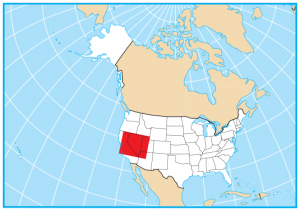
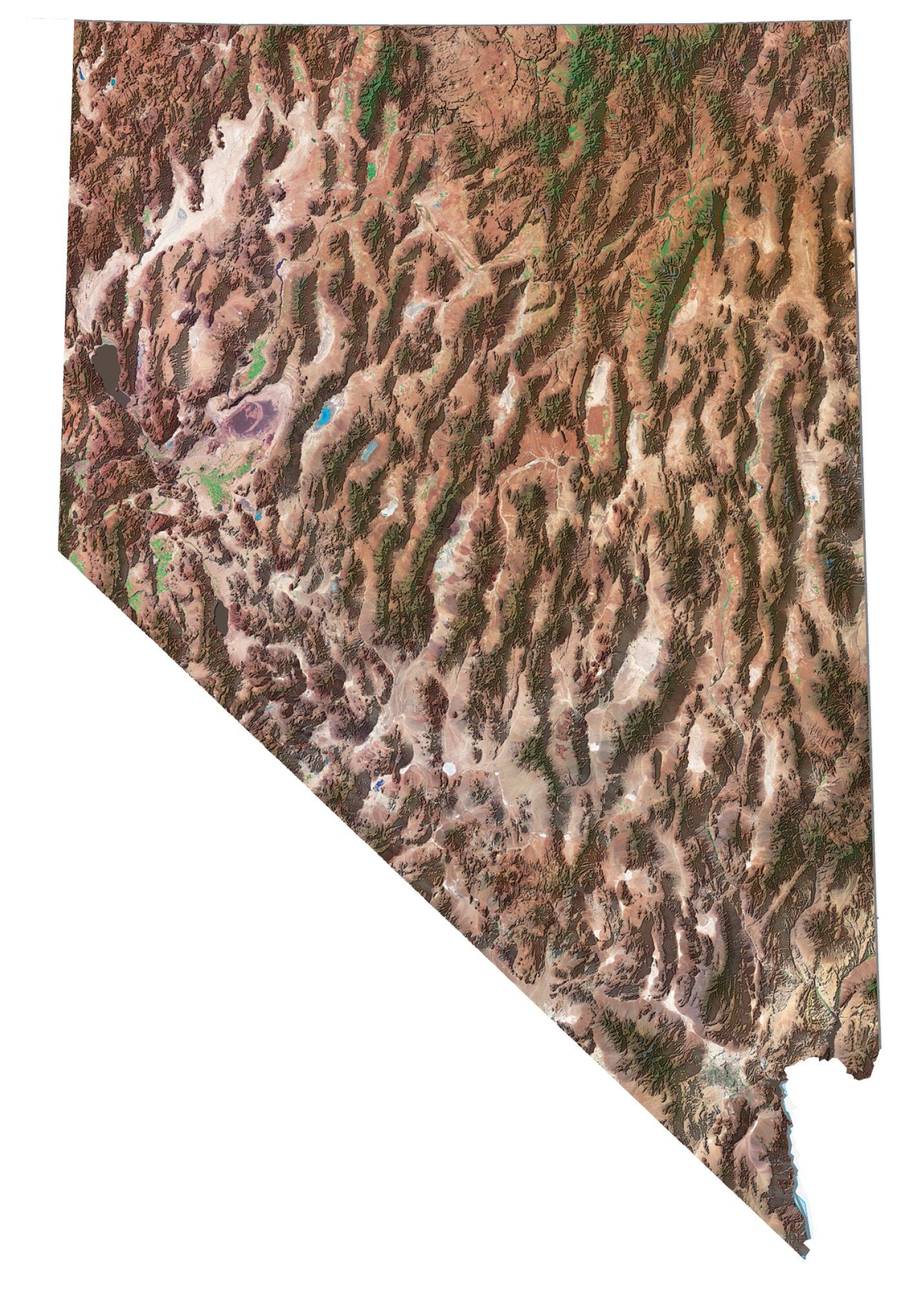
The landscape is characterized as mostly desert and semi-arid terrain. The state borders California, Oregon, Idaho, Utah, and Arizona. Las Vegas may be the city that never sleeps. But the rest of Nevada is a state that you can never stop exploring like its sandstone cliffs and desert landscapes.
Nevada map collection
You are free to use our map of Nevada for educational and commercial uses. Attribution is required. How to attribute?
State capital
Carson City
Major cities and towns
Las Vegas
Henderson
Reno
North Las Vegas
Carson City
Sparks
Boulder City
Caliente
Elko
Ely
Fallon
Lovelock
Wells
Winnemucca
Yerington
Battle Mountain
Austin
Beatty
Denio
Eureka
Gardnerville
Hawthorne
Indian Springs
McDermitt
Panaca
Pioche
Round Mountain
Ruth
Tonopah
Virginia City
Mesquite
Laughlin
Interstate highways
Interstate-11 (I-11)
Interstate-15 (I-15)
Interstate-80 (I-80)
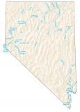
Lakes, rivers and creeks
Humboldt River
Pyramid Lake
Lake Tahoe
Walker Lake
Lake Mead
Lake Mohave
Colorado River
Pacific Ocean
Landmarks in Nevada
Snake Range
Schell Creek Range
Egan Range
Grant Range
Sheep Range
Pahute Mesa
Monitor Range
Hot Creek Range
Ruby Mountains
Independence Mountains
Toiyabe Range
Shoshone Mountains
Stillwater Range
Carson Sink
Trinity Range
Black Rock Desert
Santa Rosa Range
Great Basin
Boundary Peak
Charleston Peak
Mount Grant
Wheeler Peak
I lost all my money and wife’s in Vegas back in 1984. It wasn’t from gamboling, we stopped holding hands for but a moment, and she had my wallet. I’ve been in the desert ever since. Please send water and wi-fi, I need to catch up Murder She Wrote…
Hello please can I make use of this map in my travel guide book for readers