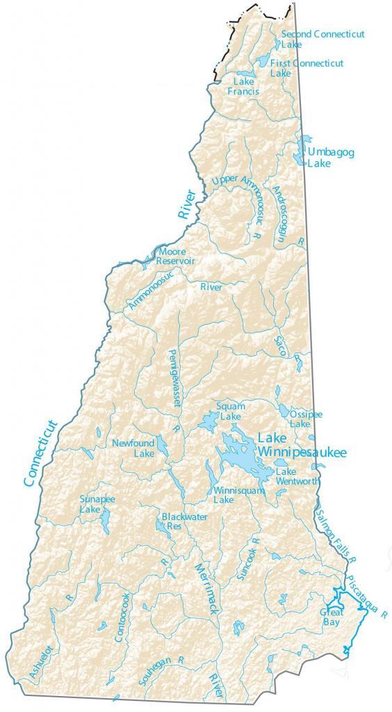
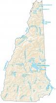
New Hampshire Lakes and Rivers Map
About the map
In this map, you will find major rivers, reservoirs, and lakes of New Hampshire like the Connecticut River and Lake Winnipesaukee. In general, the rivers of New Hampshire flow into the Atlantic Ocean.
The Connecticut River is a major feature in New Hampshire. In fact, it entirely forms the western border with the state of Vermont. New Hampshire is filled with all sorts of outdoor activities.
New Hampshire has more than 800 lakes and ponds, and more than 19,000 miles of rivers and streams. By far, the largest lake in New Hampshire is Lake Winnipesaukee at 44,586 acres in area. It’s more than 5 times the size of the second-largest Umbagog Lake, which extends into Maine as well.
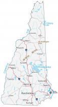
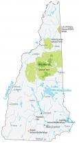
New Hampshire map collection
You are free to use our lakes and rivers map of New Hampshire for educational and commercial uses. Attribution is required. How to attribute?
New Hampshire lakes, rivers and reservoirs
Major lakes of New Hampshire
Lake Winnipesaukee
Umbagog Lake
Lake Francis
Connecticut Lake
Squam Lake
Sunapee Lake
Newfound Lake
Ossipee Lake
Lake Wentworth
Winnisquam Lake
Rivers and streams
Connecticut River
Merrimack River
Contoocook River
Saco River
Ammonoosuc River
Ashuelot River
Pemigewasset River
Androscoggin River
Moore Reservoir
Upper Ammonoosuc River
Suncook River
Souhegan River
Salmon Falls River
Piscataqua River
Bays and reservoirs
Great Bay
Blackwater Reservoir
Amazing but could be bigger 9.6/10