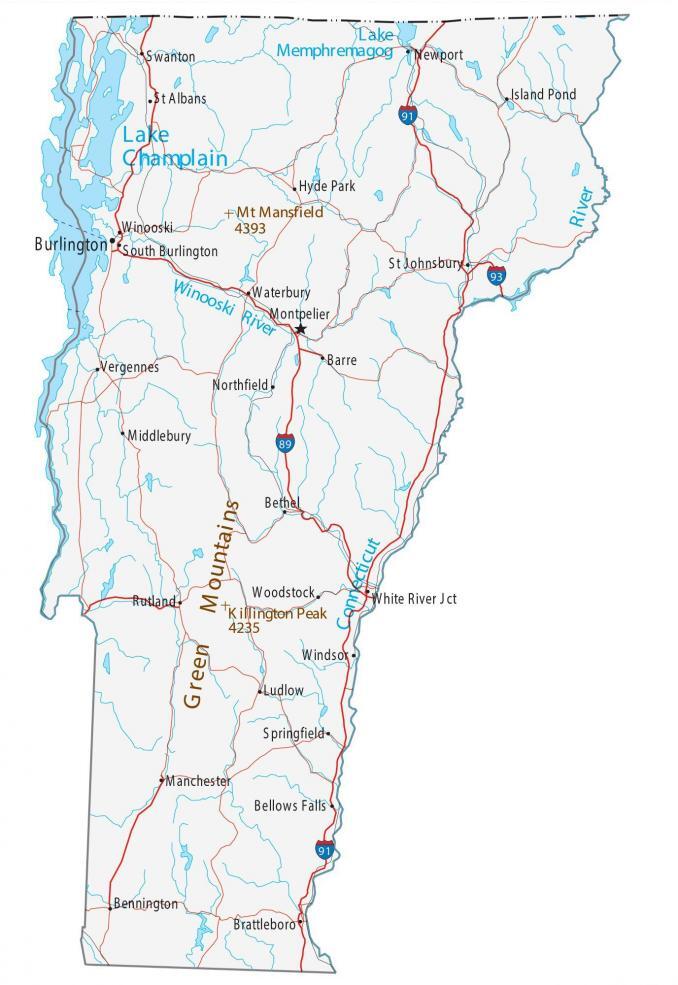
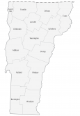
Map of Vermont – Cities and Roads
About the map
This Vermont map contains cities, roads, rivers, and lakes. For example, Burlington, South Burlington, and Essex are some of the major cities shown on this map of Vermont.
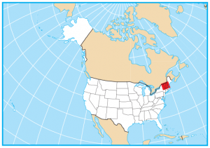
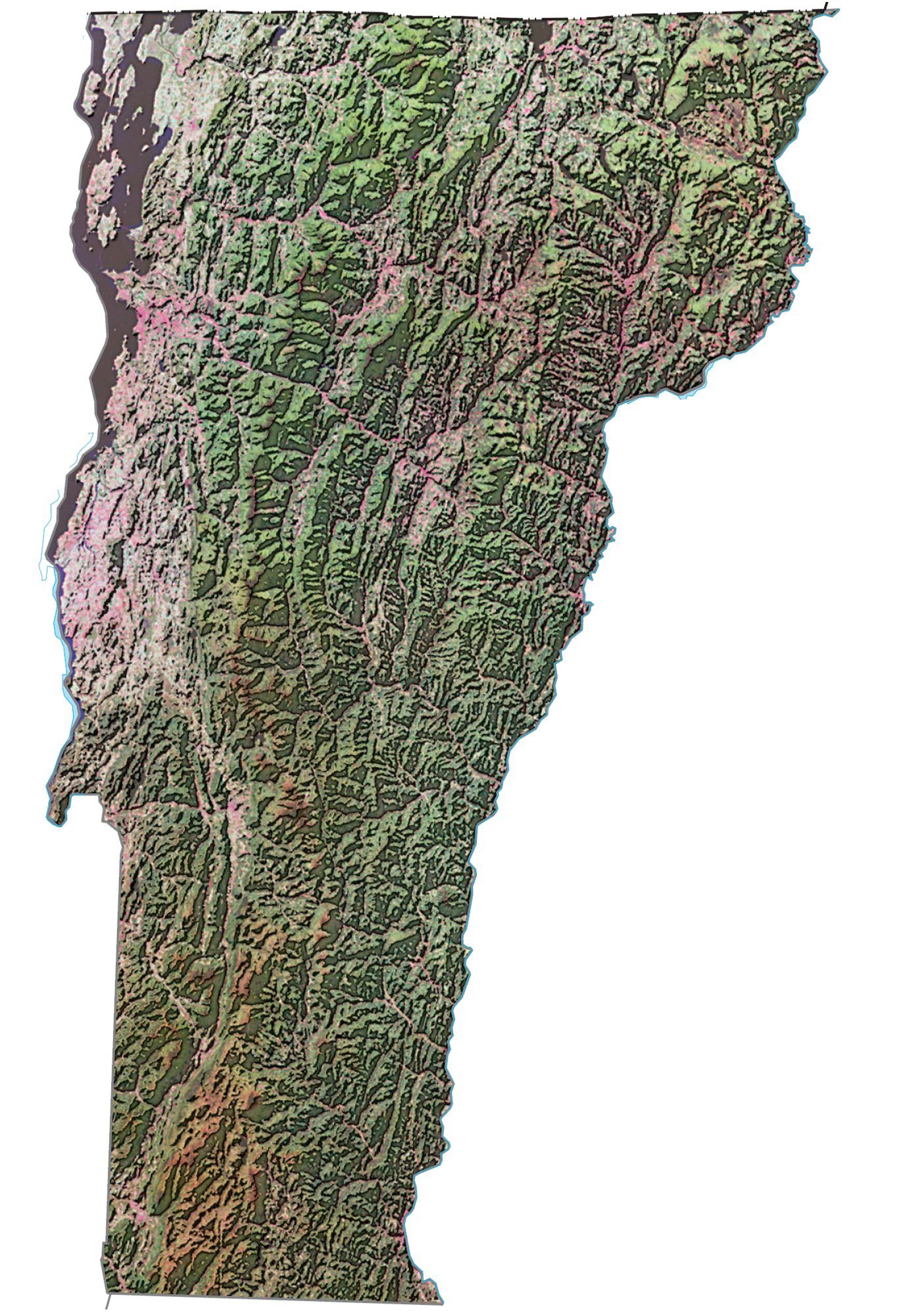
The state of Vermont is situated in the northeastern part of the United States and borders New York, Massachusetts, New Hampshire, and the Canadian province of Quebec.
Its nickname is the Green Mountain State because of its lush green landscape and mountainous terrain. Vermont is best known for its maple syrup, Ben and Jerry’s ice cream, and beaches along Lake Champlain. Other highlights of Vermont include farm-to-table cuisine, craft beer, cheese, progressive values, and its outdoor recreation.
Vermont map collection

You are free to use our map of Vermont for educational and commercial uses. Attribution is required. How to attribute?
State capital
Montpelier
Major cities and towns
Burlington
Montpelier
Barre
Bellows Falls
Newport
Rutland
St Albans
Bennington
Brattleboro
St Johnsbury
Springfield
Windsor
Middlebury
Vergennes
Swanton
Winooski
South Burlington
White River Jct
Island Pond
Hyde Park
Waterbury
Northfield
Bethel
Woodstock
Ludlow
Manchester
Interstate highways
Interstate-89 (I-89)
Interstate-91 (I-91)
Interstate-93 (I-93)
Lakes, rivers and creeks
Lake Champlain
Connecticut River
Atlantic Ocean
Lake Memphremagog
Winooski River
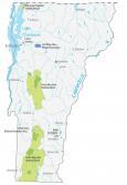
Landmarks in Vermont
Green Mountains
Mount Mansfield
Killington Peak