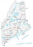
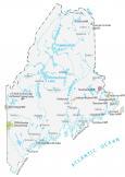
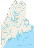
Map of Maine – Cities and Roads

About the map
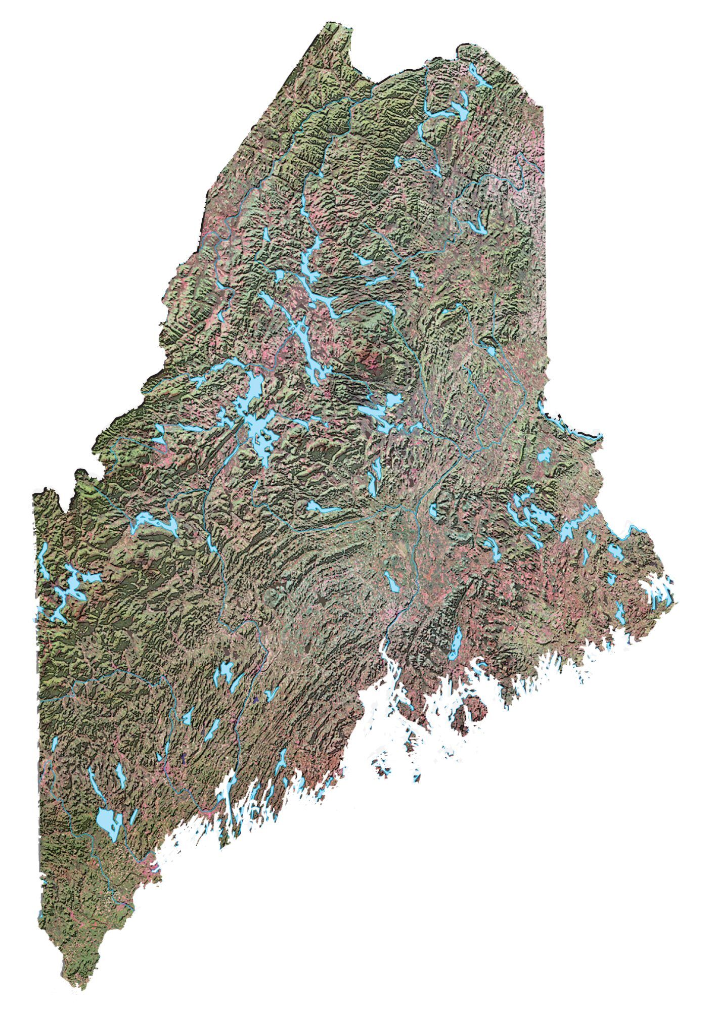
This Maine map displays cities, interstate highways, mountains, rivers, and lakes. For example, Portland, Lewiston, and Bangor are major cities shown on this map of Maine. Maine is nicknamed the “Pine Tree State”. But I’ve also heard it called the “Lobster State”.
Picture tough Atlantic sailors with lighthouses on foggy cliffs. Otherwise, Maine is also known for having the most forested percent area than any other state. Visit these sights which include Acadia National Park.
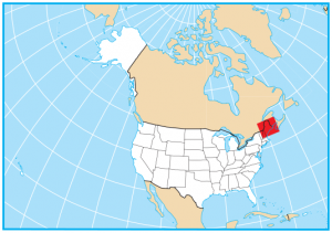
The state of Maine borders only one state, and that’s New Hampshire to the southwest. Its other borders are with the Atlantic provinces of Canada, including New Brunswick and the French province of Quebec.
Maine map collection
You are free to use our map of Maine for educational and commercial uses. Attribution is required. How to attribute?
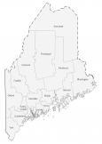
State capital
Augusta
Major cities and towns
Bangor
Lewiston
Portland
Augusta
Auburn
Bath
Biddeford
Eastport
Ellsworth
Saco
Waterville
Westbrook
Rockland
Belfast
Calais
Caribou
Presque Isle
Vanceboro
Jackman
Orono
Brunswick
Bucksport
Dexter
Dover-Foxcroft
Fort Fairfield
Greenville
Machias
Macwahoc
Madawaska
Mars Hill
Millinocket
Newport
Rumford
Skowhegan
Bar Harbor
Lincoln
Houlton
Fort Kent
Van Buren
Ashland
Topsfield
Farmington
Camden
Kittery
Sanford
Norway
Interstate highways
Interstate-95 (I-95)
Lakes, rivers and creeks
Lakes and reservoirs
Moosehead Lake
Chamberlain Lake
Sebago Lake
Flagstaff Lake
Chesuncook Lake
Pemadumcook Lakes
Richardson Lakes
Mooselookmeguntic Lake
Great Pond
Casco Bay
Pushaw Lake
Graham Lake
Schoodic Lake
West Grand Lake
Big Lake
Baskahegan Lake
Square Lake
Long Lake
Eagle Lake
Bay of Fundy
Penobscot Bay
Gulf of Maine
Rivers, channels and streams
St John River
Kennebec River
Penobscot River
Allagash River
St Lawrence River
St Croix River
Aroostook River
Saco River
Piscataquis River
Grand Manan Channel
Mattawamkeag River
Androscoggin River
Mountains in Maine
Appalachian Mountains
Mount Katahdin
Mount Desert
Are there any good restaurants in the Boothbay area?
Good information about the beautiful state of Maine. Just doing some research for a fiction that I’m writing, but the locale has to be real.
It’s a lovely state. Beautiful forests, rivers, and mountains.
I was born and raised in Rumford & went to UMO about a million years ago. In spite of the fact that I’ve lived in Connecticut for over 30 years and am the furthest thing from an “outdoorsy” person, Maine will always be home in my heart!
Maine is the Pine Tree State
Maine borders NH not Vermont. Those folks in New Hampshire have enough places to live without having to board with us folks in Maine. :)
LOL! That’s funny!
Maine boarders NH not Vermont.
Thanks, Gregory. I fixed the text.