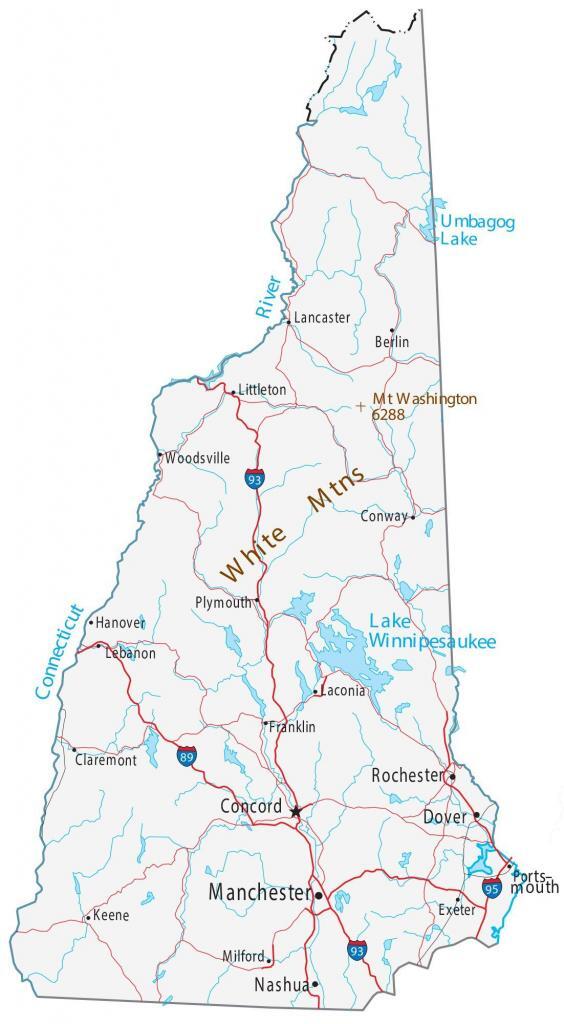
Map of New Hampshire – Cities and Roads
About the map
Our New Hampshire map contains cities, roads, rivers, and lakes. For example, Concord, Manchester, and Rochester are some of the major cities shown on this map of New Hampshire.
New Hampshire is nicknamed the “Granite State” because of its granite quarries. But it’s also known for its wood-covered bridges, beautiful foliage, and Ivy League colleges like Dartmouth.
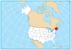
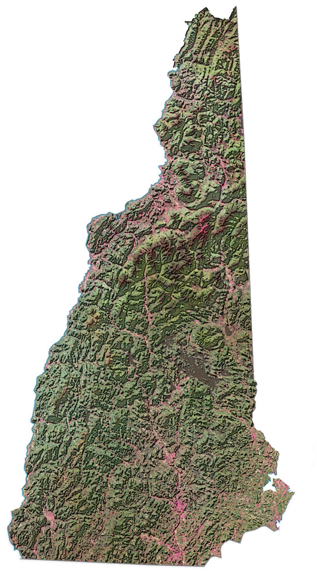
The Appalachian Mountains dominate the north. But the White Mountains are a mix of rugged mountains and narrow valleys in the south. New Hampshire borders Maine, Massachusetts, Vermont, and the Canadian province of Quebec.
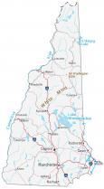
New Hampshire map collection
You are free to use our map of New Hampshire for educational and commercial uses. Attribution is required. How to attribute?
State capital
Concord
Major cities and towns
Manchester
Concord
Dover
Nashua
Rochester
Berlin
Claremont
Franklin
Keene
Laconia
Lebanon
Conway
Exeter
Hanover
Lancaster
Littleton
Portsmouth
Woodsville
Plymouth
Milford
Interstate highways
Interstate-89 (I-89)
Interstate-93 (I-93)
Interstate-95 (I-95)
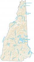
Lakes, rivers and creeks
Connecticut River
Lake Winnipesaukee
Atlantic Ocean
Umbagog Lake
Landmarks in New Hampshire
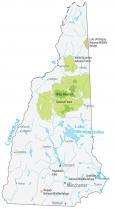
White Mountains
Mount Washington